My Solo Spring Reset: 4 Days in Arizona for a Wellness Escape

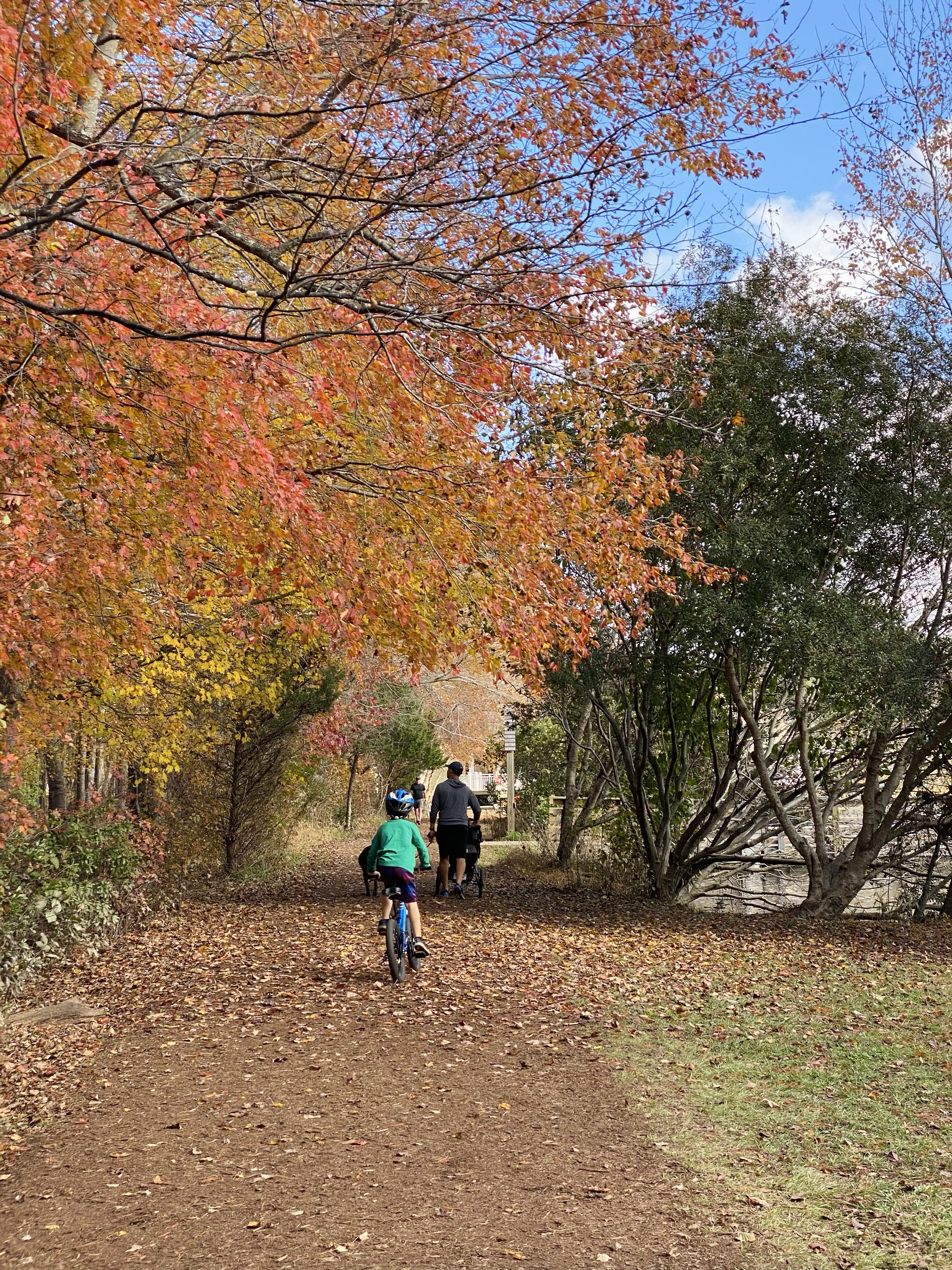
Turning 40 felt like the perfect time for a reset—an opportunity to step away from the everyday hustle and gift myself a little space to reflect, move my body, and soak up nature’s beauty. When my husband needed to be in Arizona for work (and since I could fly for free thanks to his companion pass—woohoo!), I decided to take advantage of the opportunity and turn the trip into a personal wellness retreat.

For four days, I focused on slowing down, moving intentionally, and soaking up Arizona’s stunning landscapes. Here’s a recap of what made this solo trip such a refreshing escape.

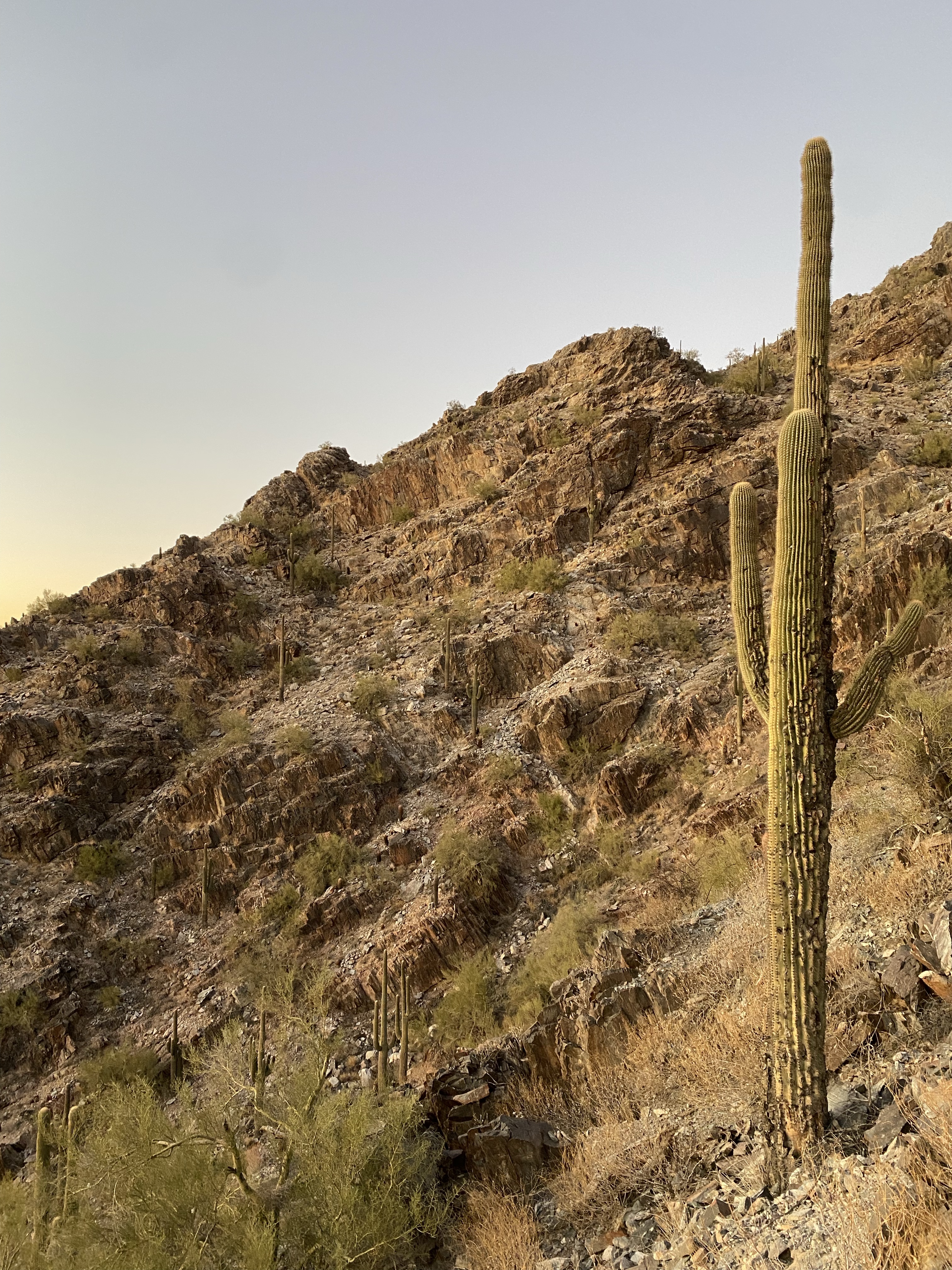
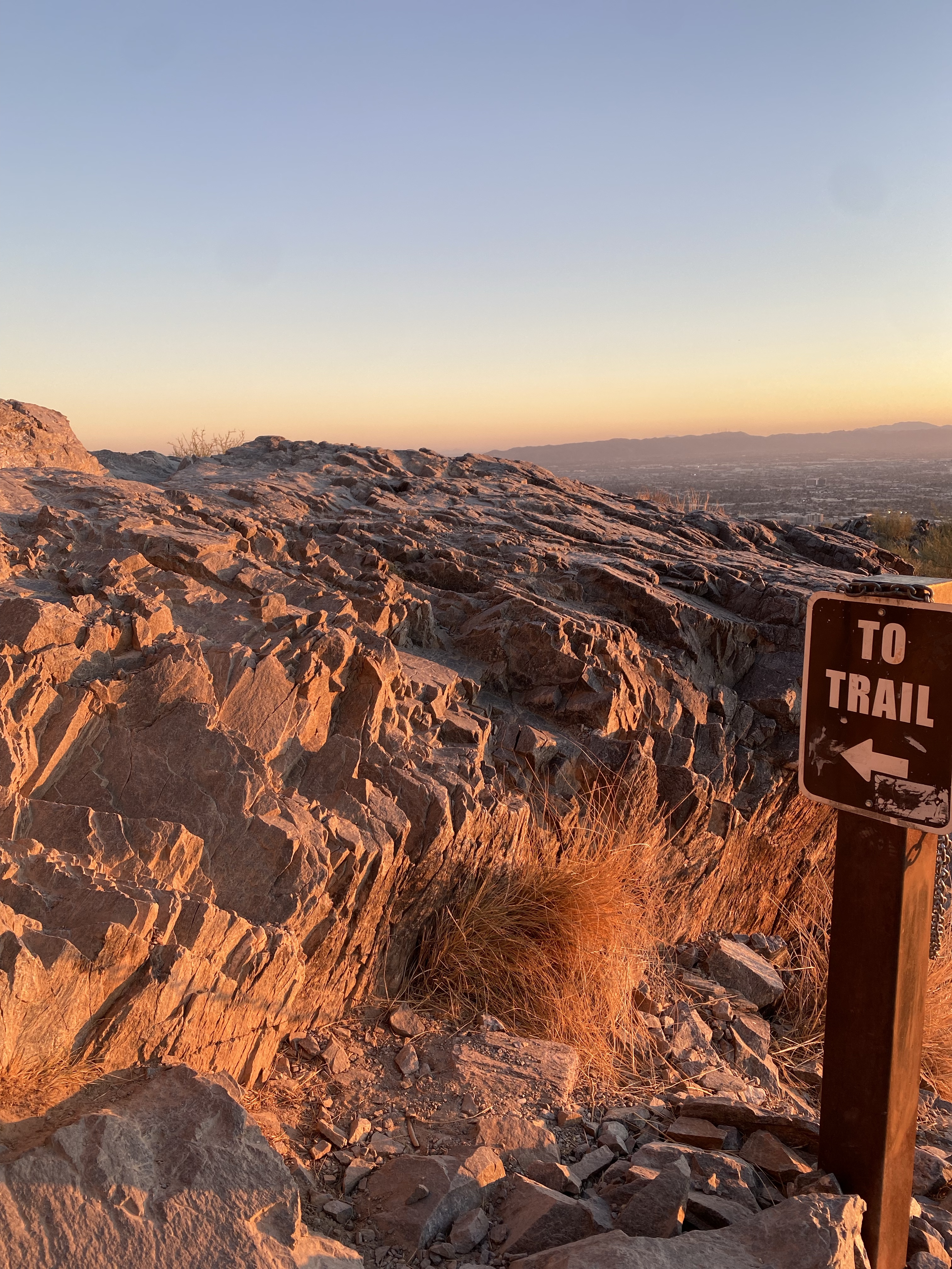
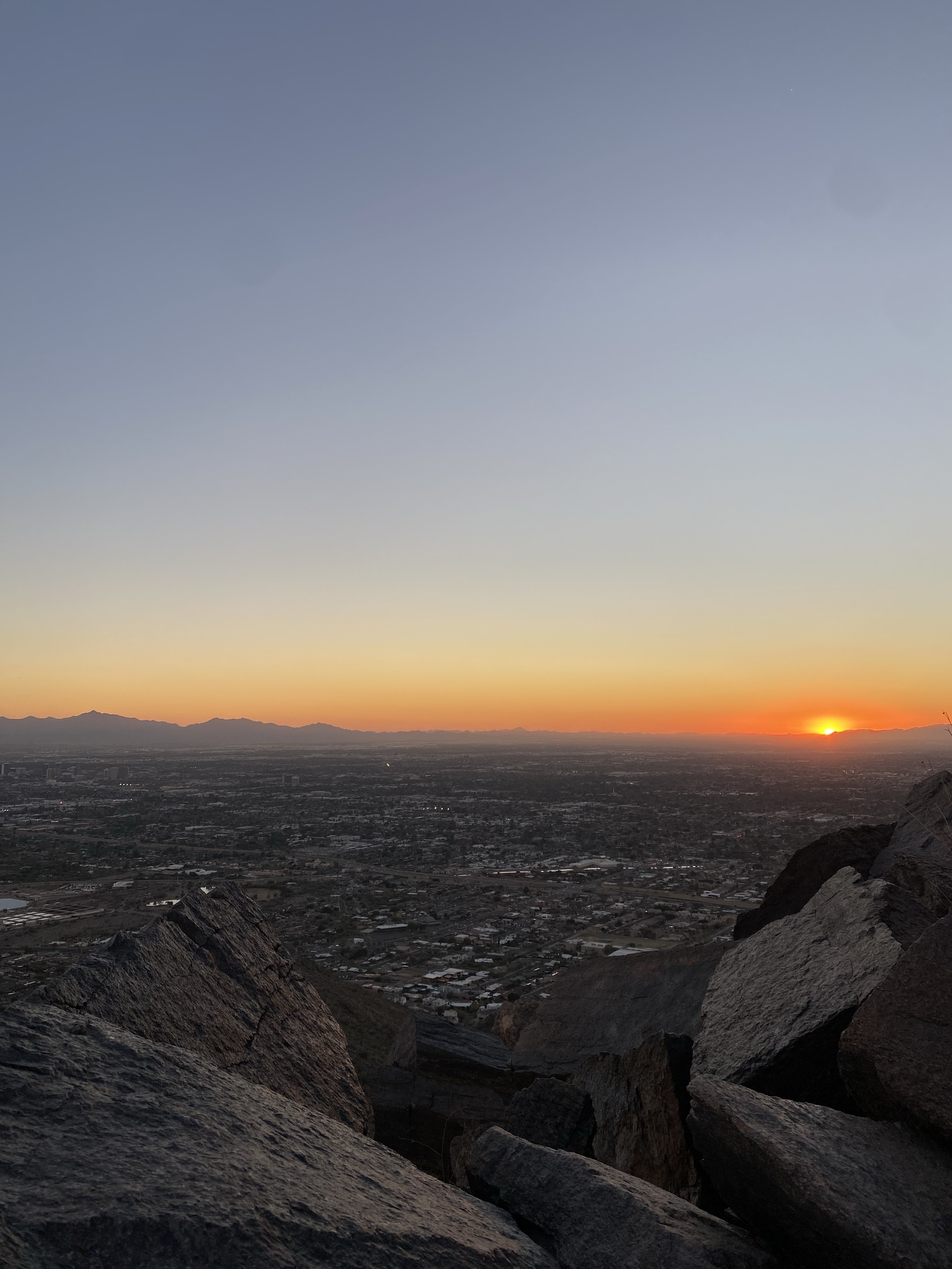
Day 1: Hiking & Sunset Views at Piestewa Peak

Nothing sets the tone for a trip like a good hike after a long travel day, and Piestewa Peak did not disappoint. The climb was a challenge, but reaching the summit and taking in the panoramic views as the sun dipped below the mountains was absolutely worth it. There’s something about standing at the top, watching the sky transform, that makes you feel both small and limitless at the same time. It was the perfect way to kick off my time in Arizona—just me, (and several other hikers), the trail, and that golden-hour glow.

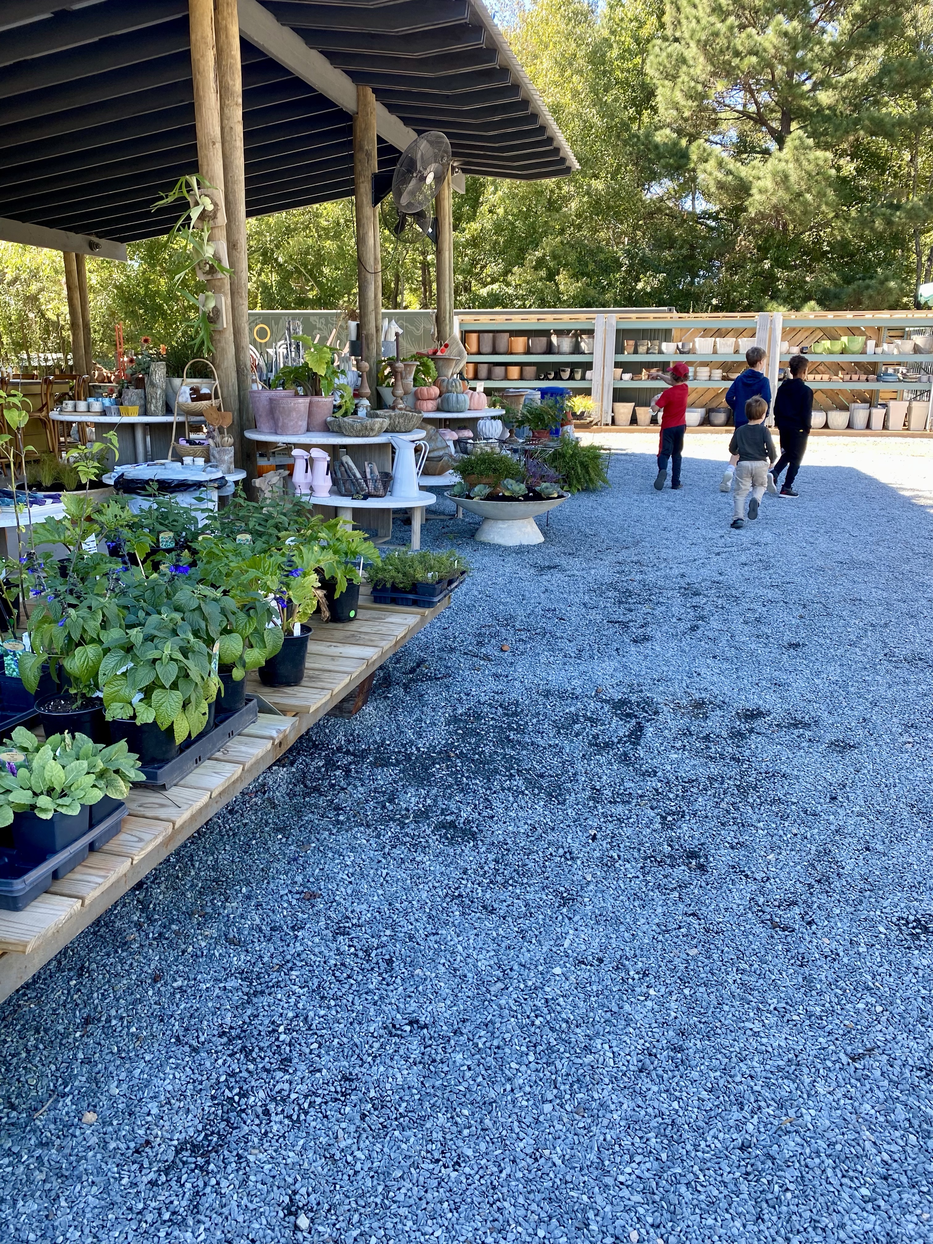
Day 2: Exploring the Neighborhood, Hot Yoga & A Private Oasis

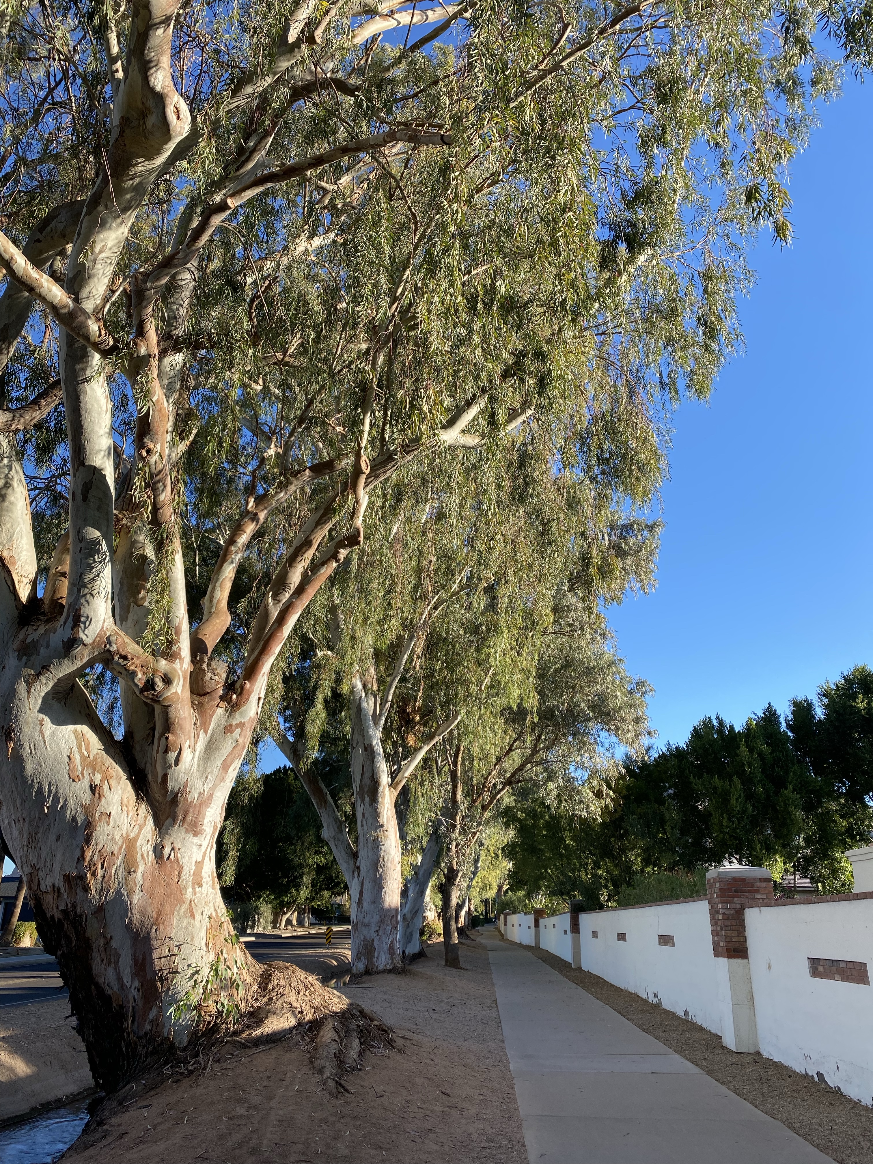
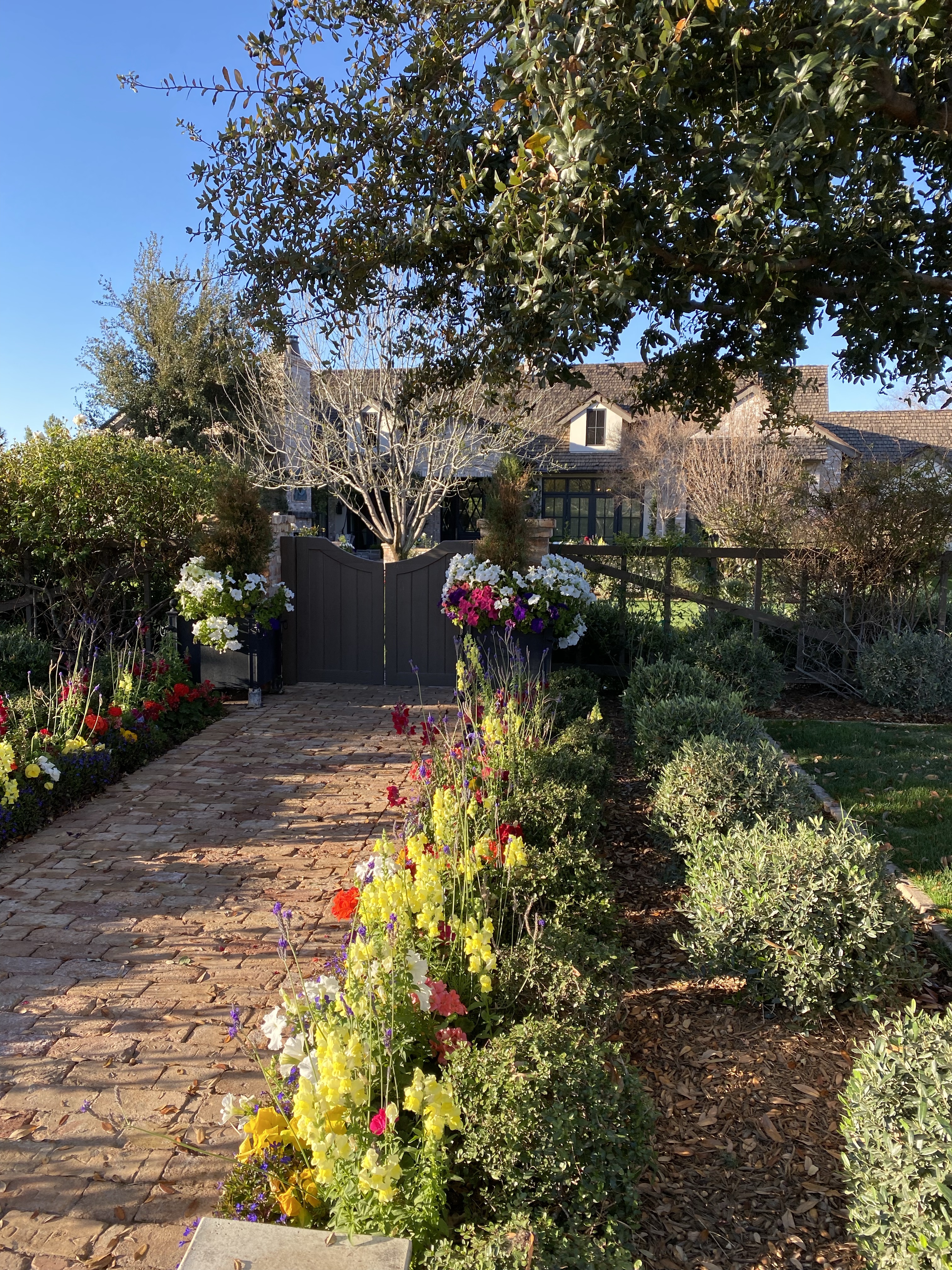
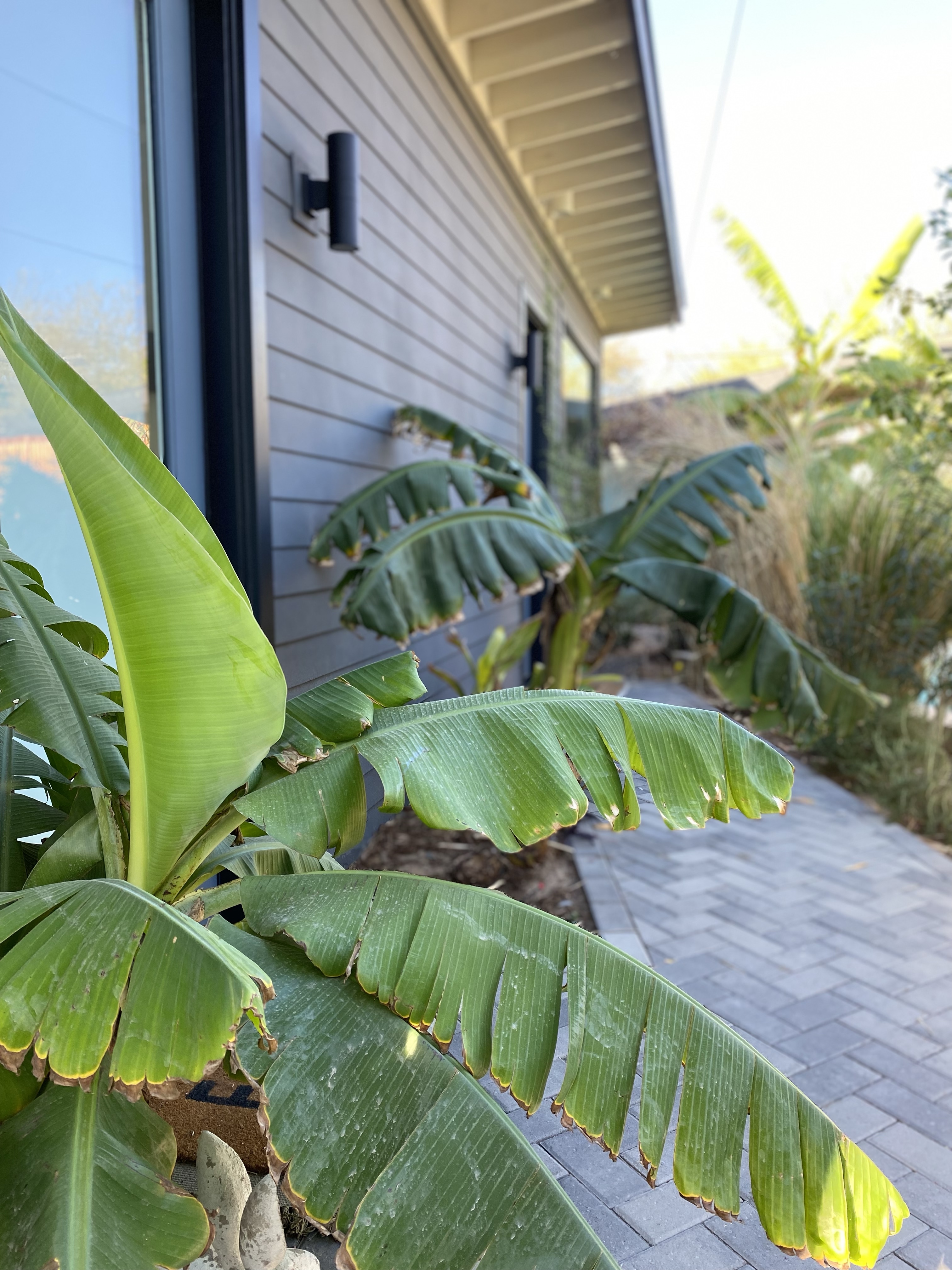
I signed up for unlimited yoga at a nearby studio, which offered a variety of hot yoga classes. Before class each time I laced up my running shoes and went for a morning run, winding through beautiful neighborhoods with stunning mountain views. There’s something so peaceful about running in a new place, letting the scenery unfold, and viewing the achitecture and landscaping as you go.

Hot yoga was a regular practice of mine when we lived in Wilmington, NC and recently I reincorporated it back thanks to the amazing studio I found locally. Each session here in Arizona felt like a reset—sweating out tension, deep stretching, and grounding myself in the present. There was also something so freeing about not knowing a single sole in the studio for class.

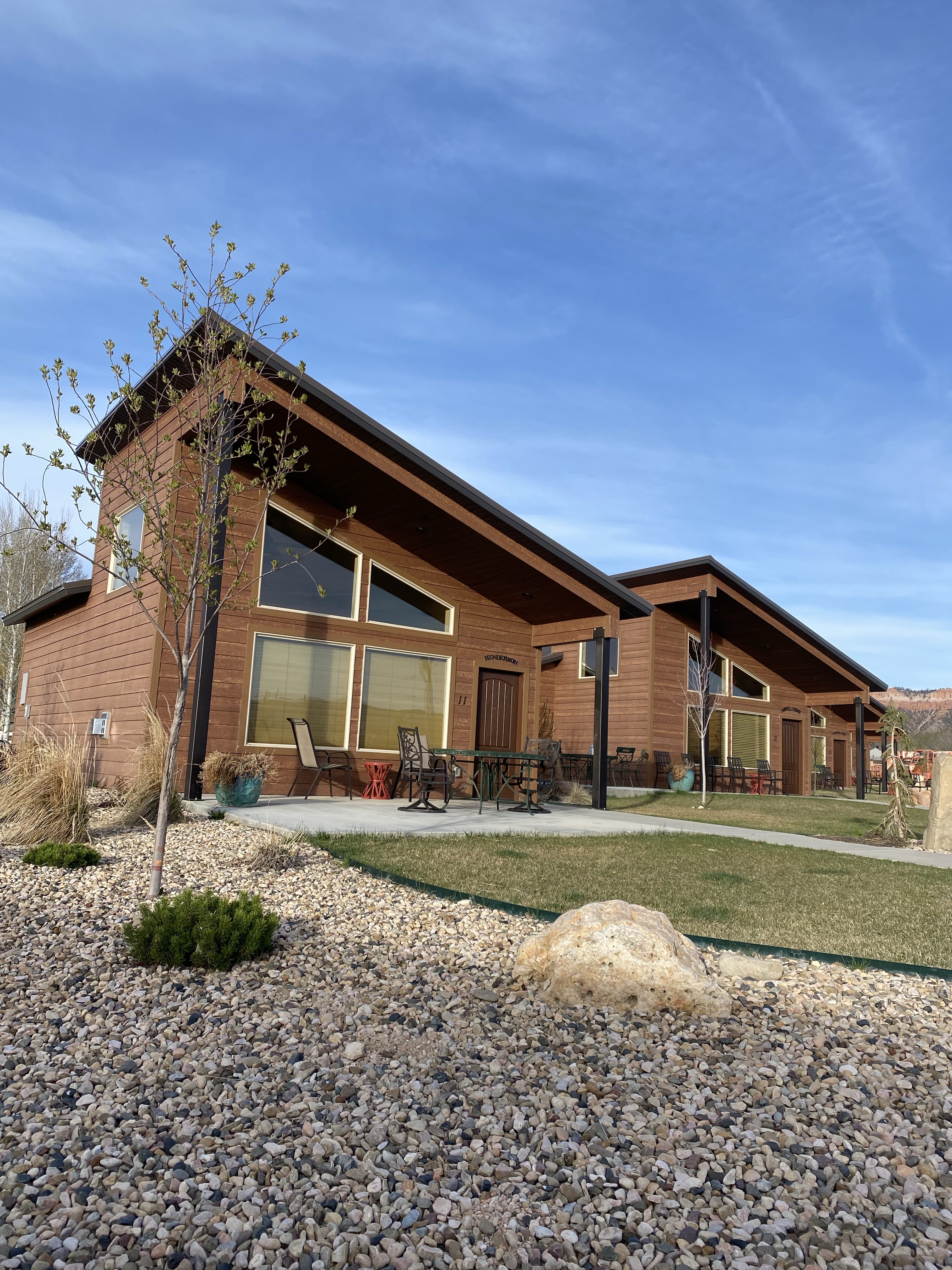
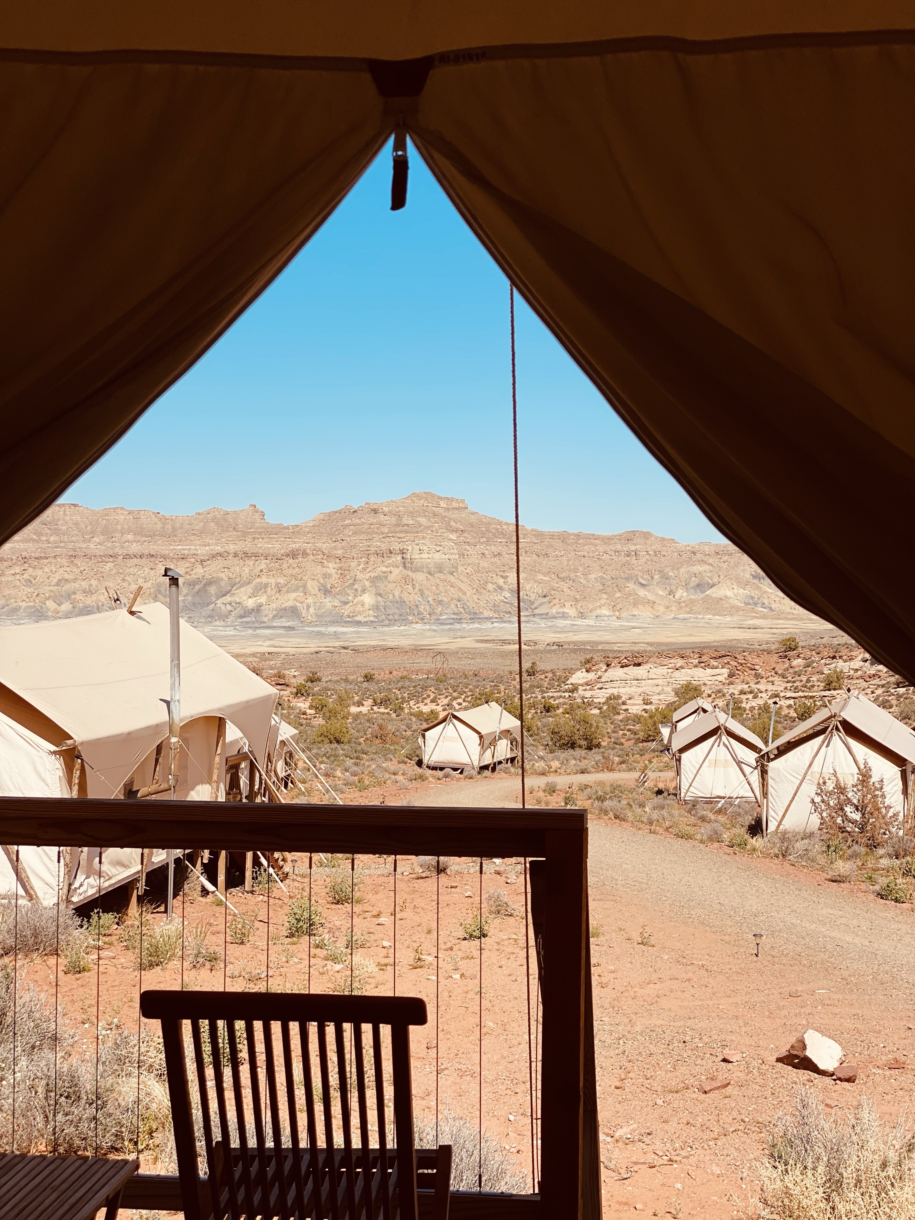
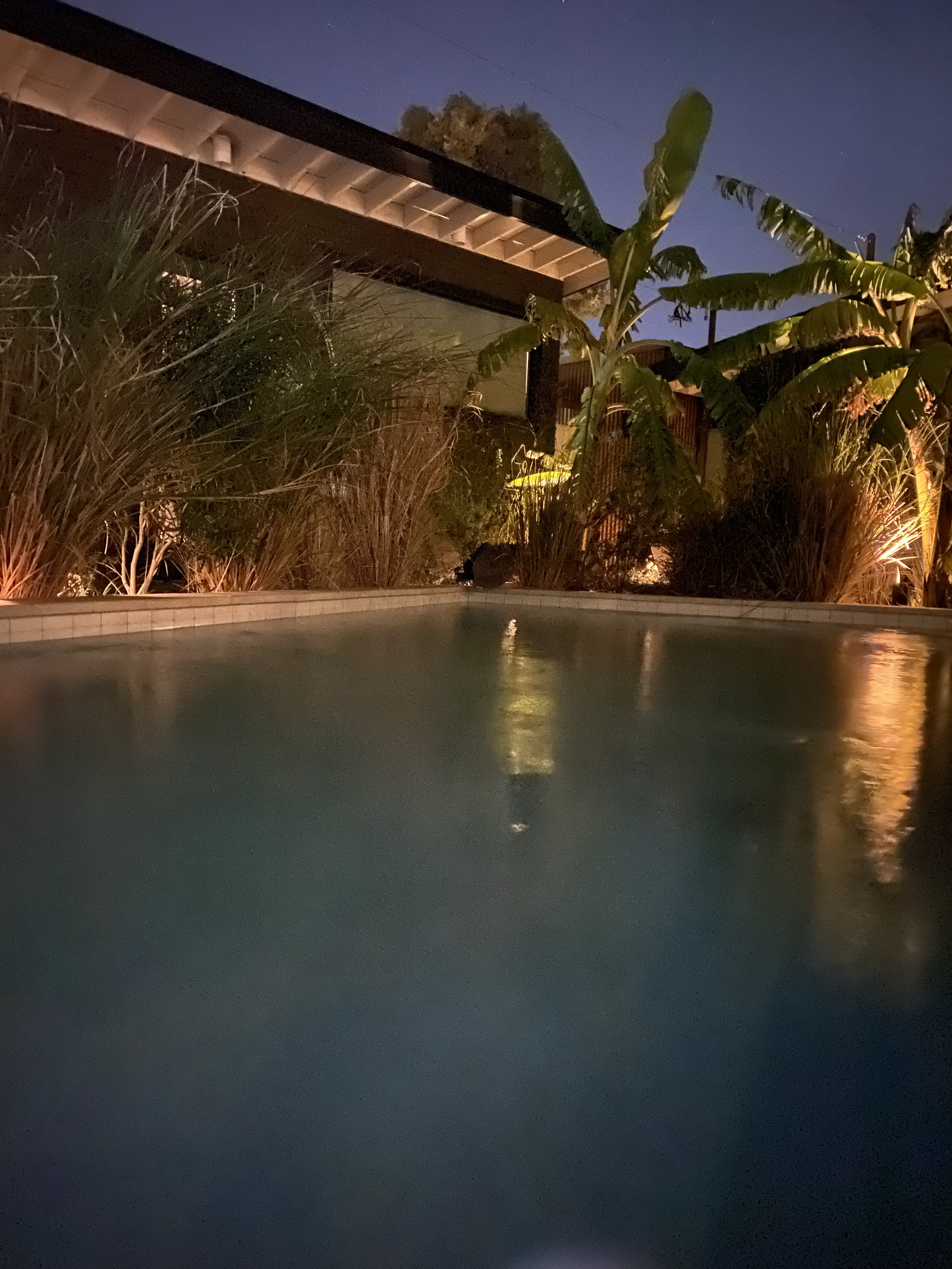
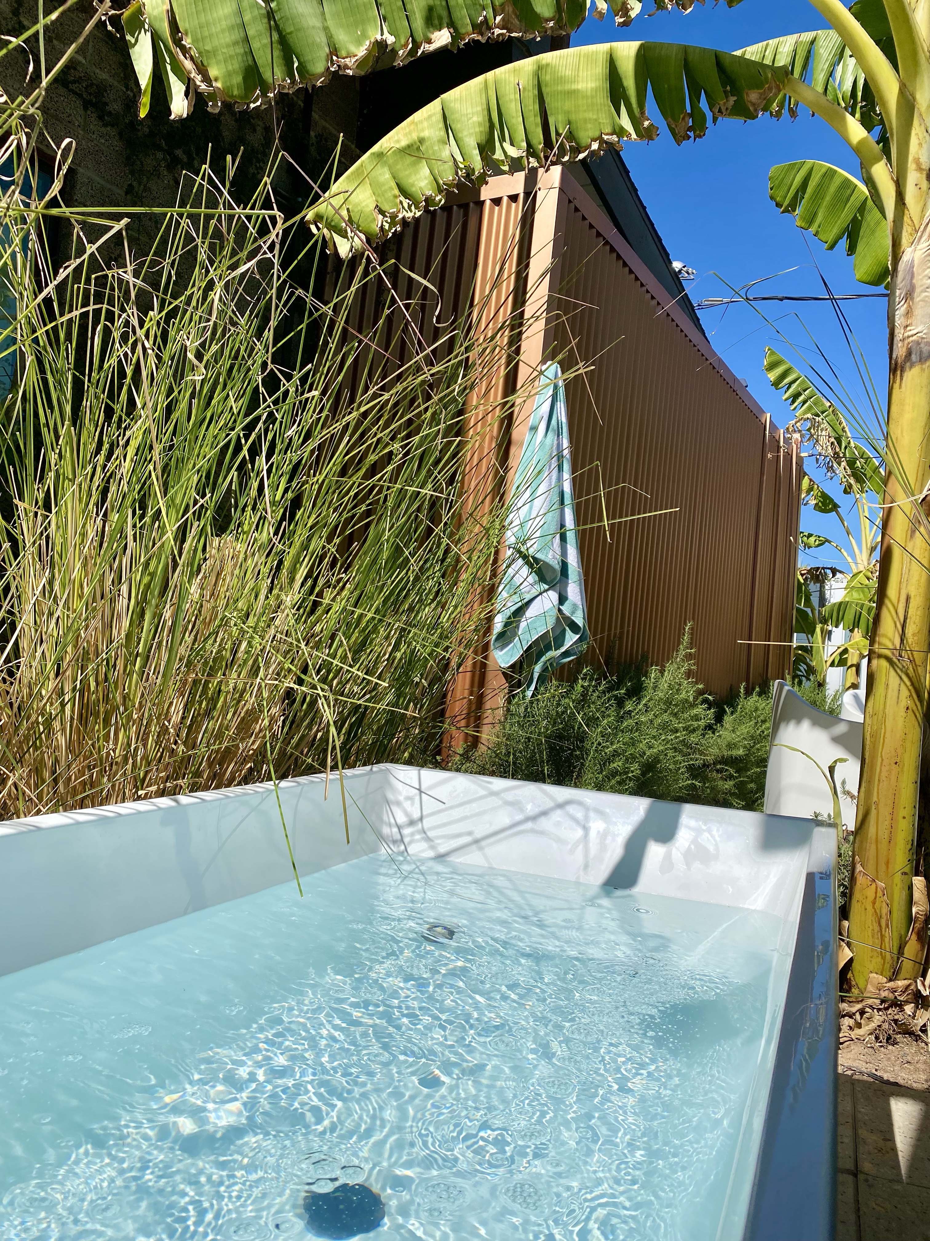
Part II of Day 2: A Private Oasis & Total Relaxation

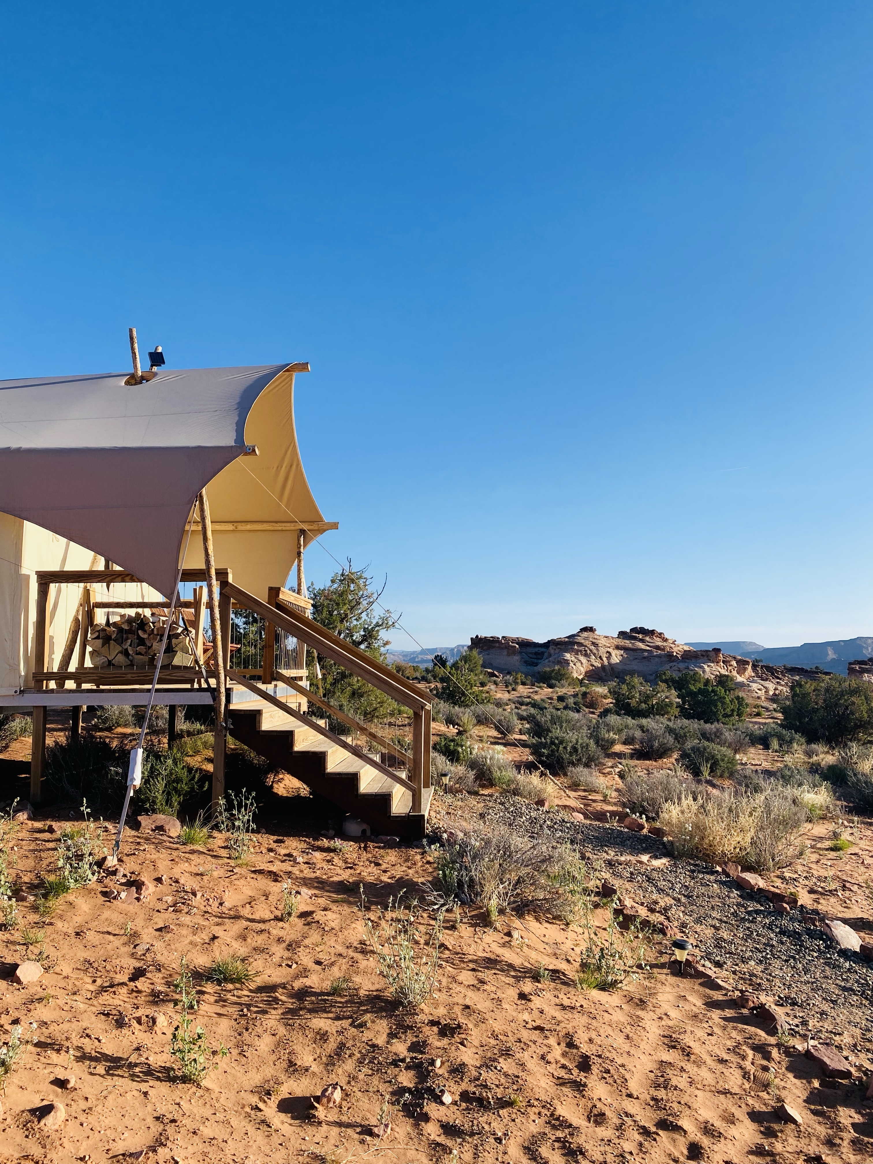
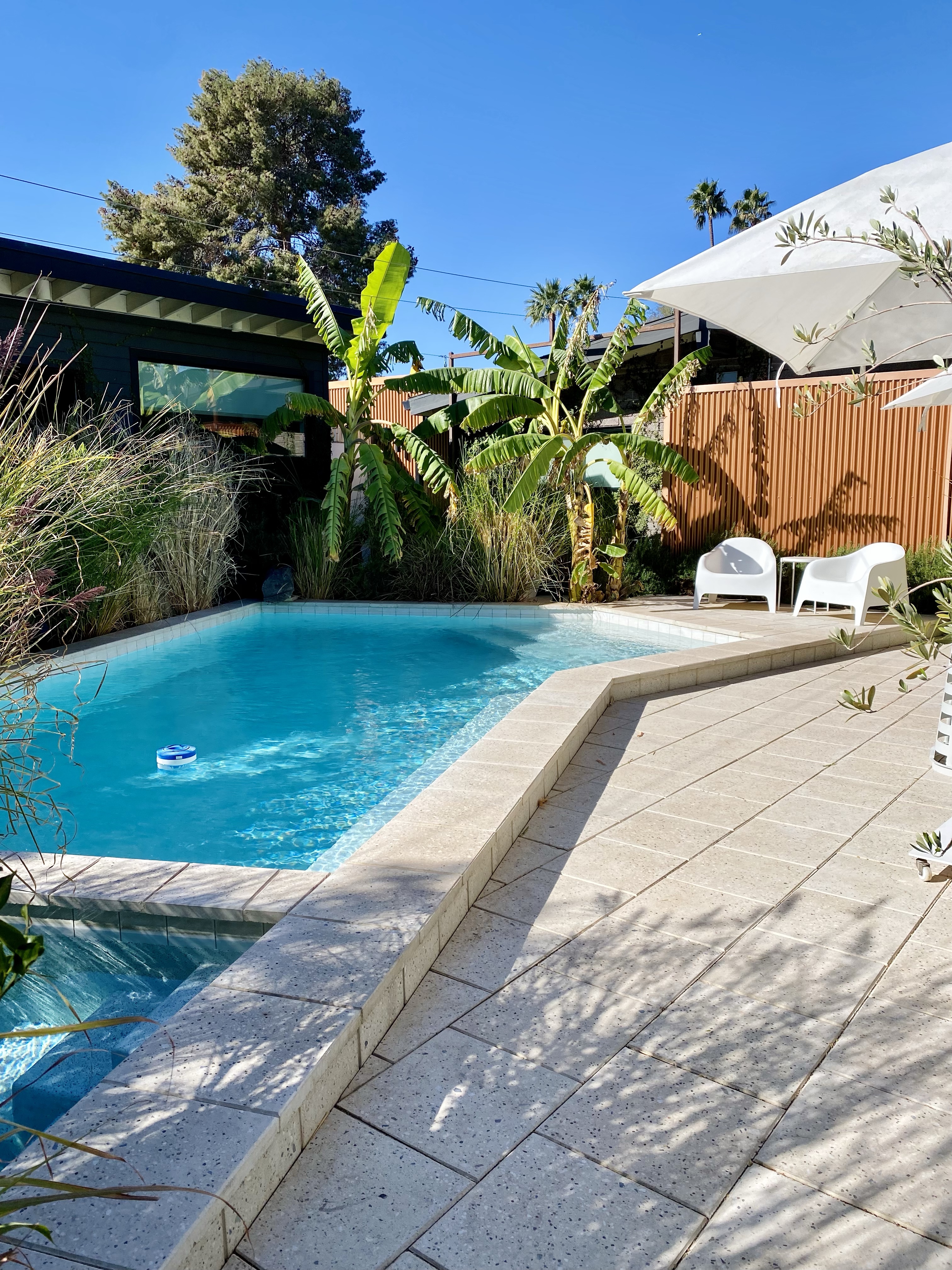
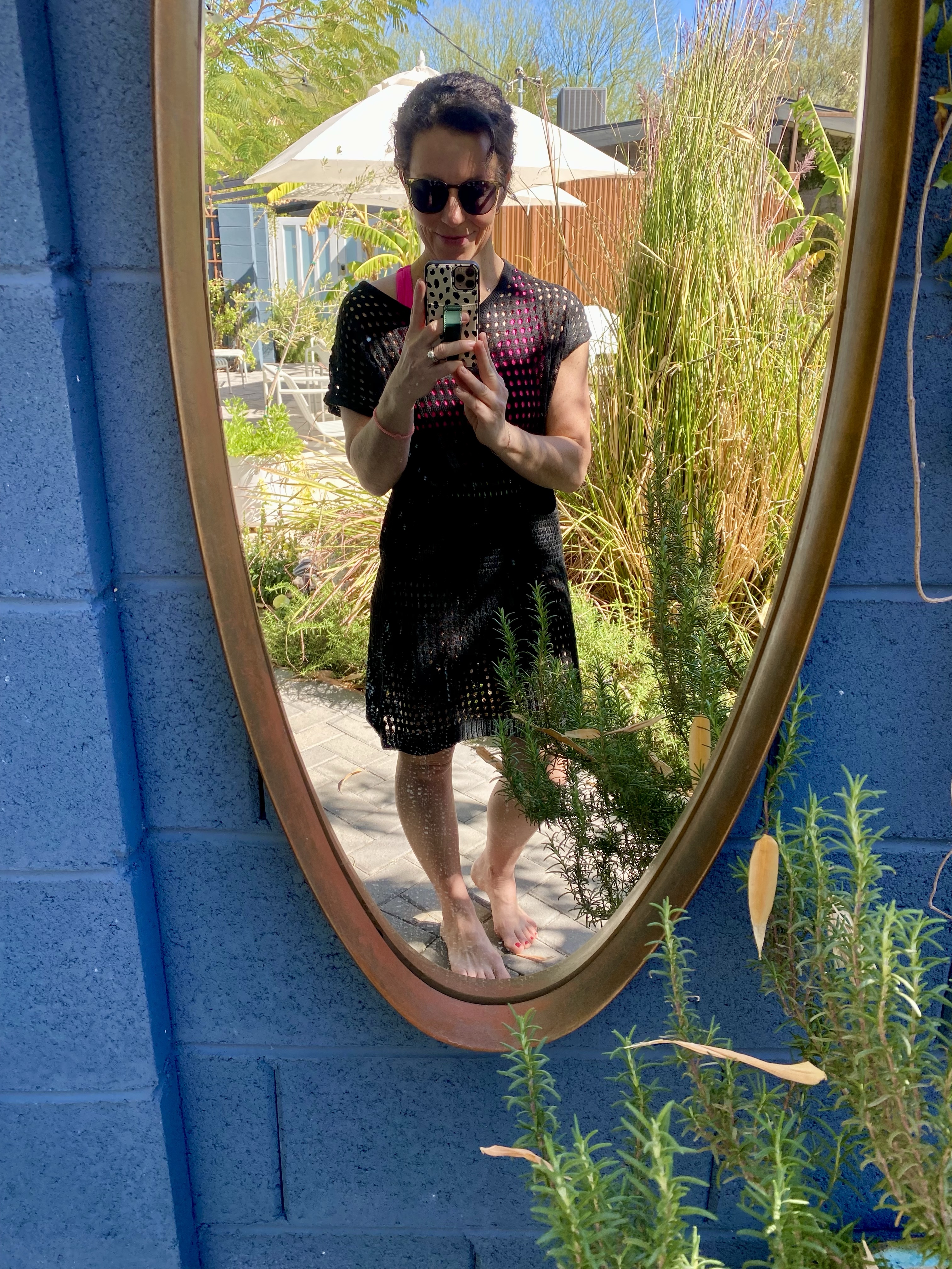
One of the highlights of this trip was my micro boutique hotel—a true oasis tucked away from the busyness of the city. With a pool, hot tub, fire pit, and even a cold plunge, it felt like a spa retreat all on its own. I spent time simply being—reading by the water, listening to music on the Bose speaker they provided, taking refreshing dips, and soaking up the Arizona sun. It was a reminder that rest is just as important as movement, and this space gave me the perfect environment to fully unwind.

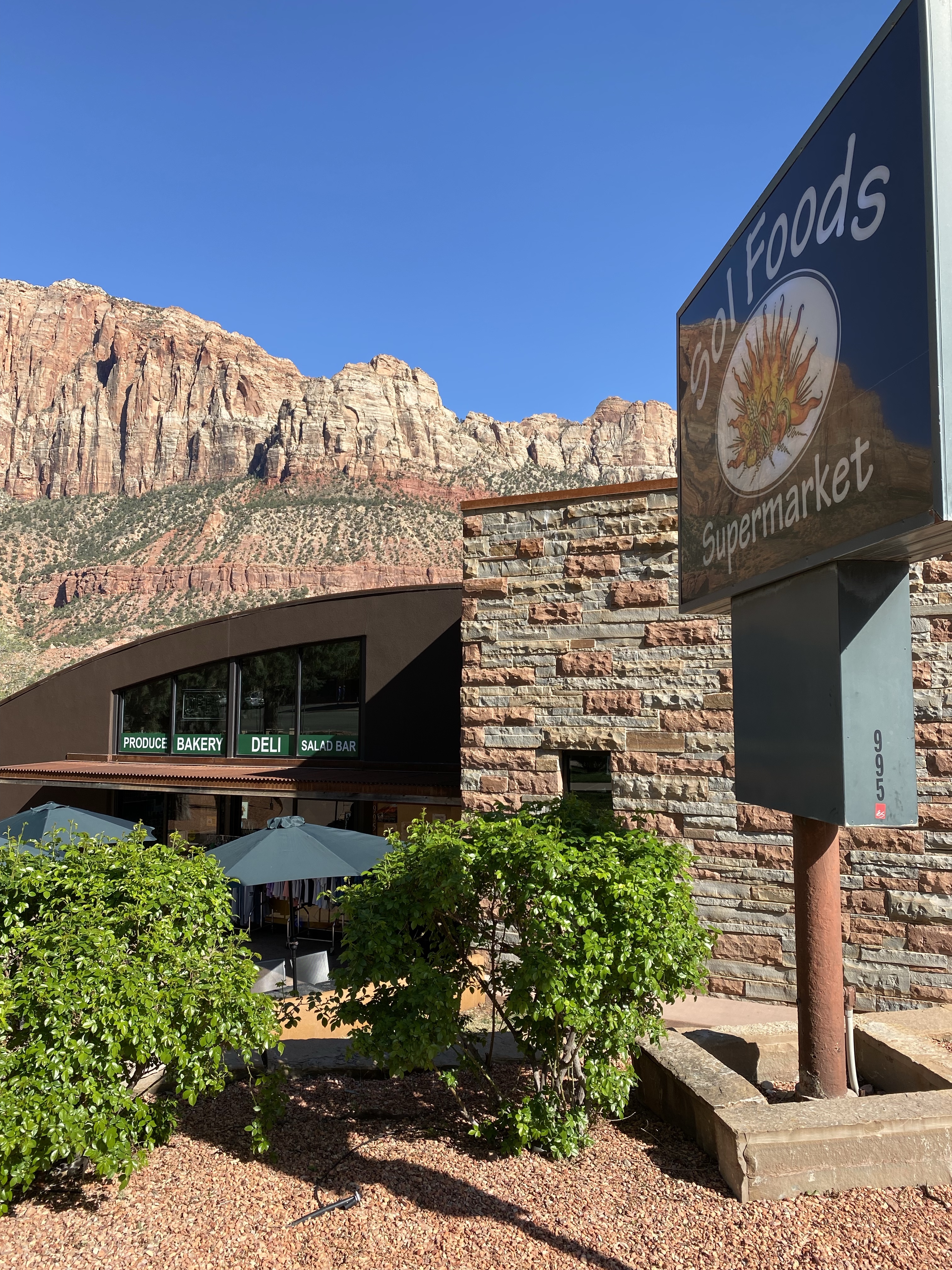
After my time by the pool, I went to The Henry for dinner. Adam and I had eaten here a couple years prior when we visited a few national parks and Scottsdale, AZ. We loved the ambiance of the restaurant and were blown away by the food that is prepared in their craft kitchen. They have a great happy hour menu, robust menu offerings for breakfast, lunch and dinner. They truly are the neighborhood restaurant. Just look at their website and you’ll see why we talk about it to this day.

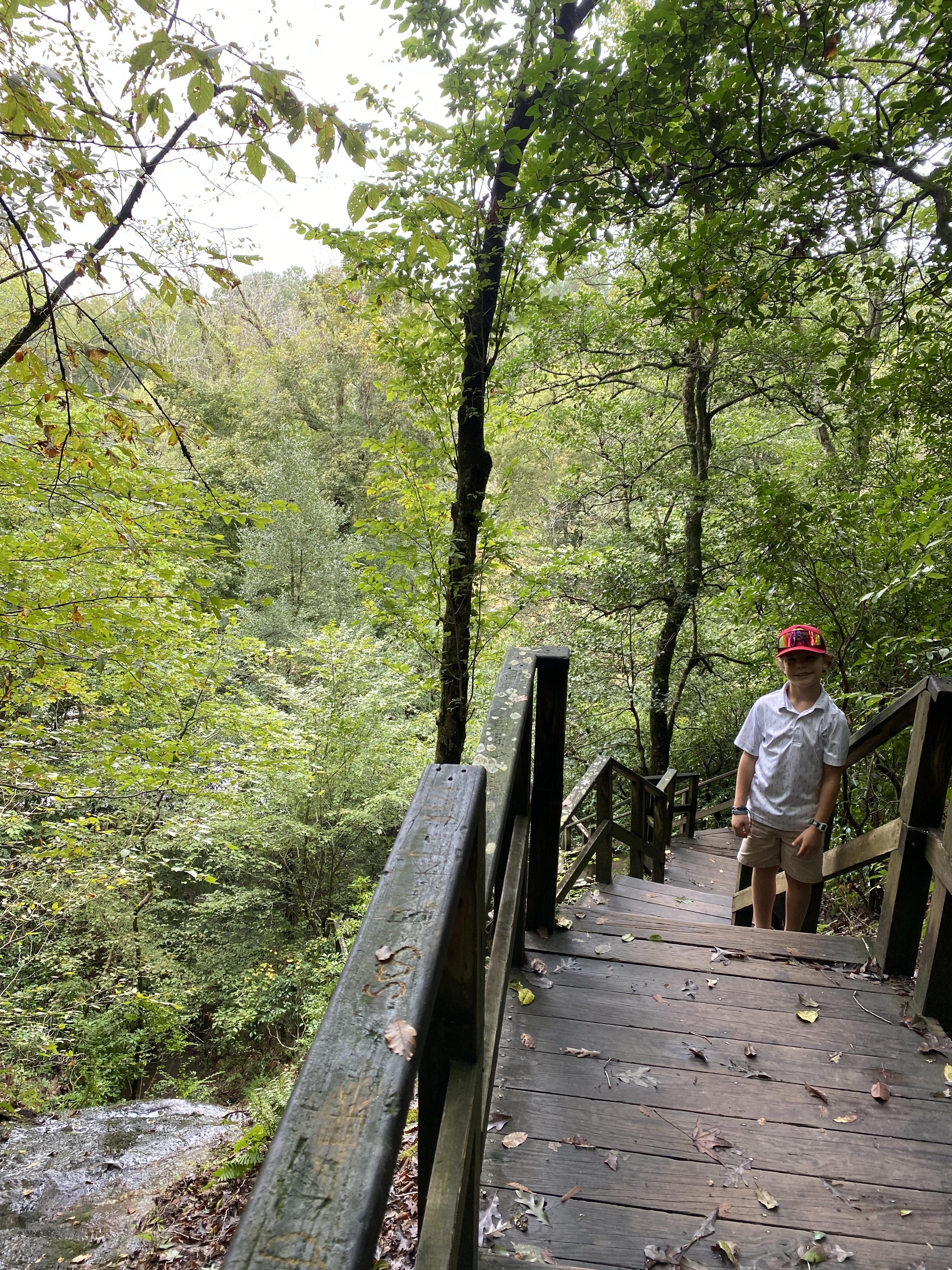
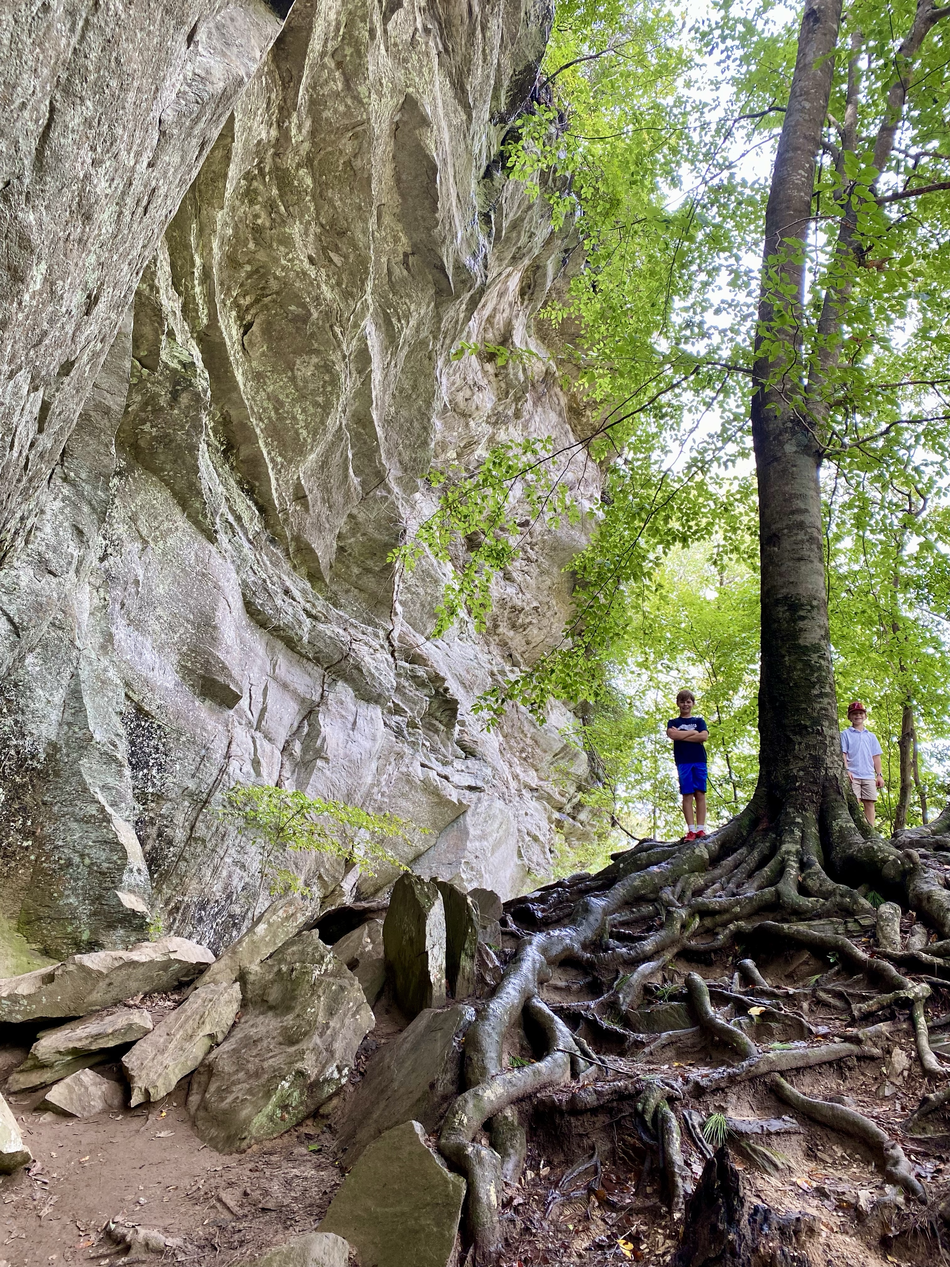
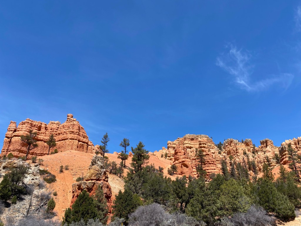
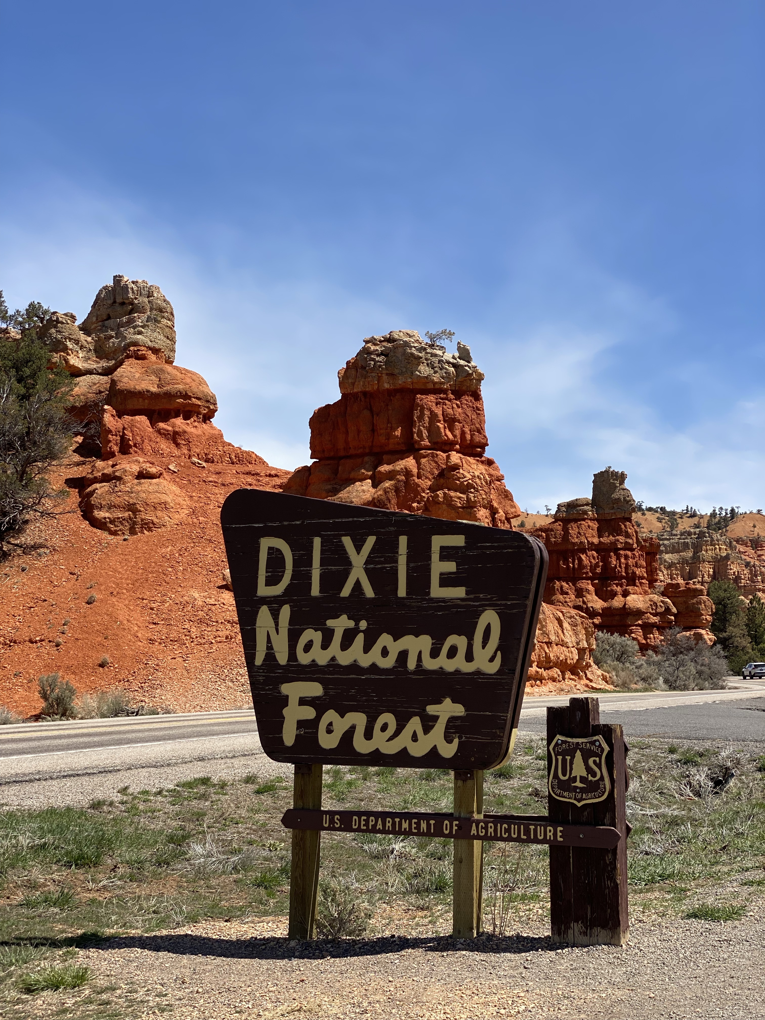
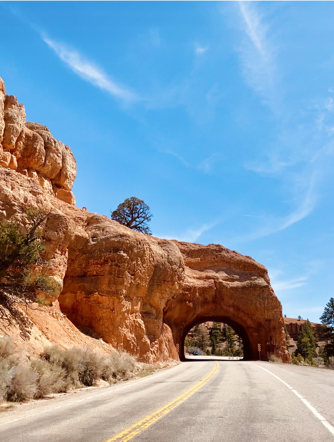
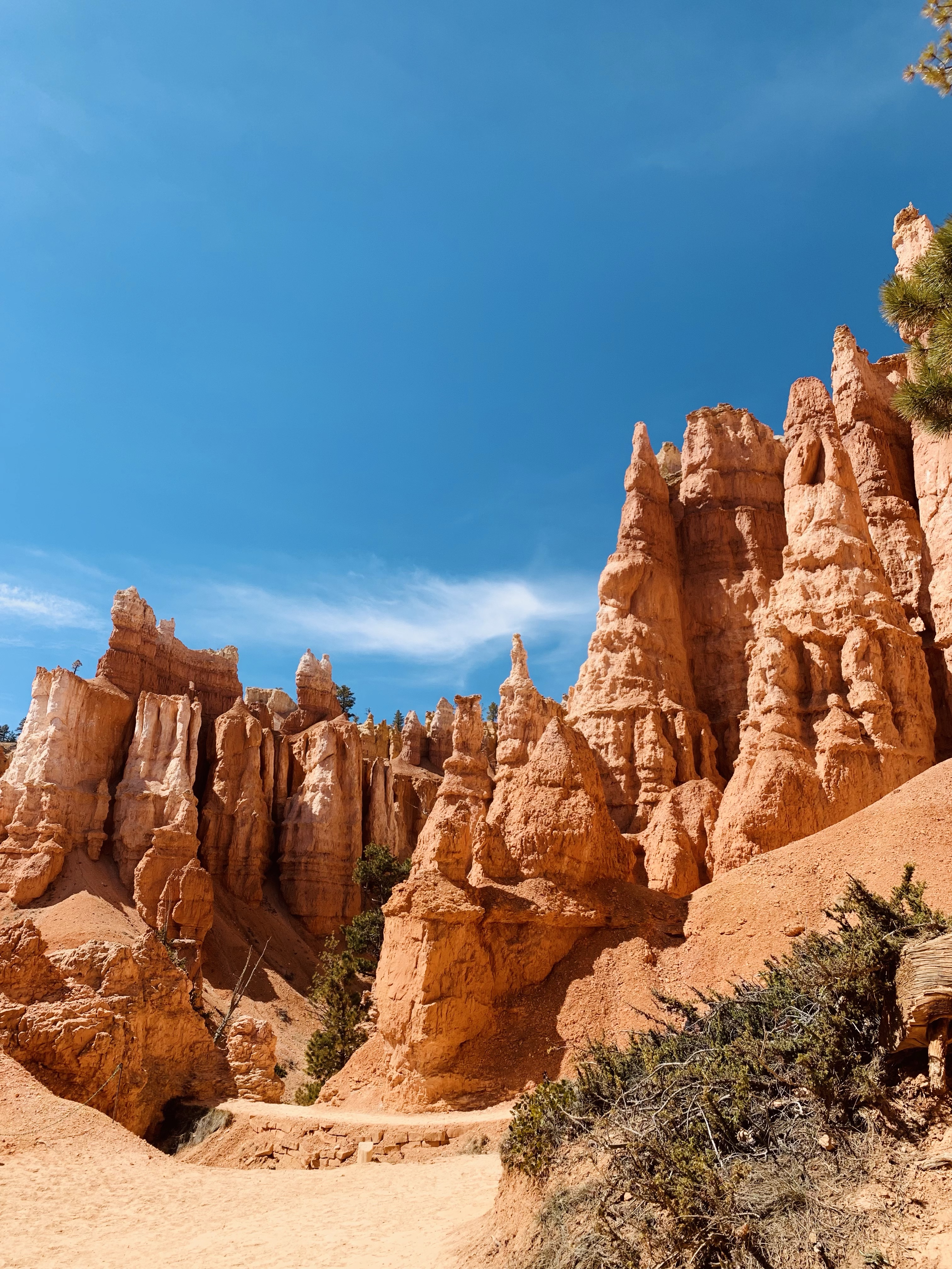
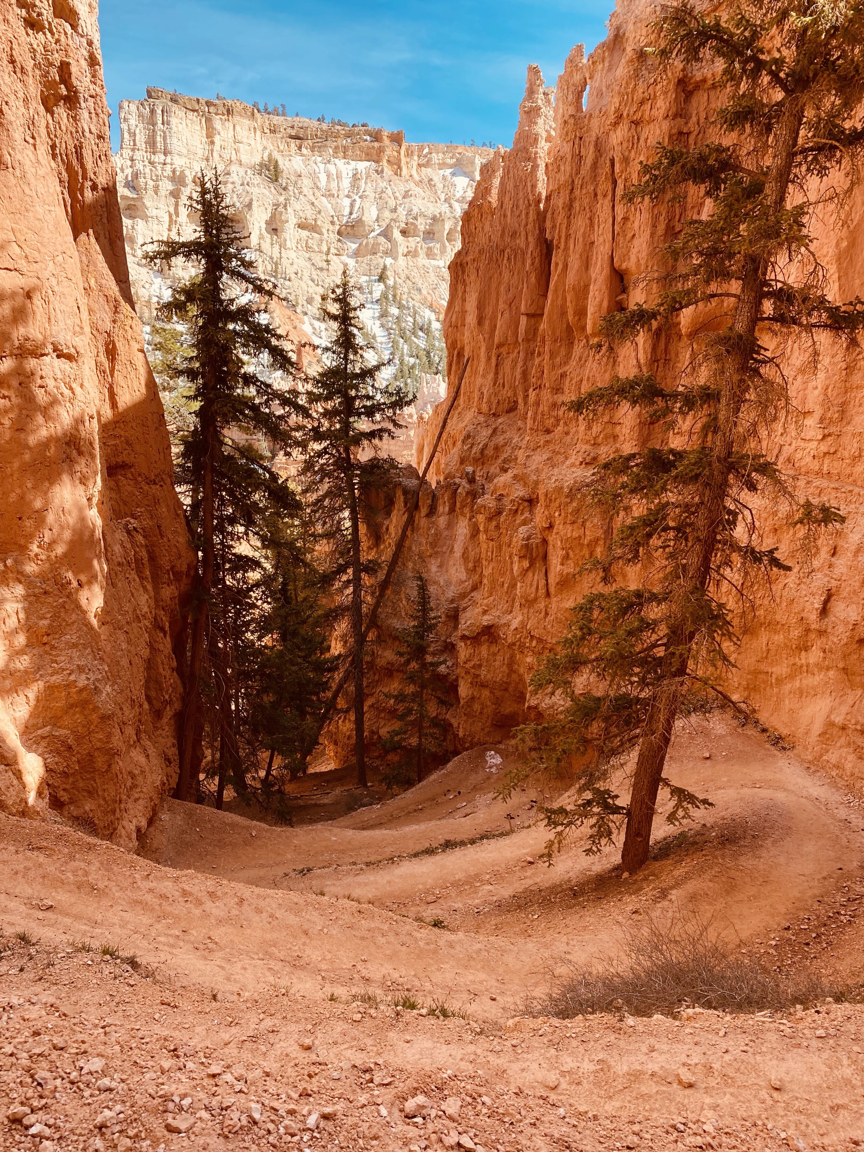
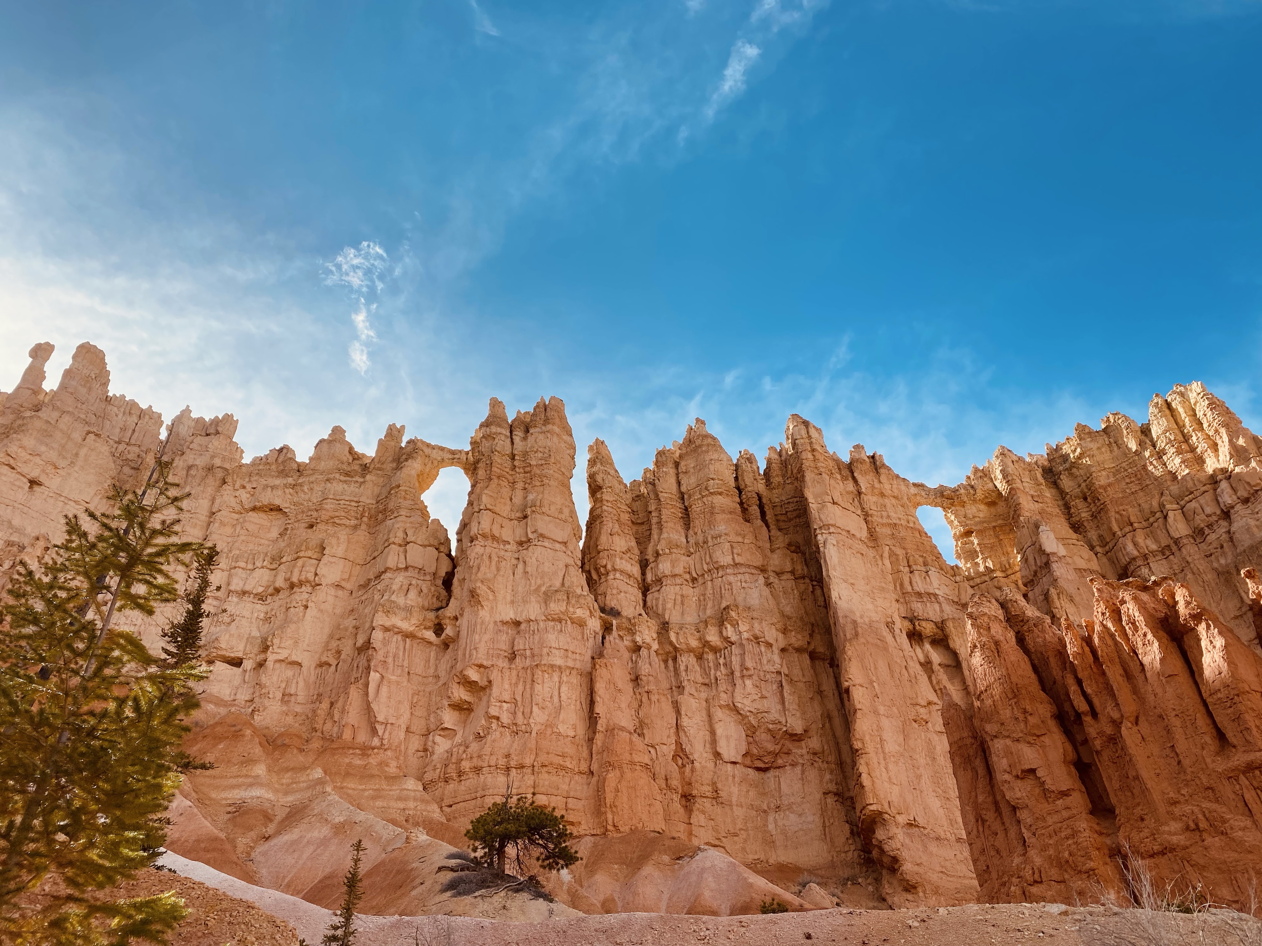
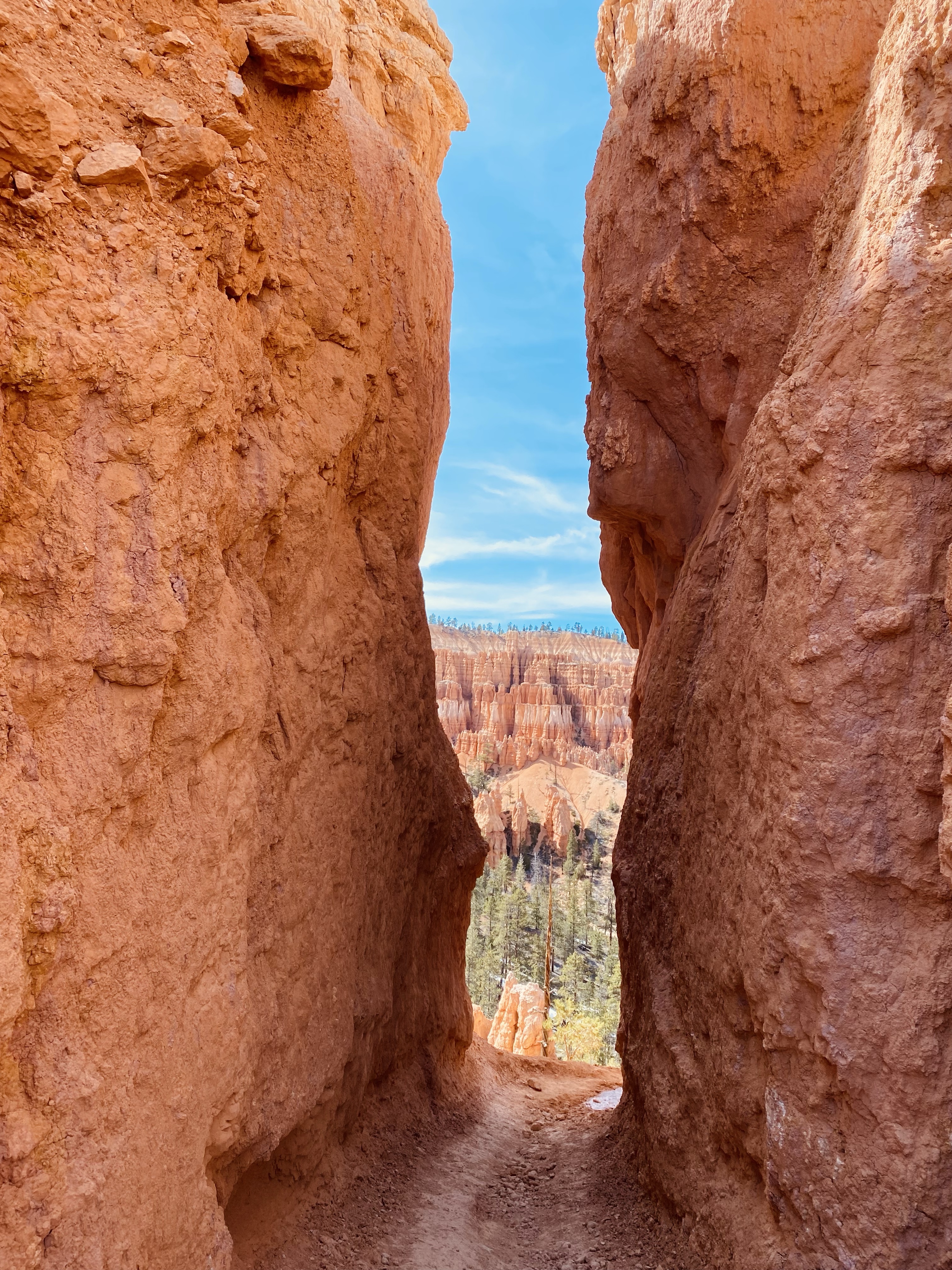
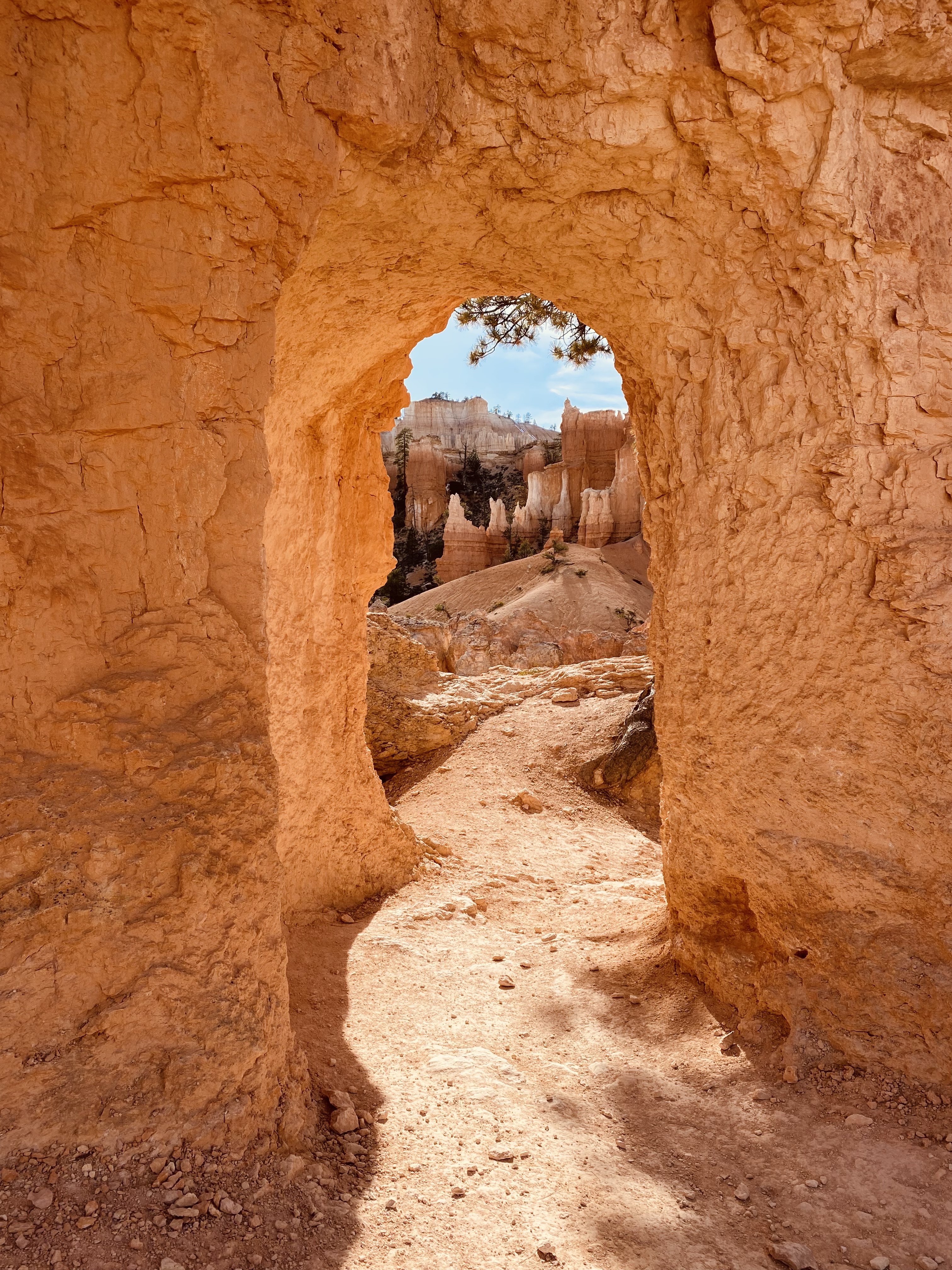
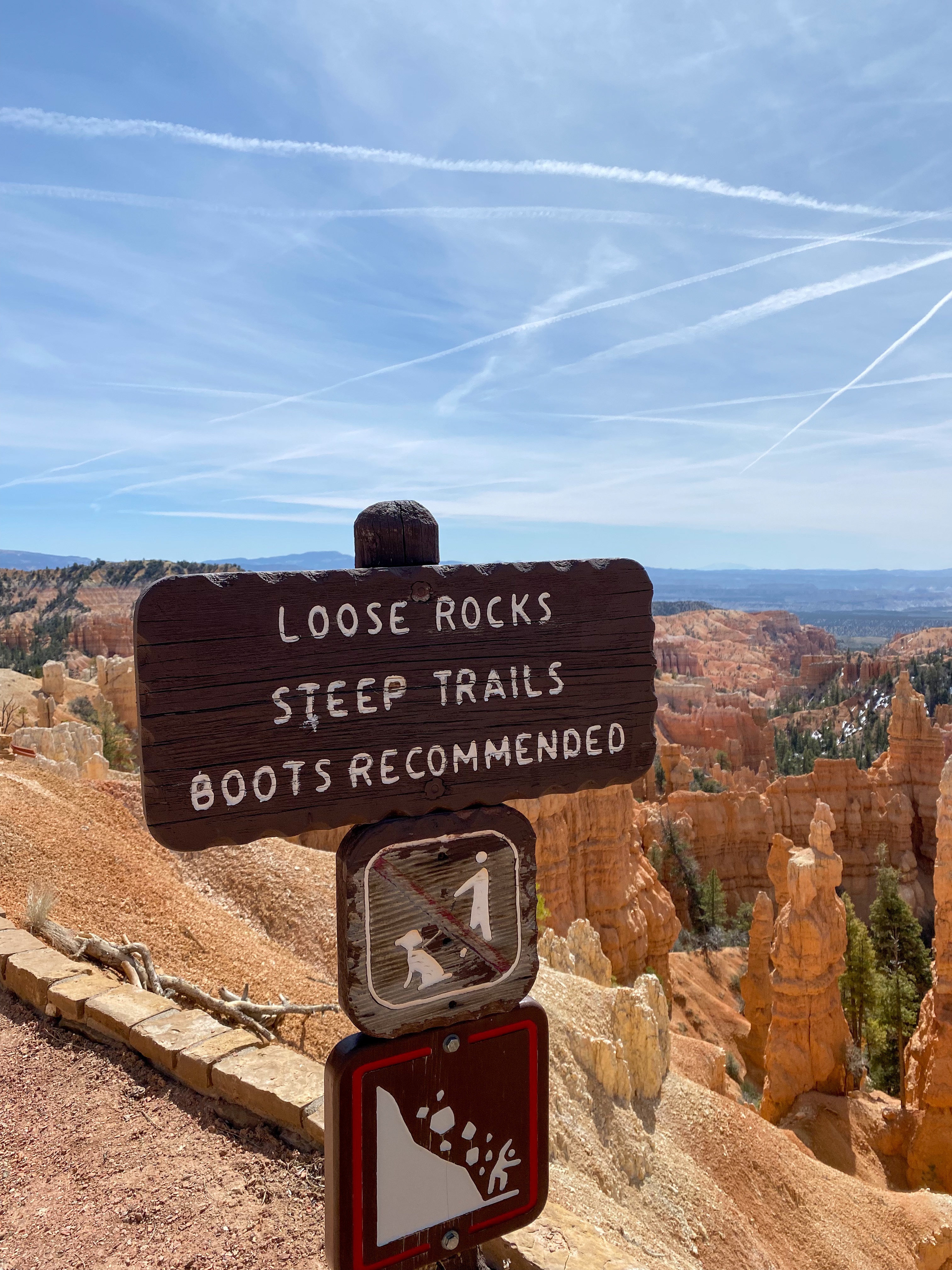
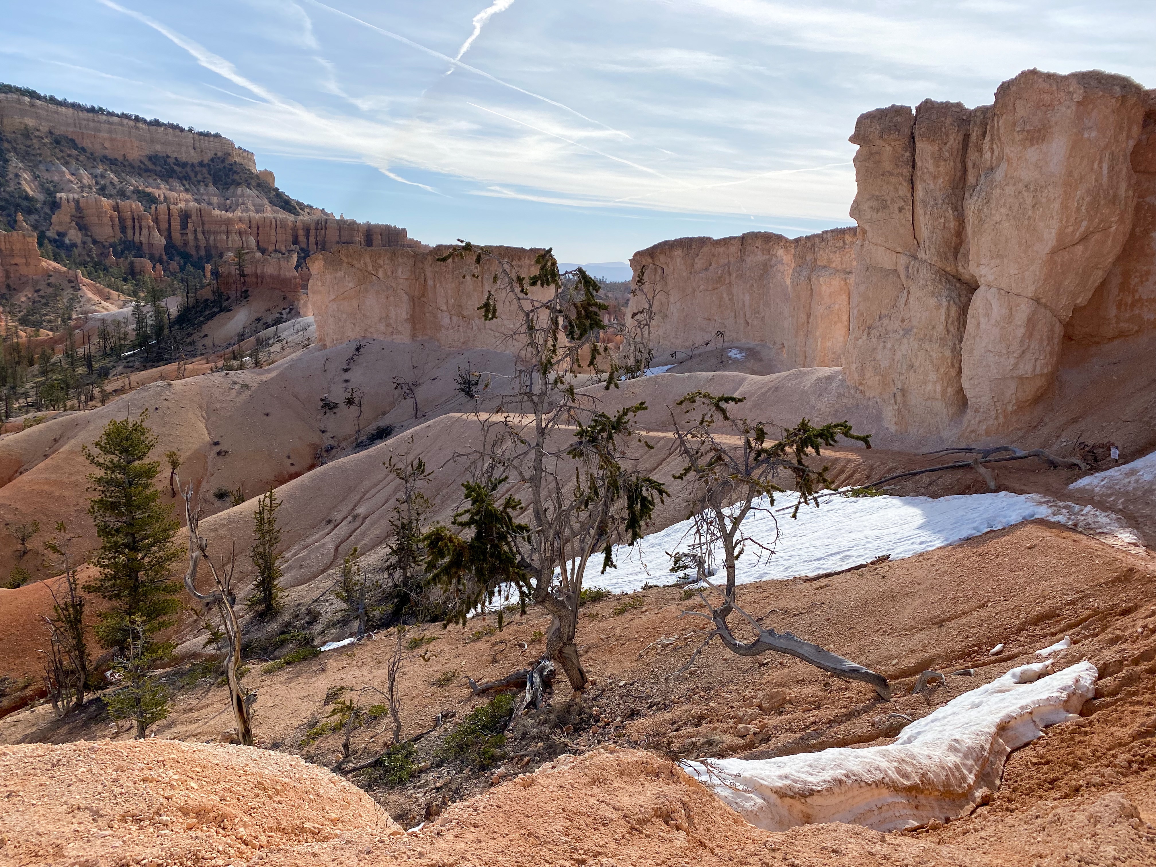
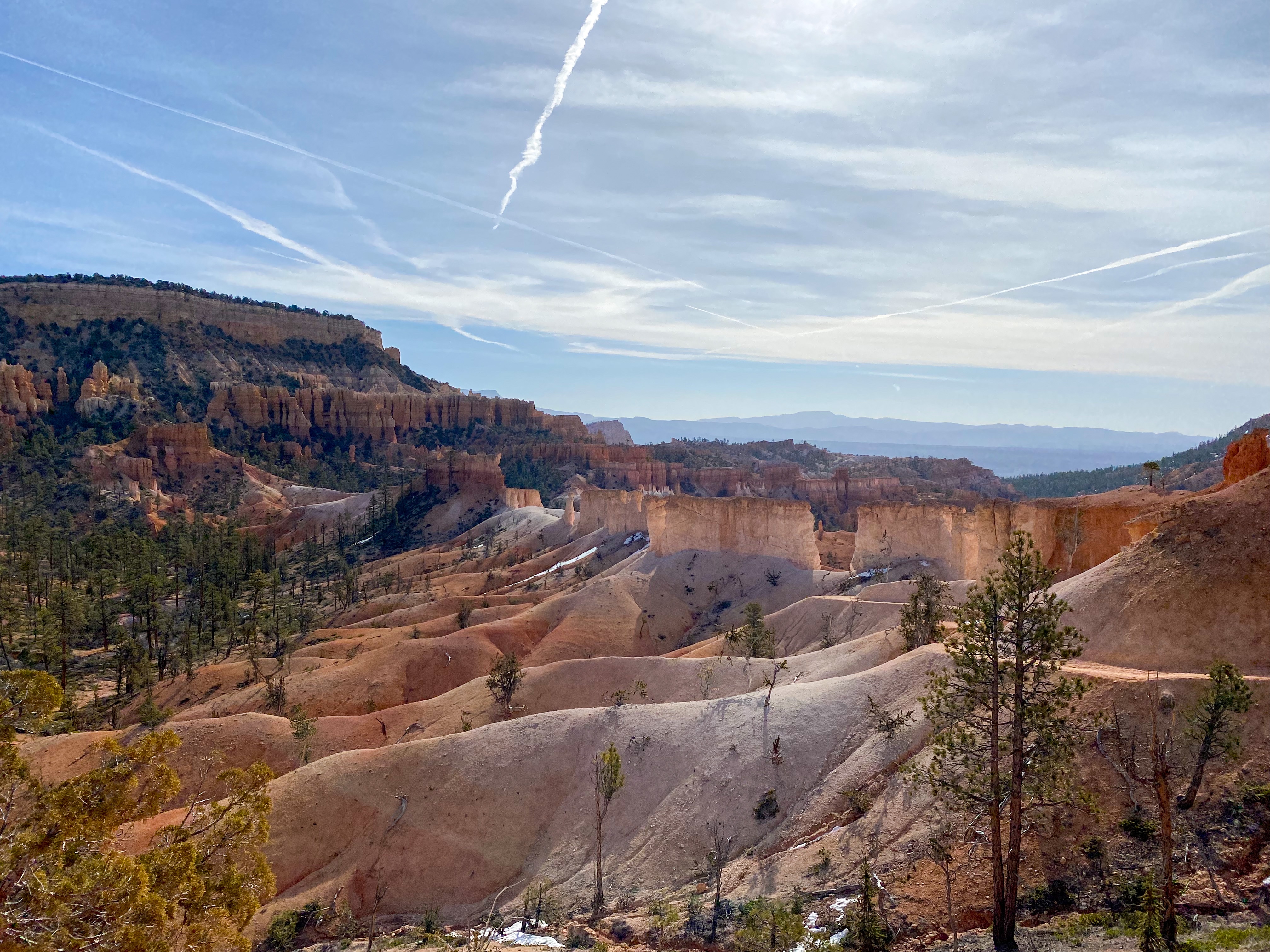
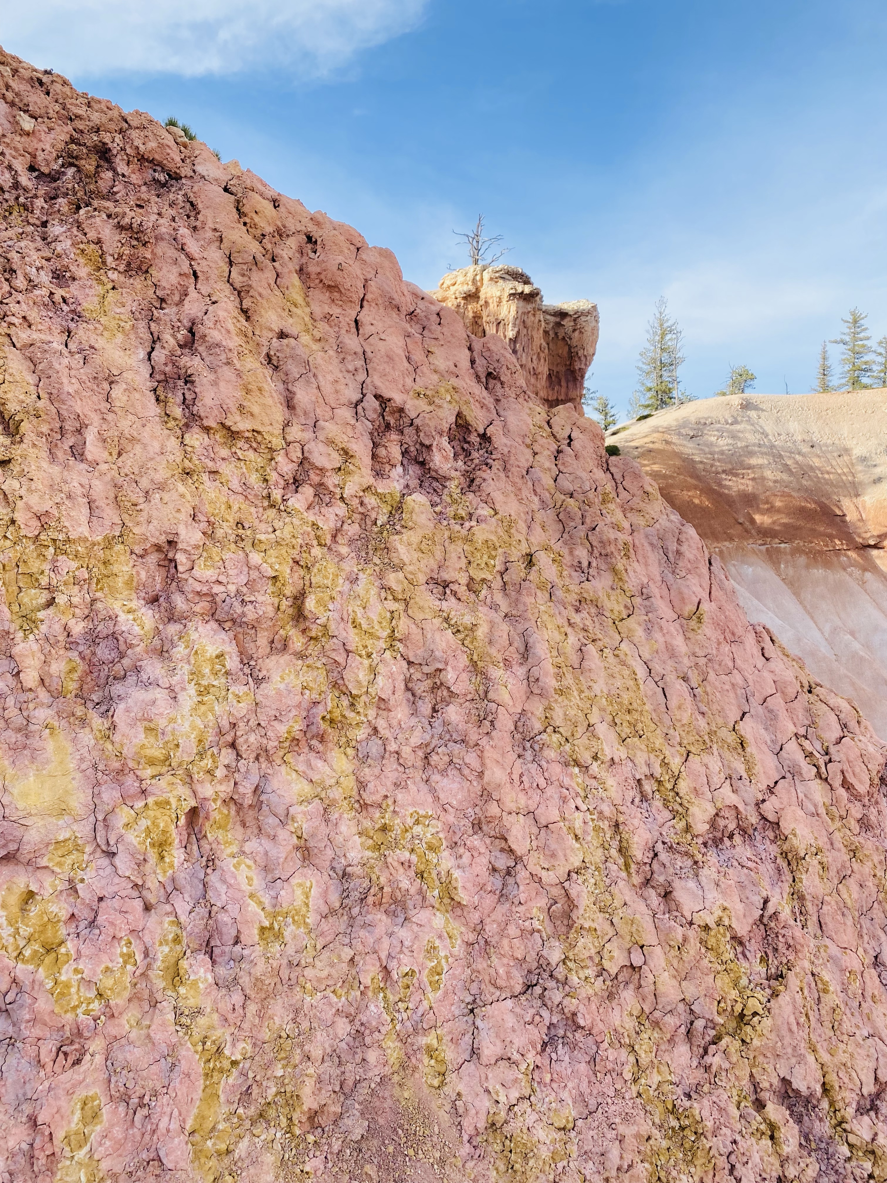
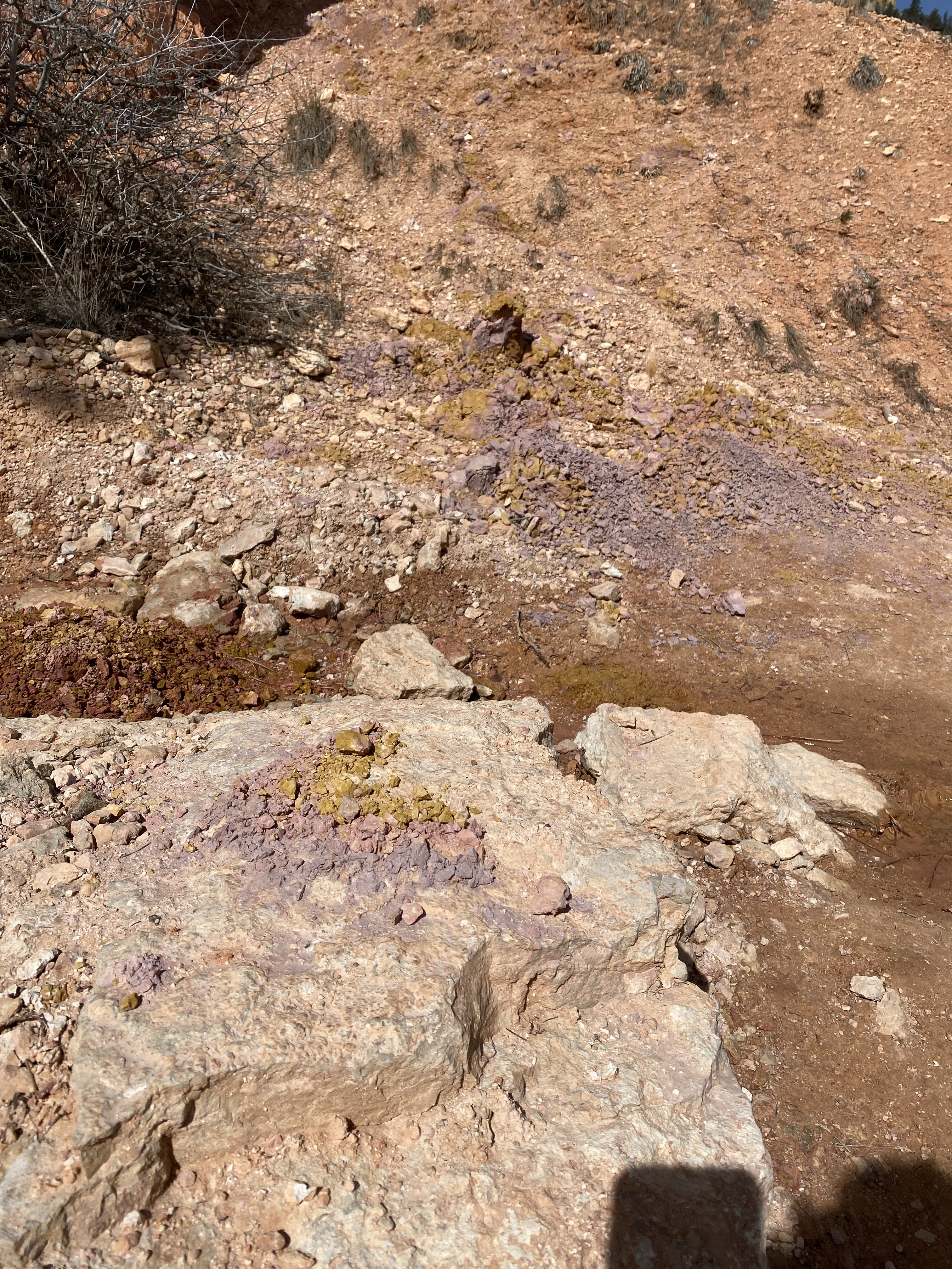
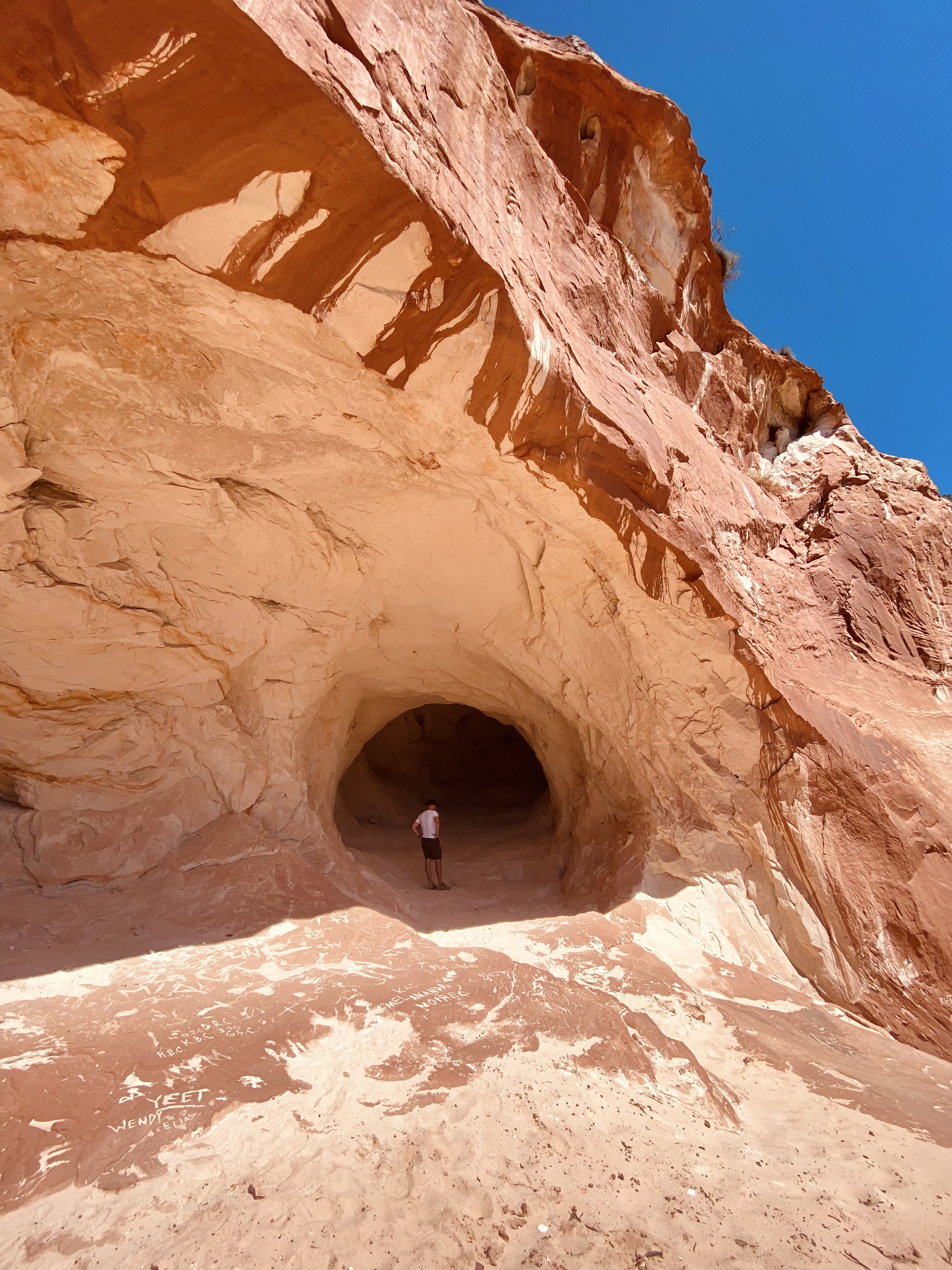
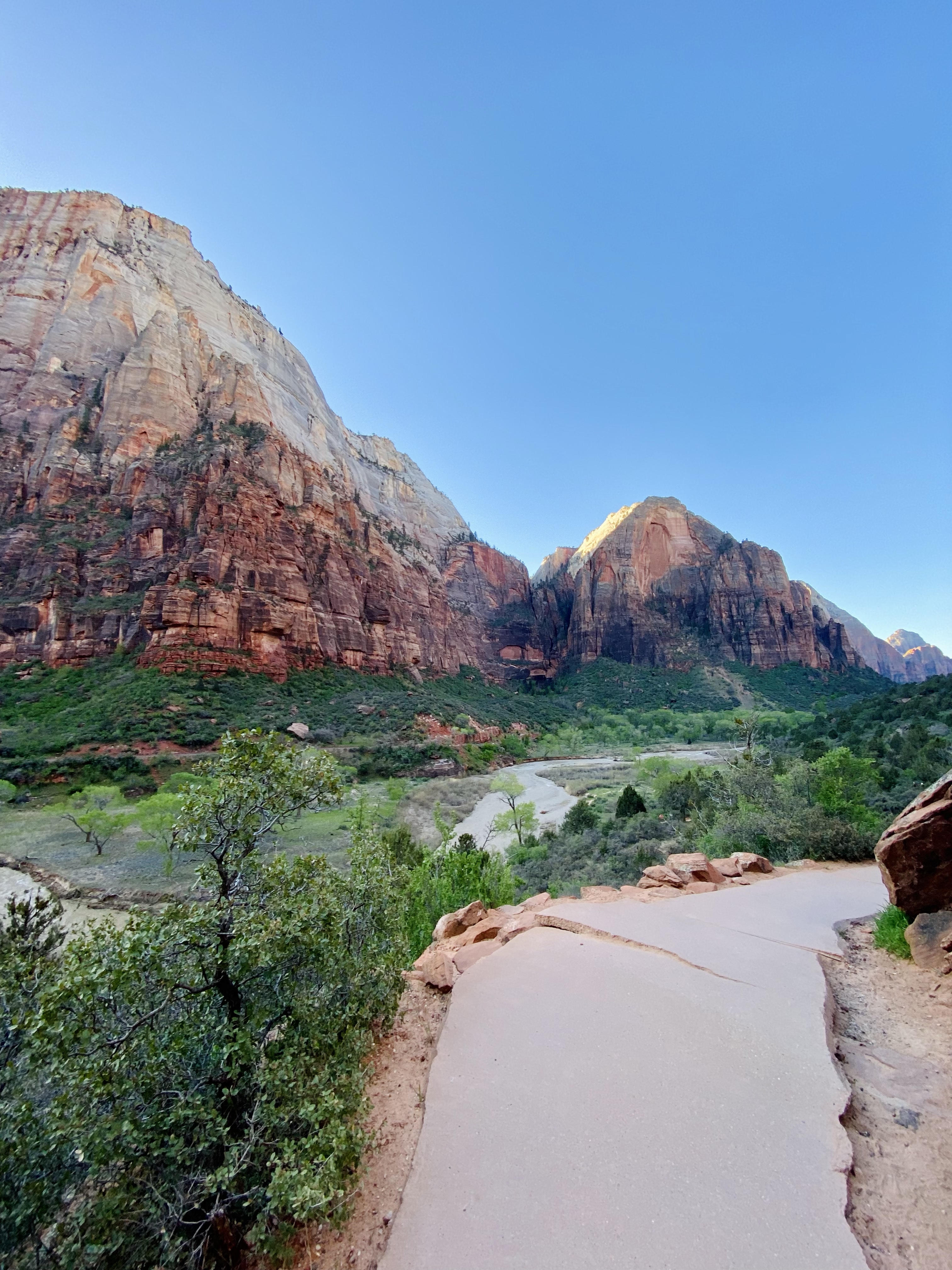
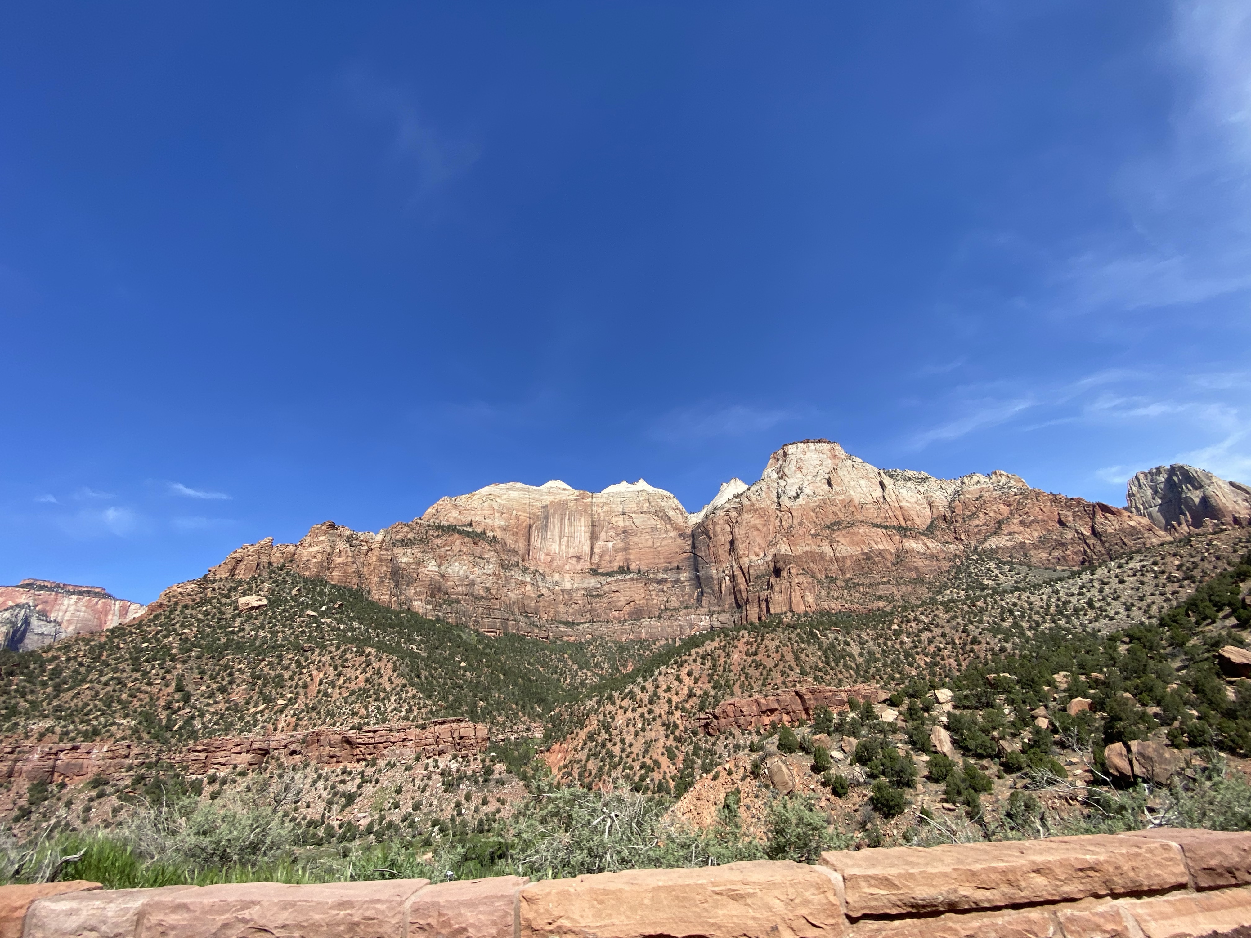
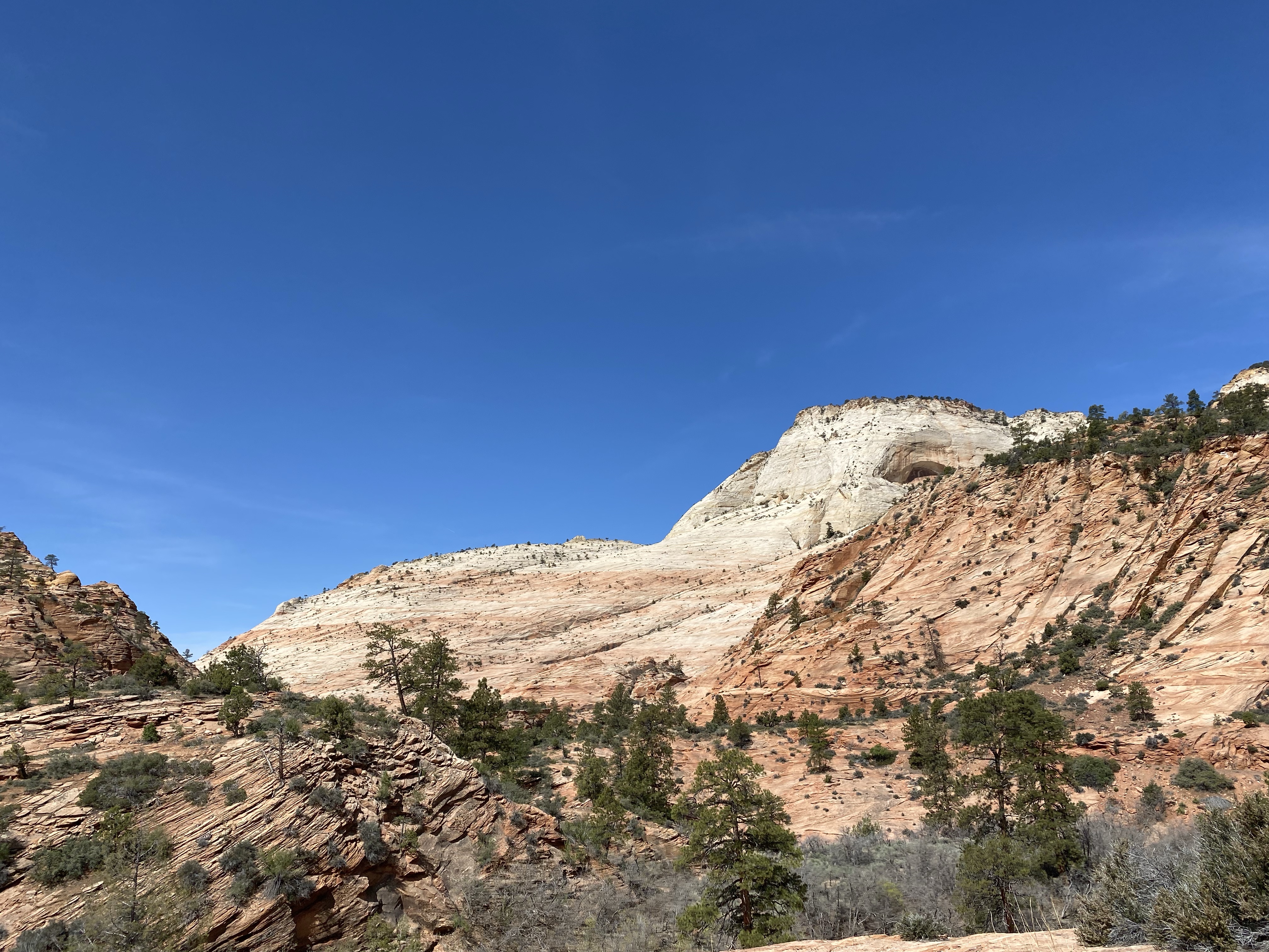
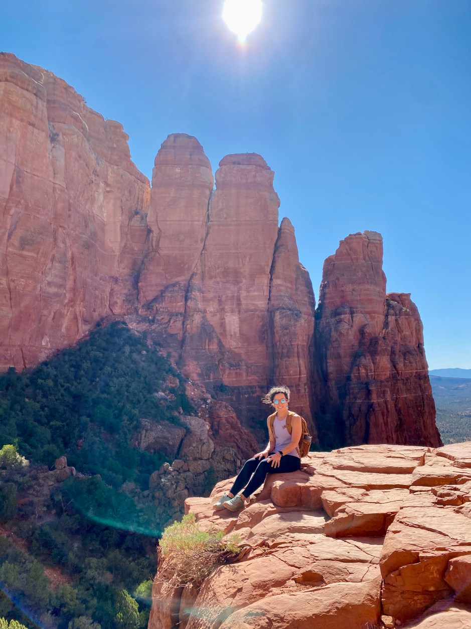
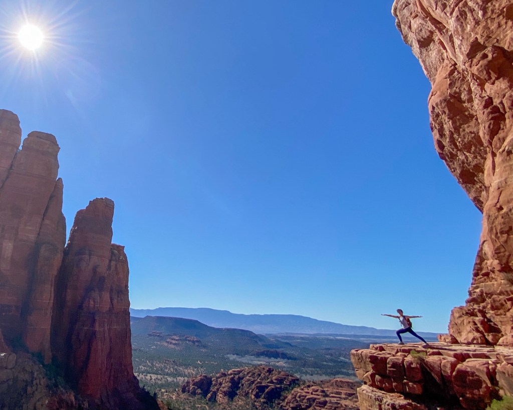
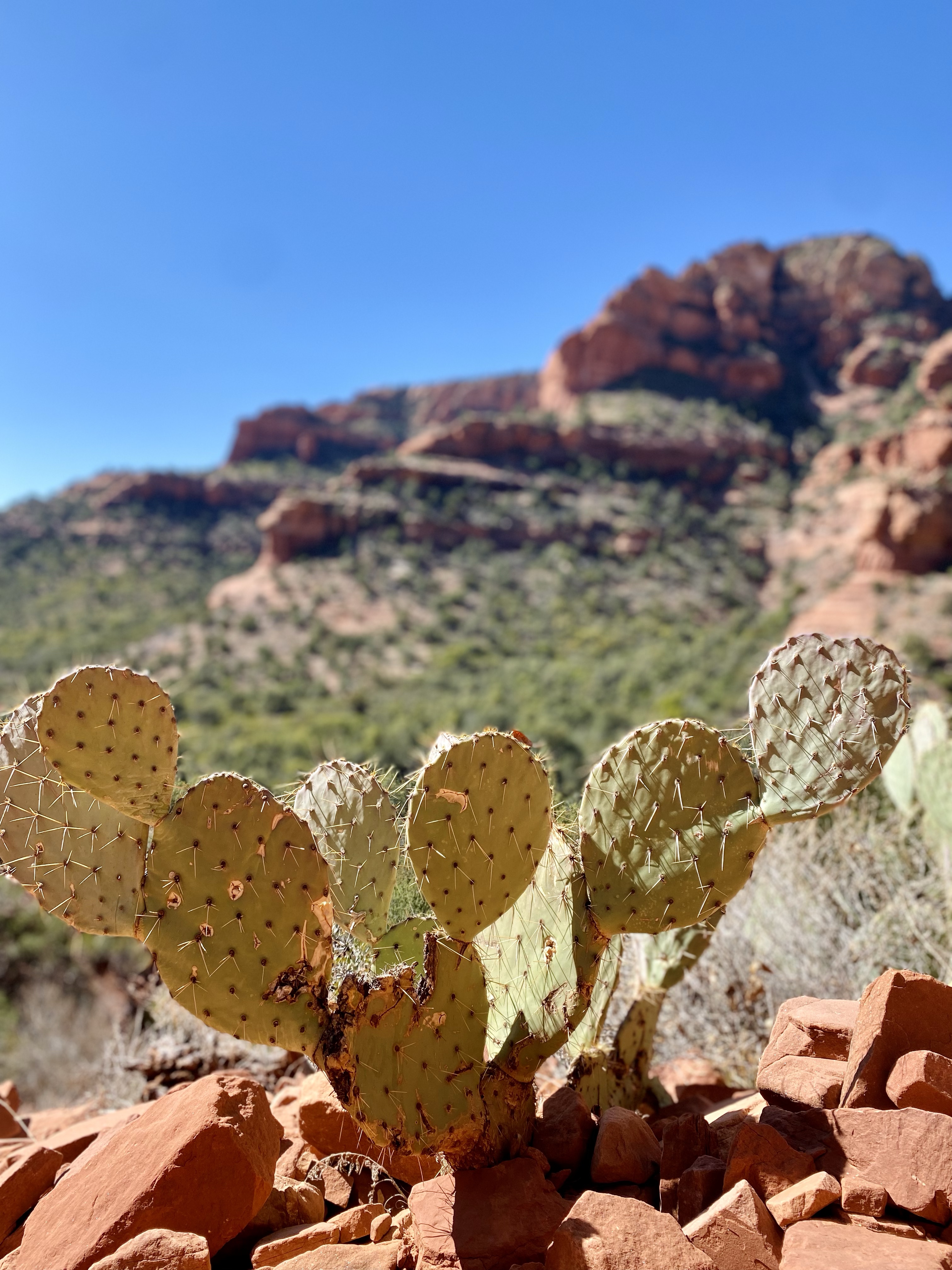
Day 3: A Day in Sedona – Hiking & Red Rock Magic

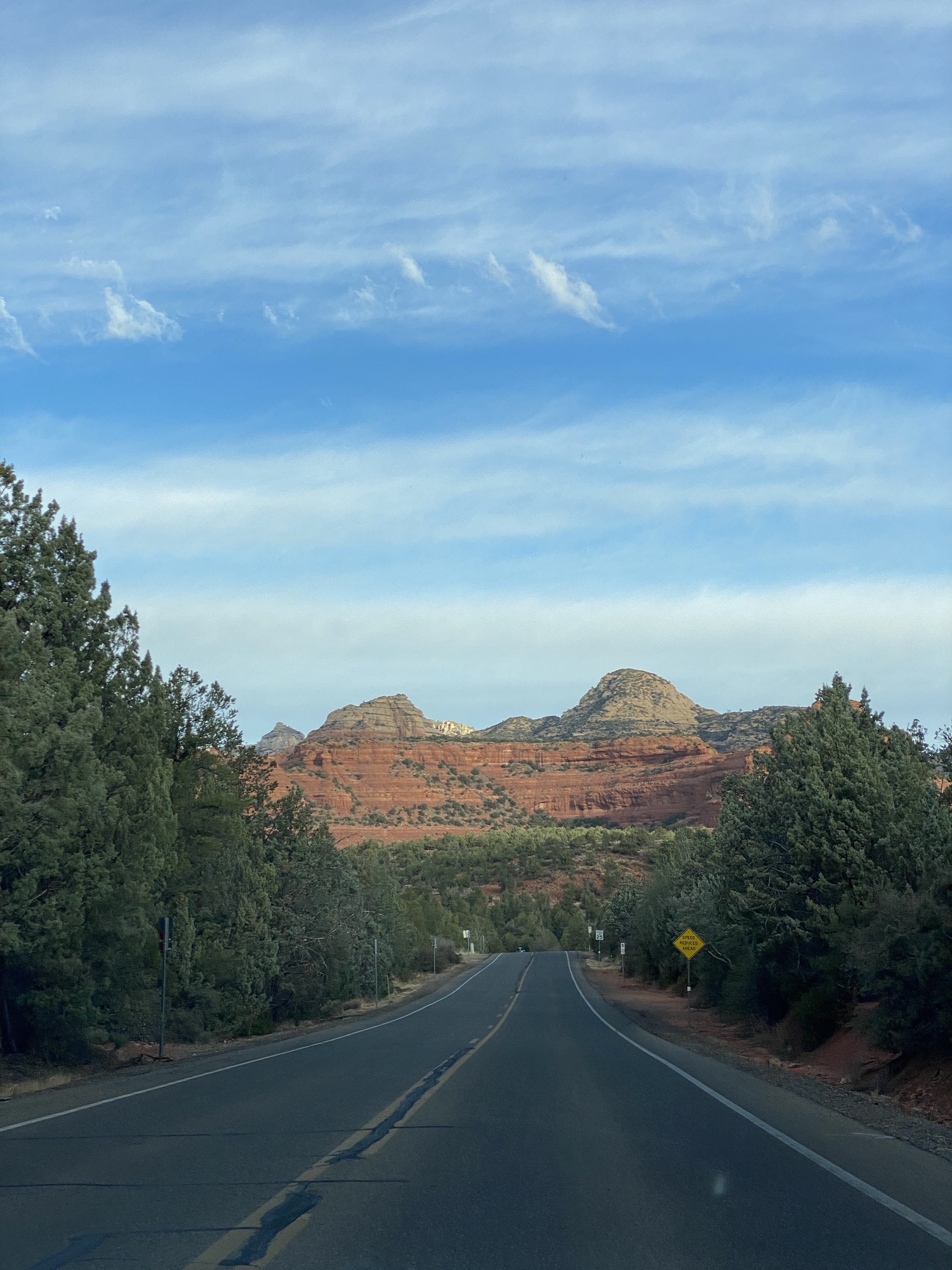
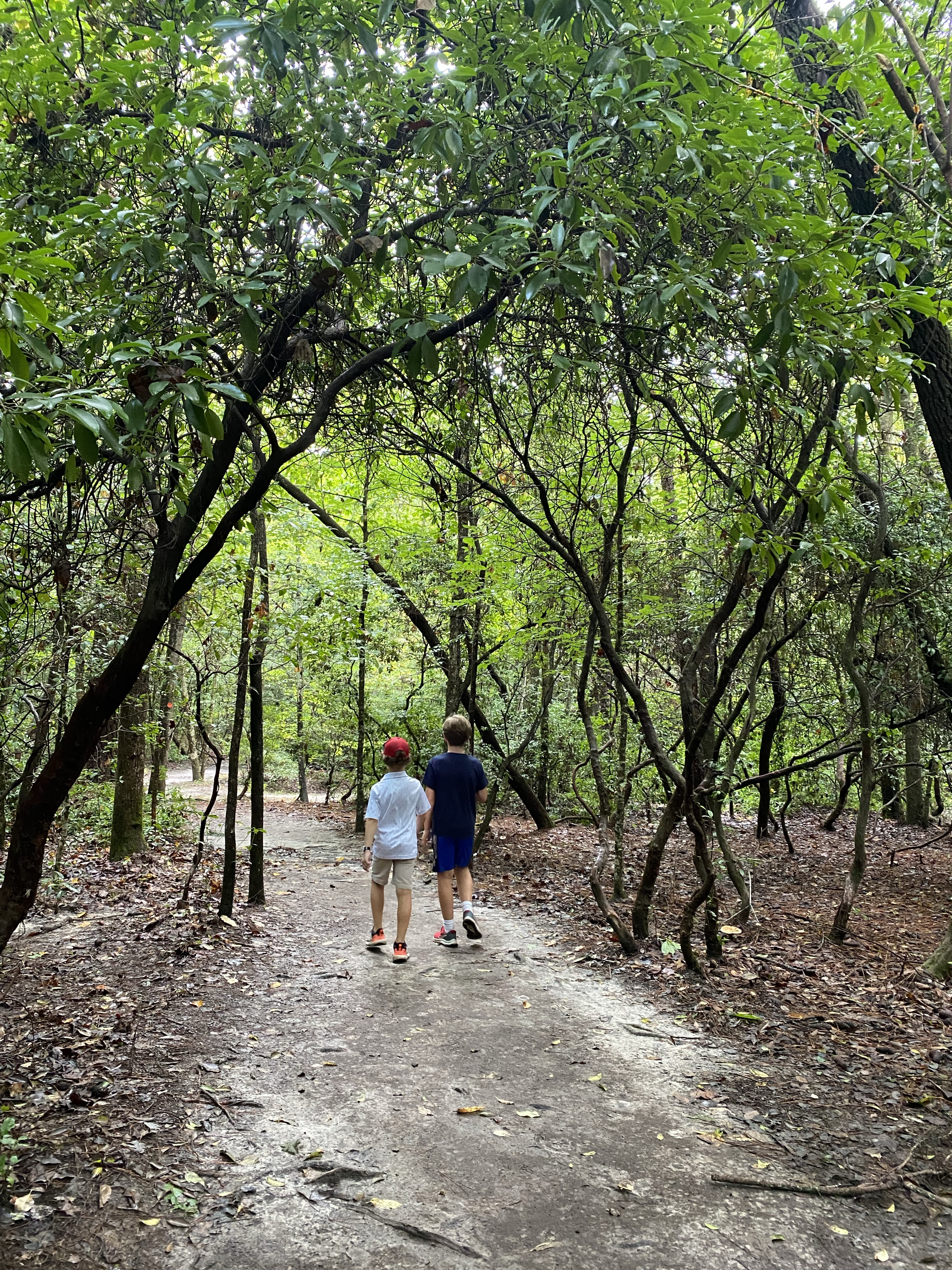
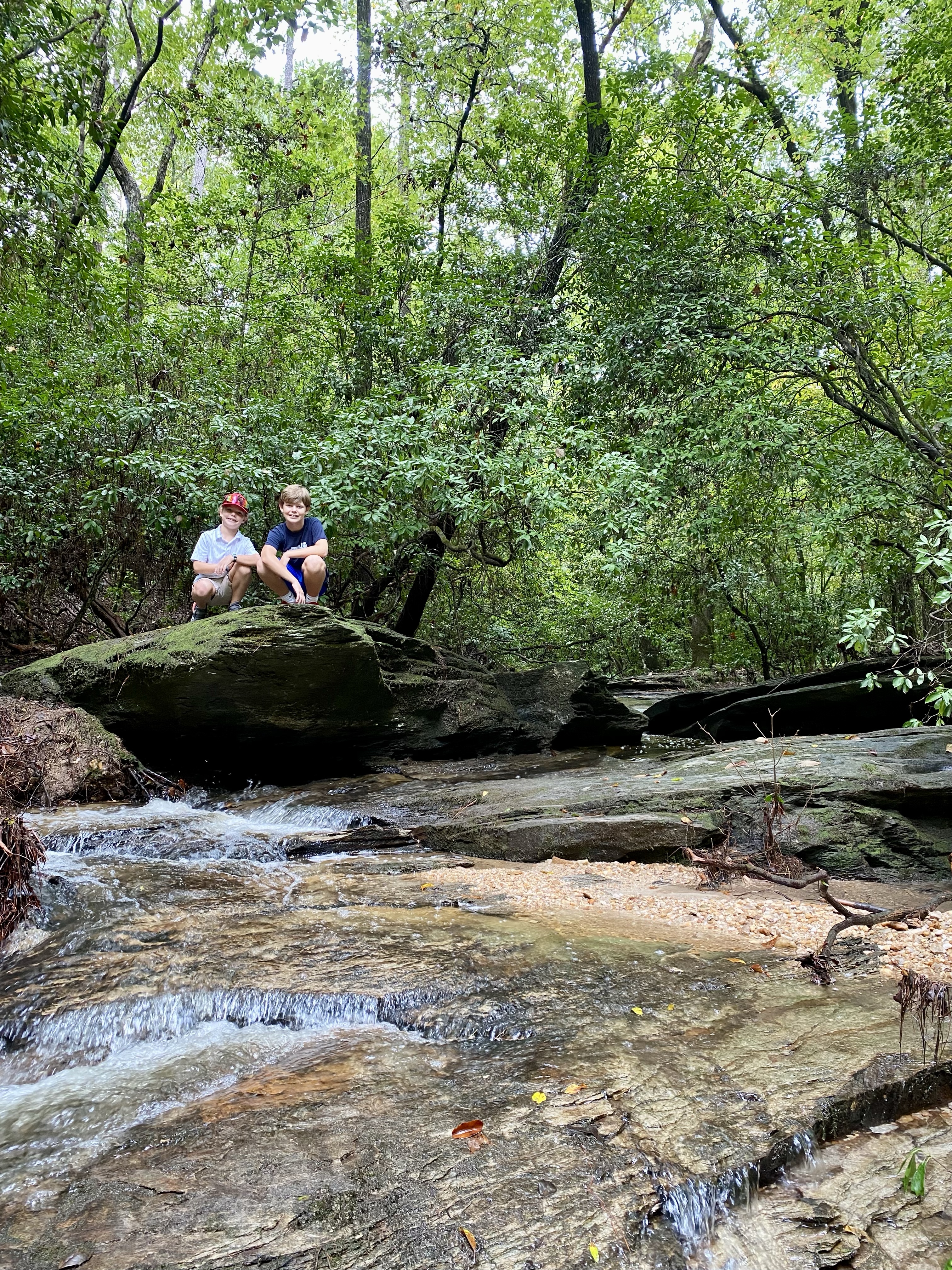
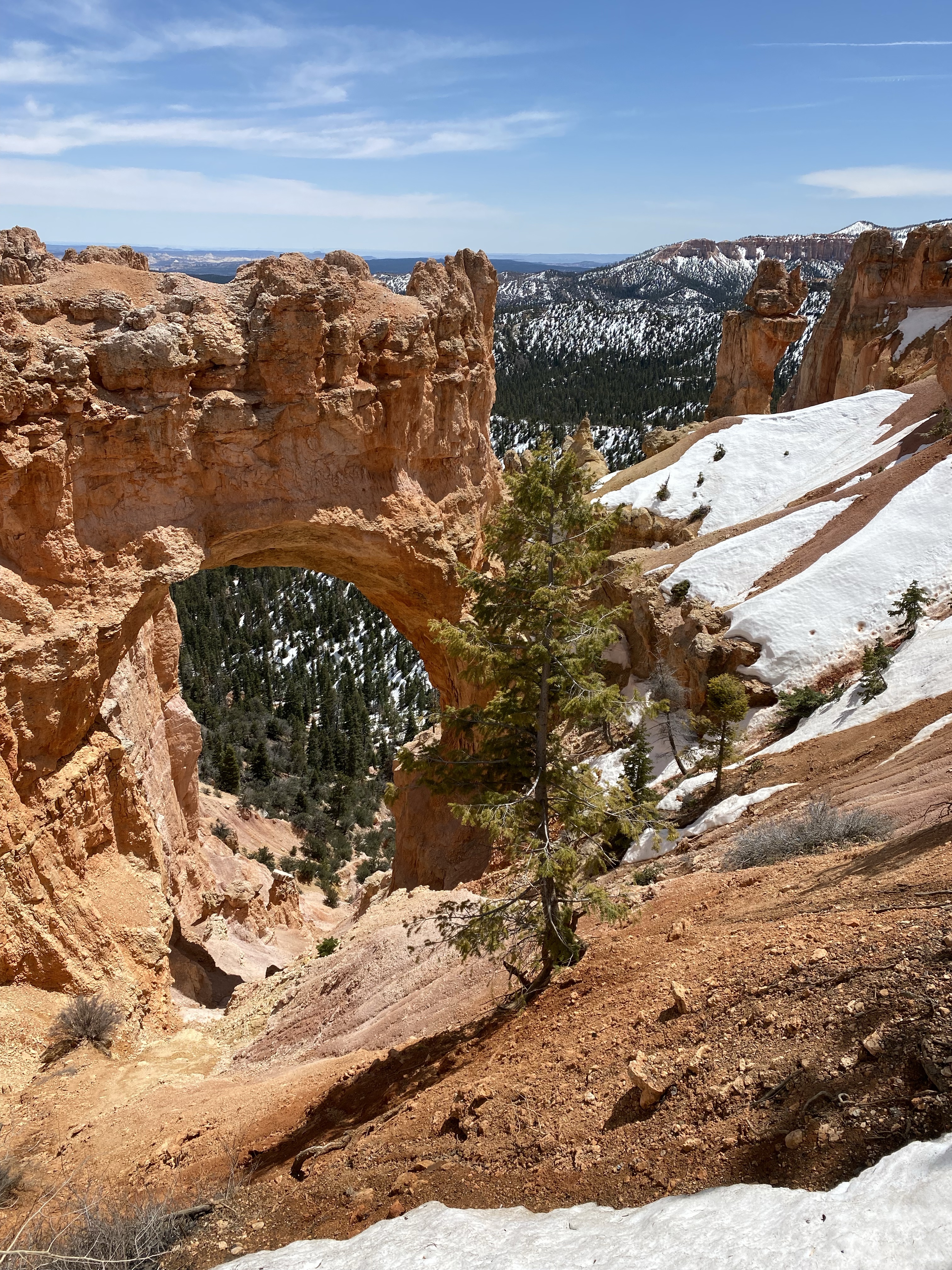
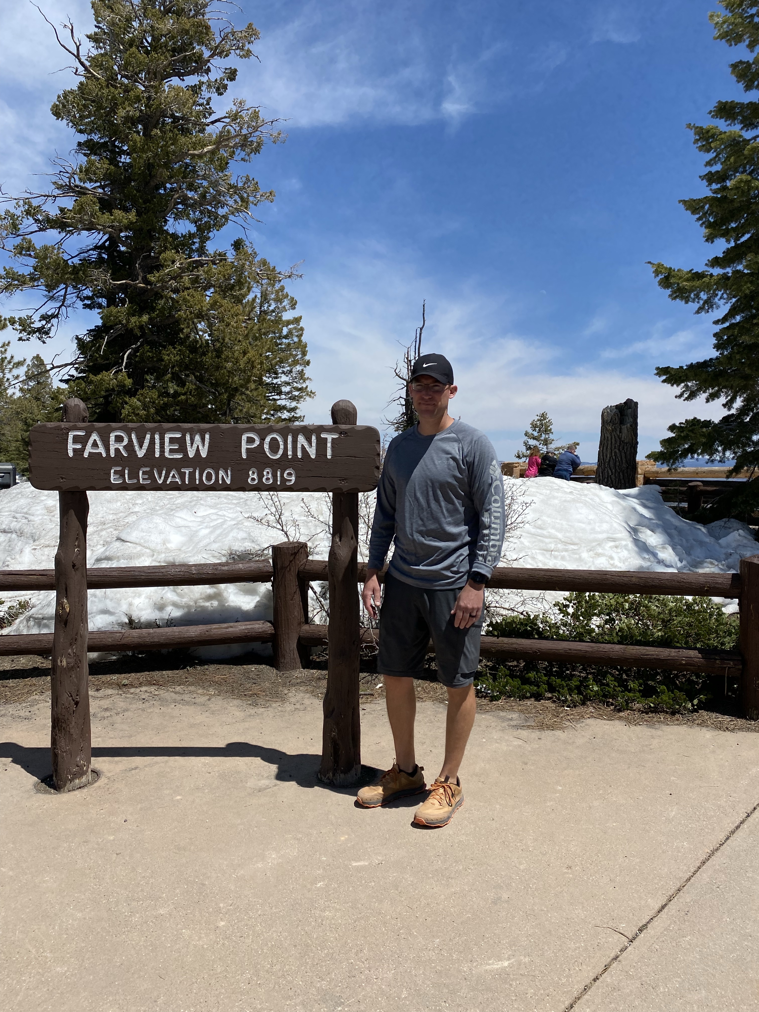
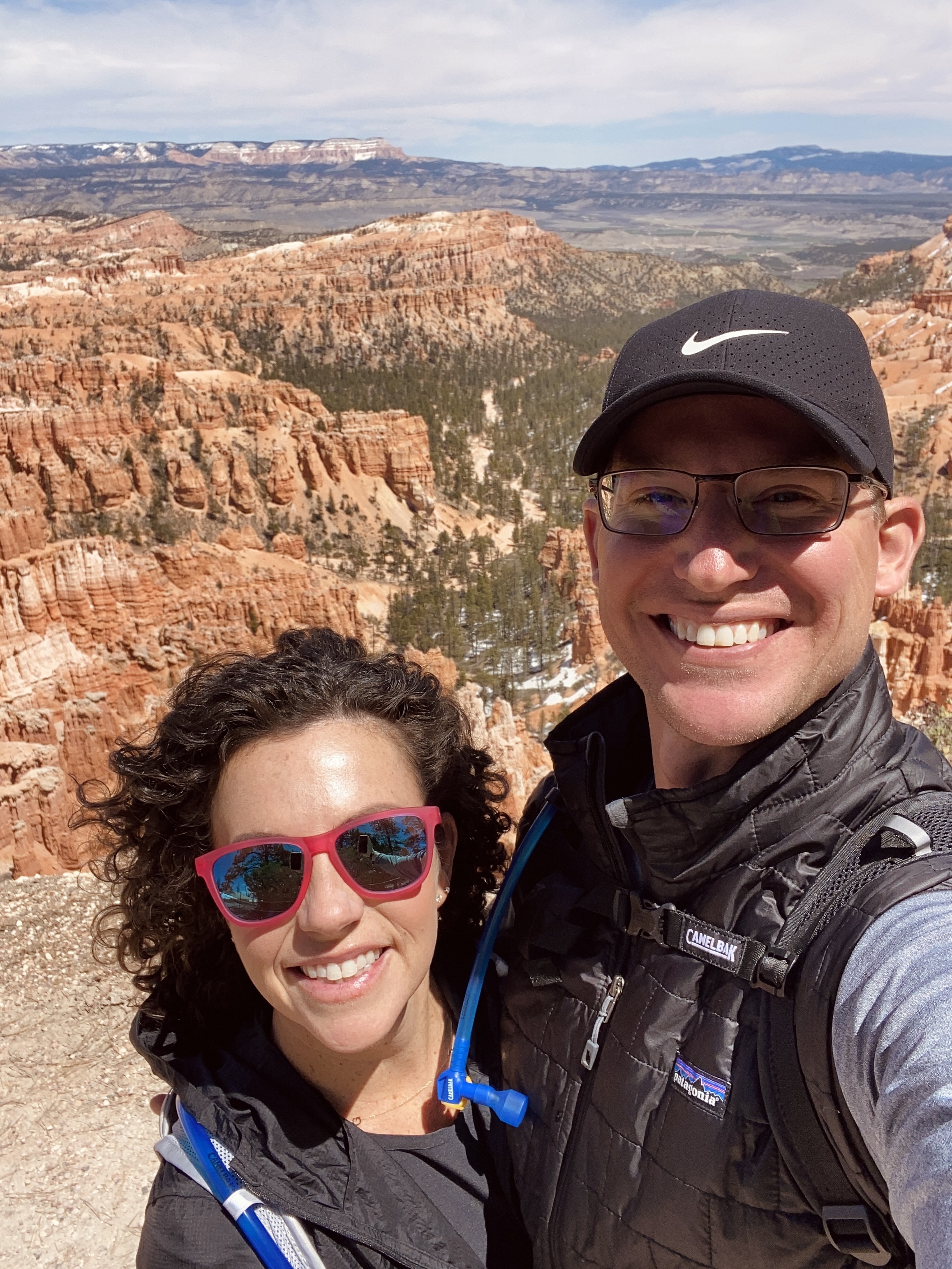
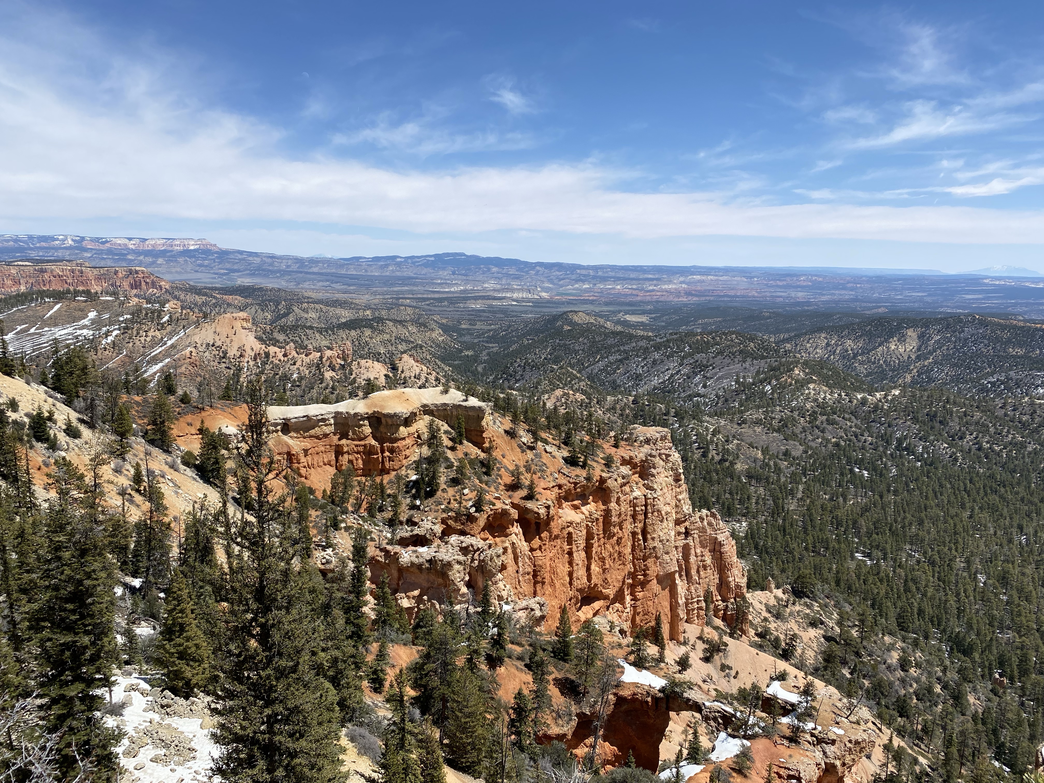
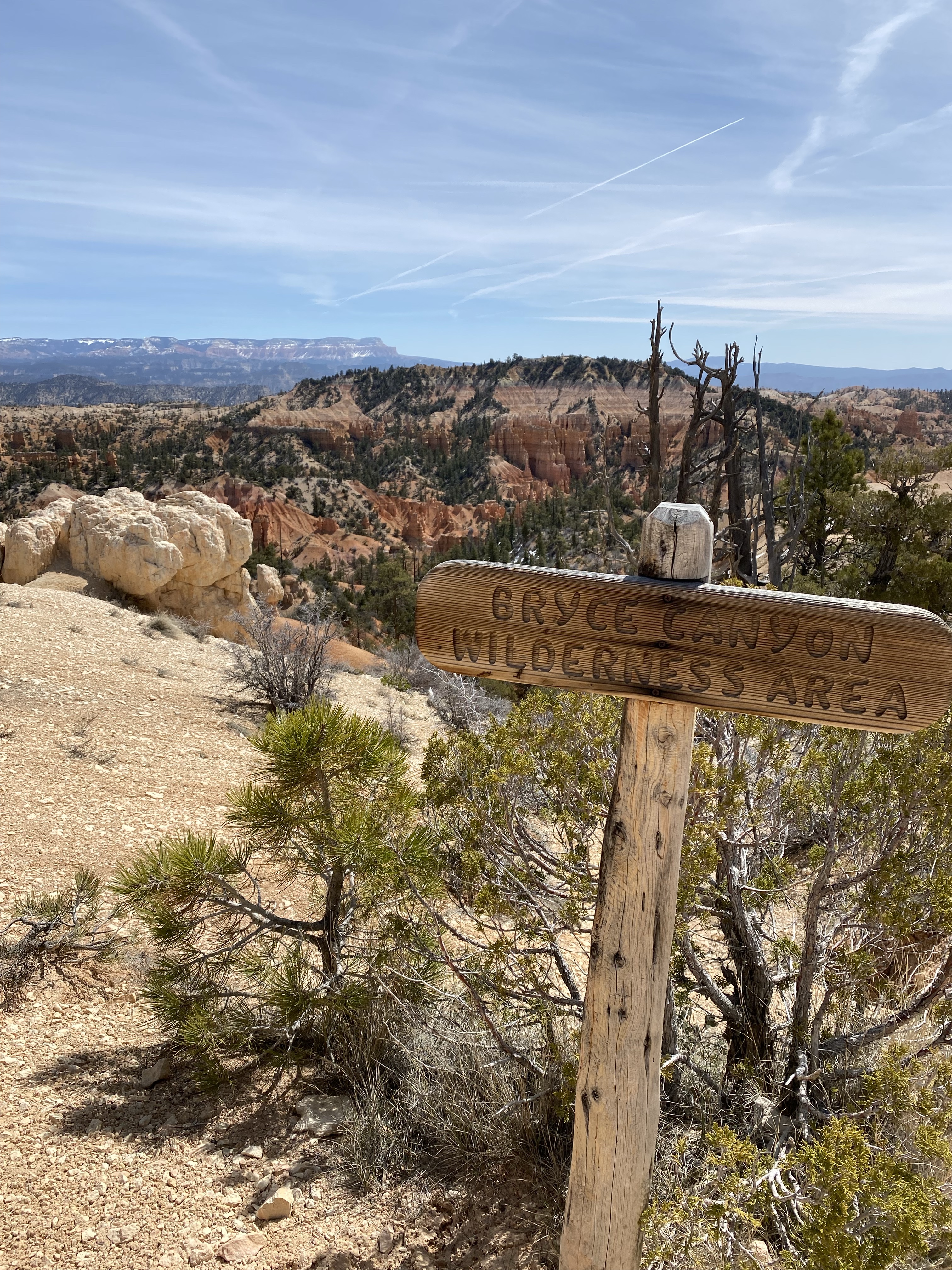
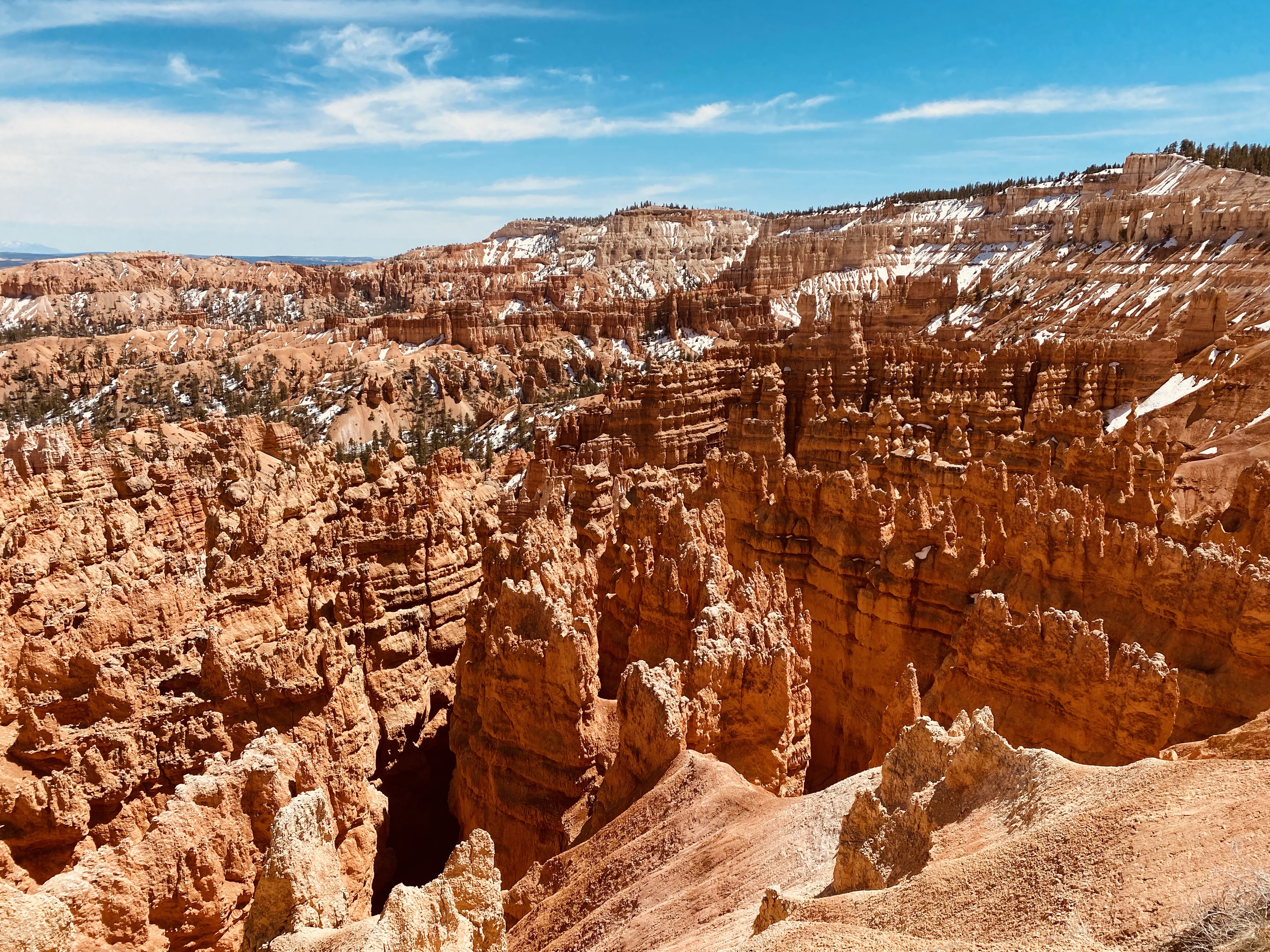
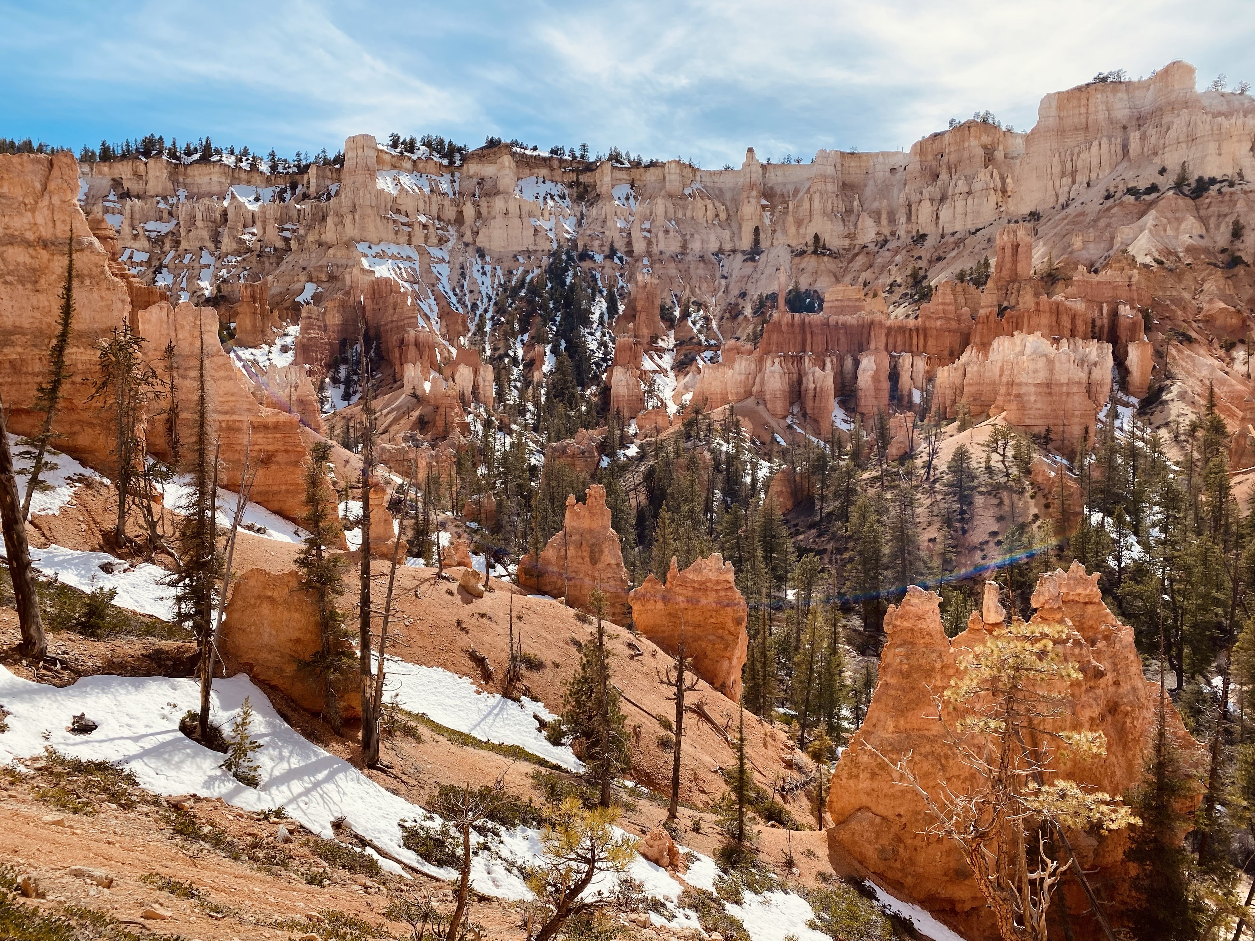
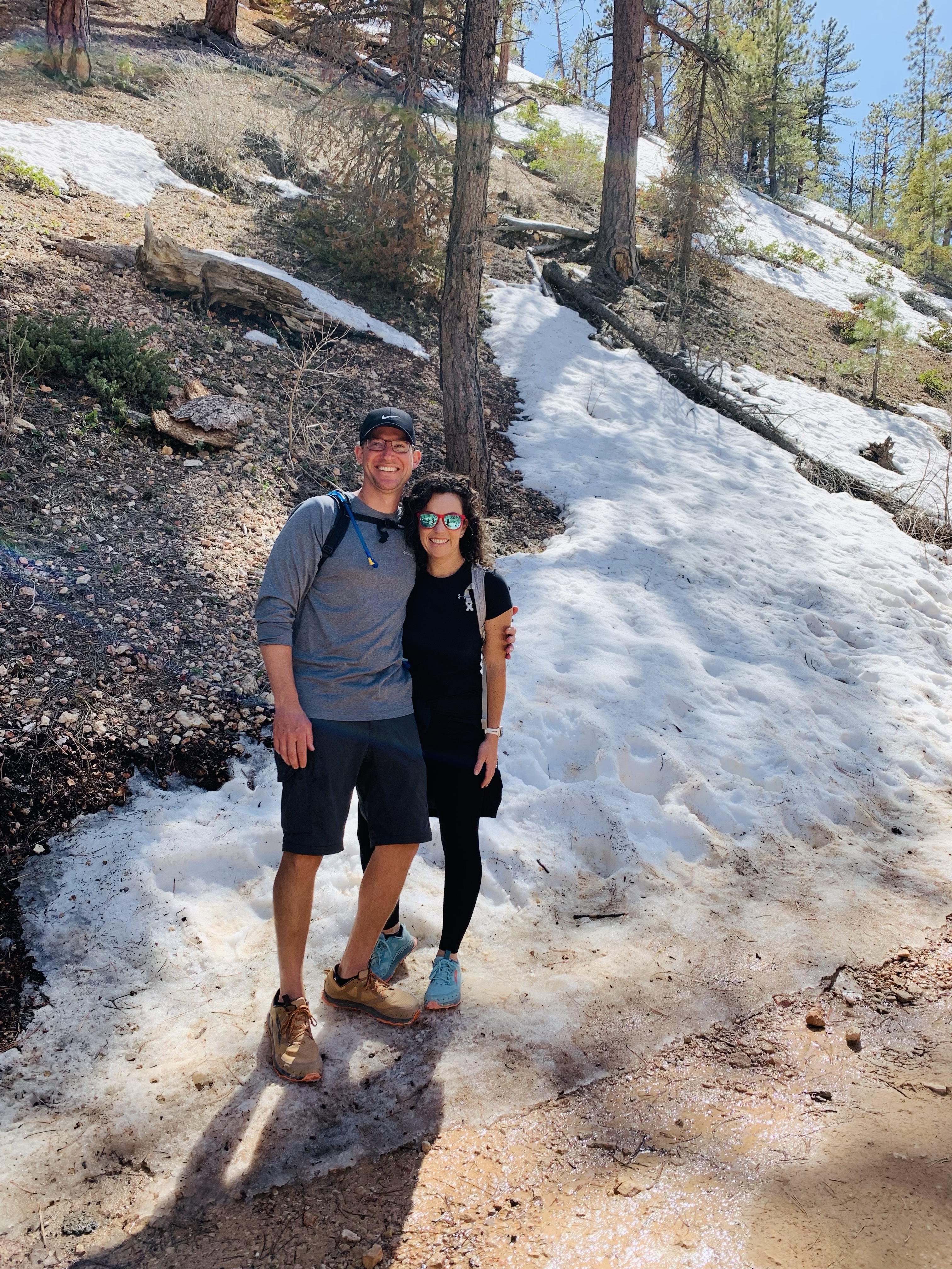
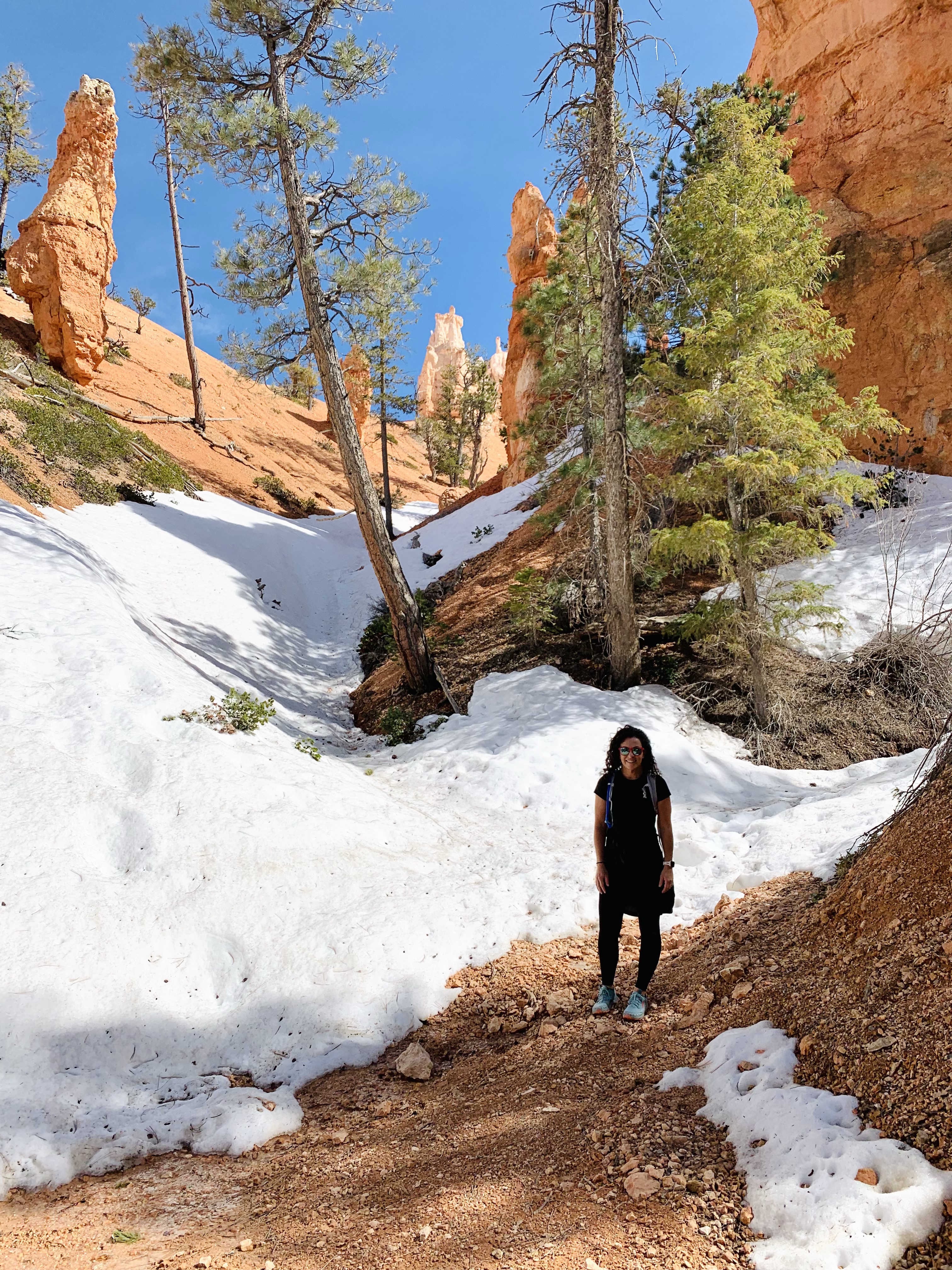
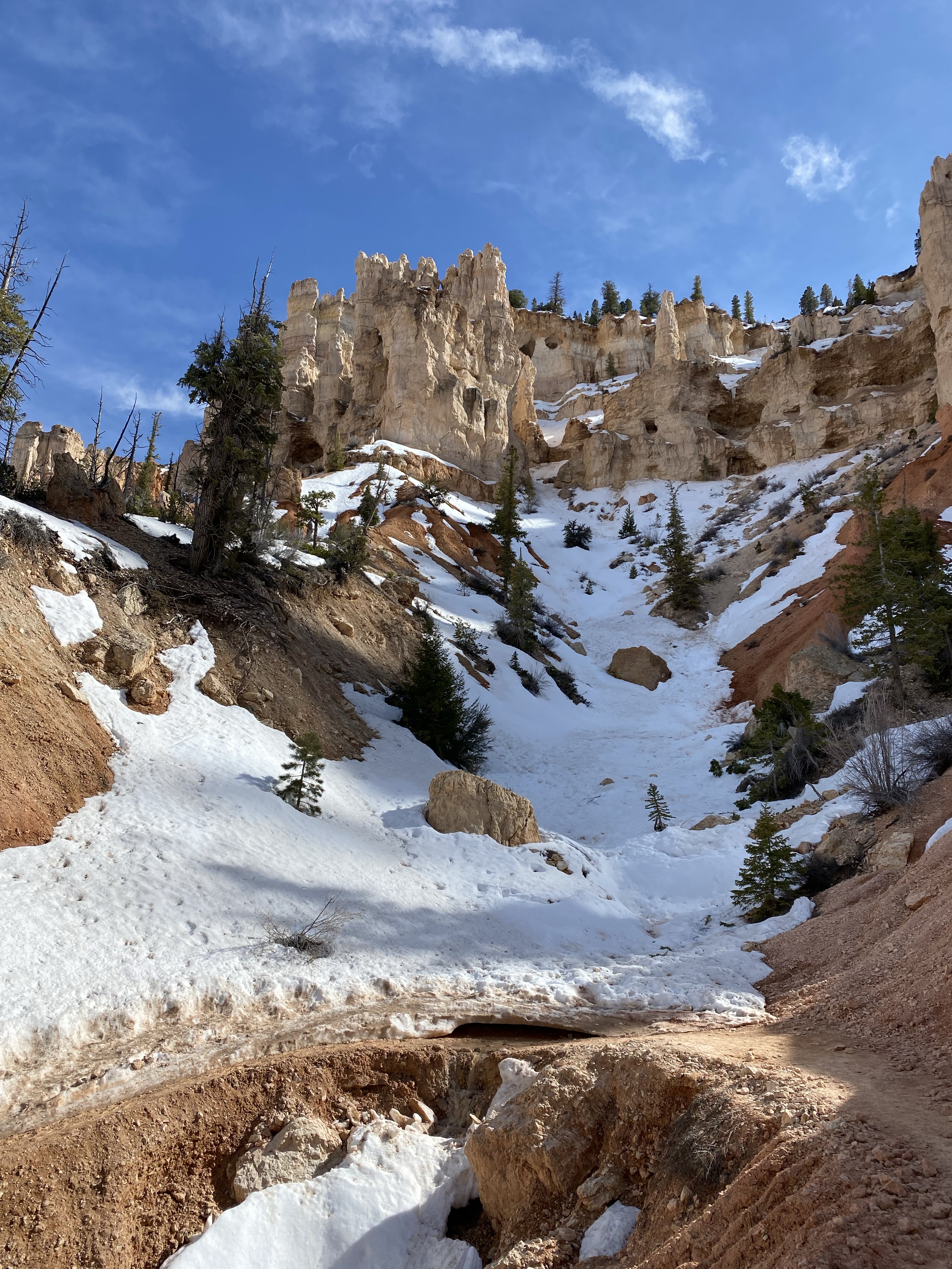
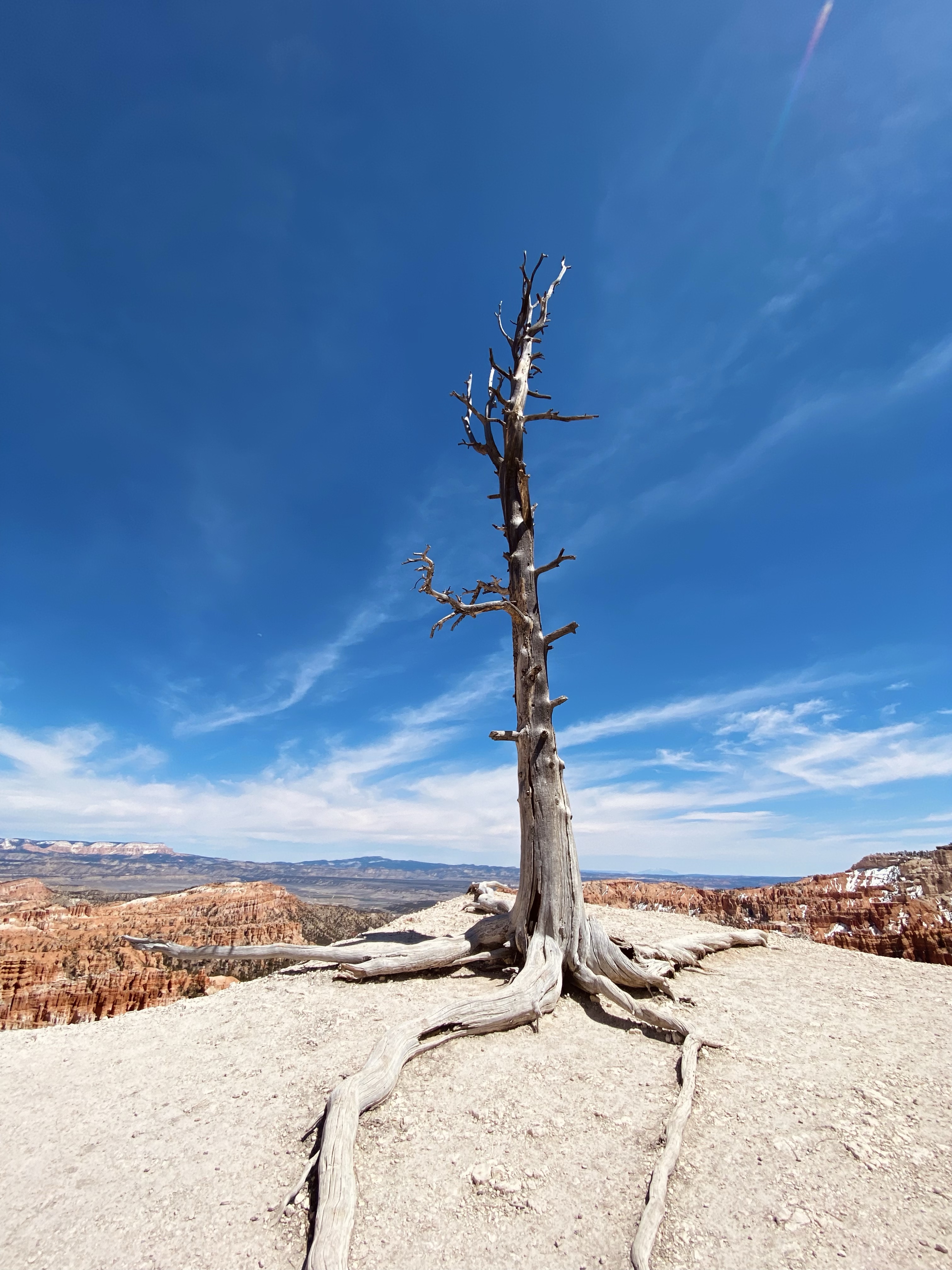
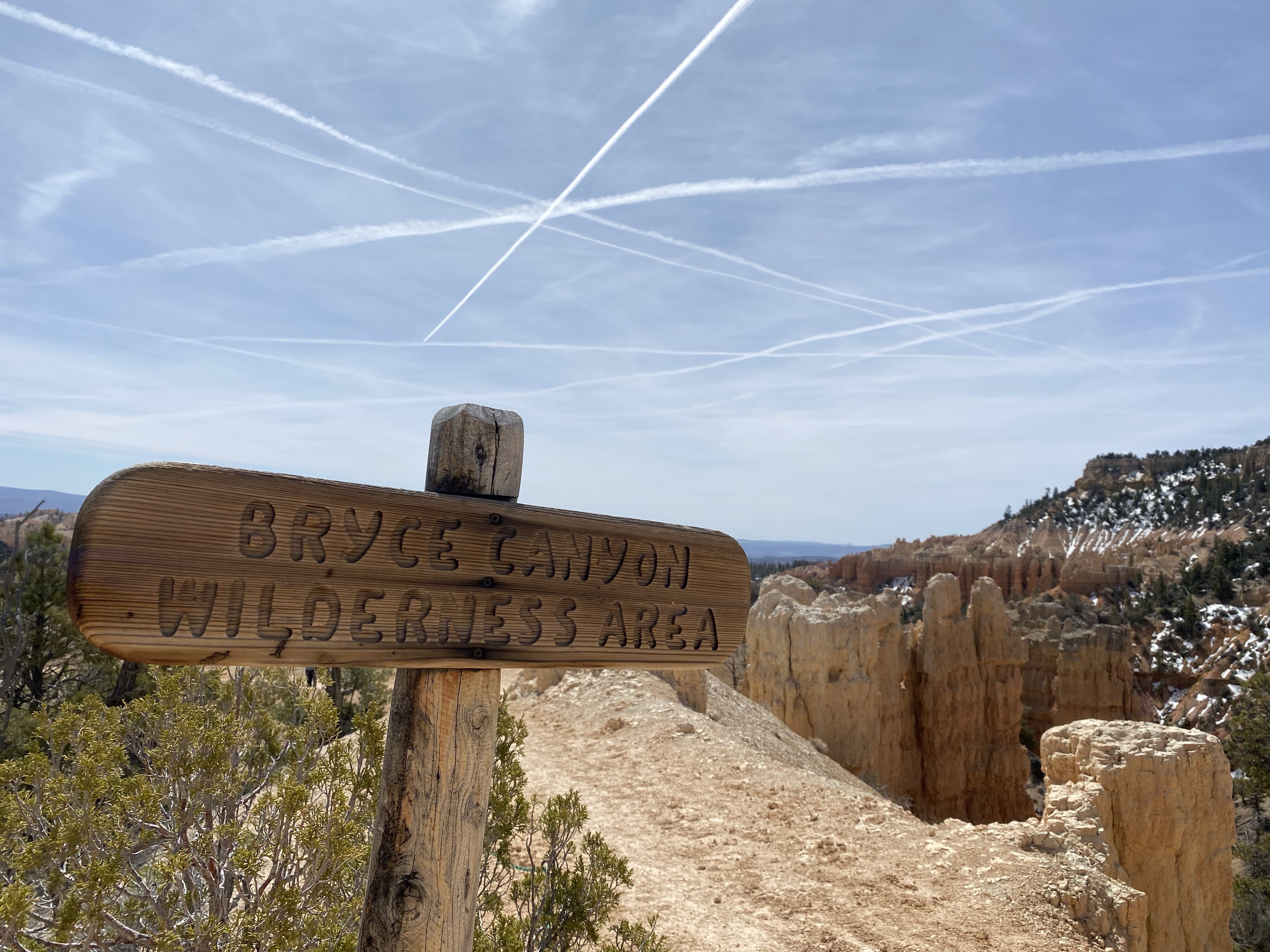
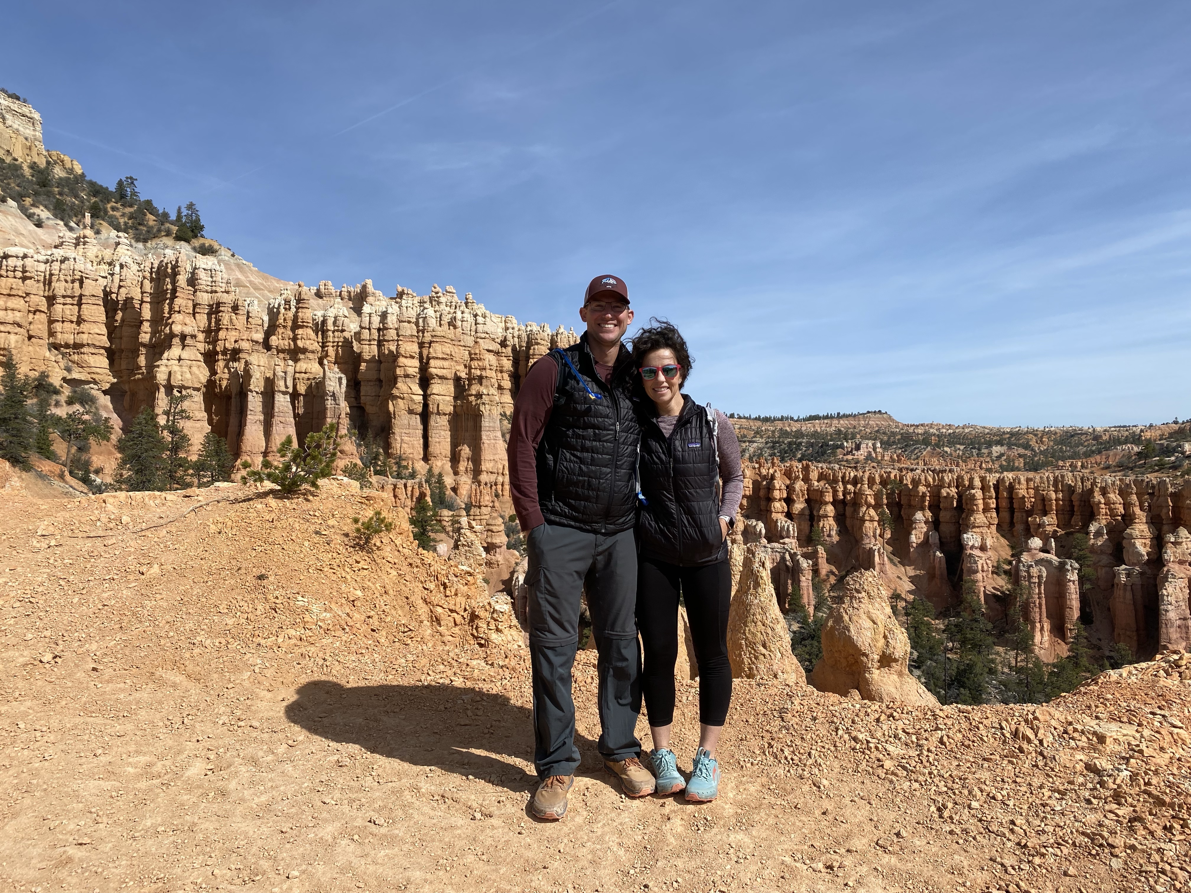
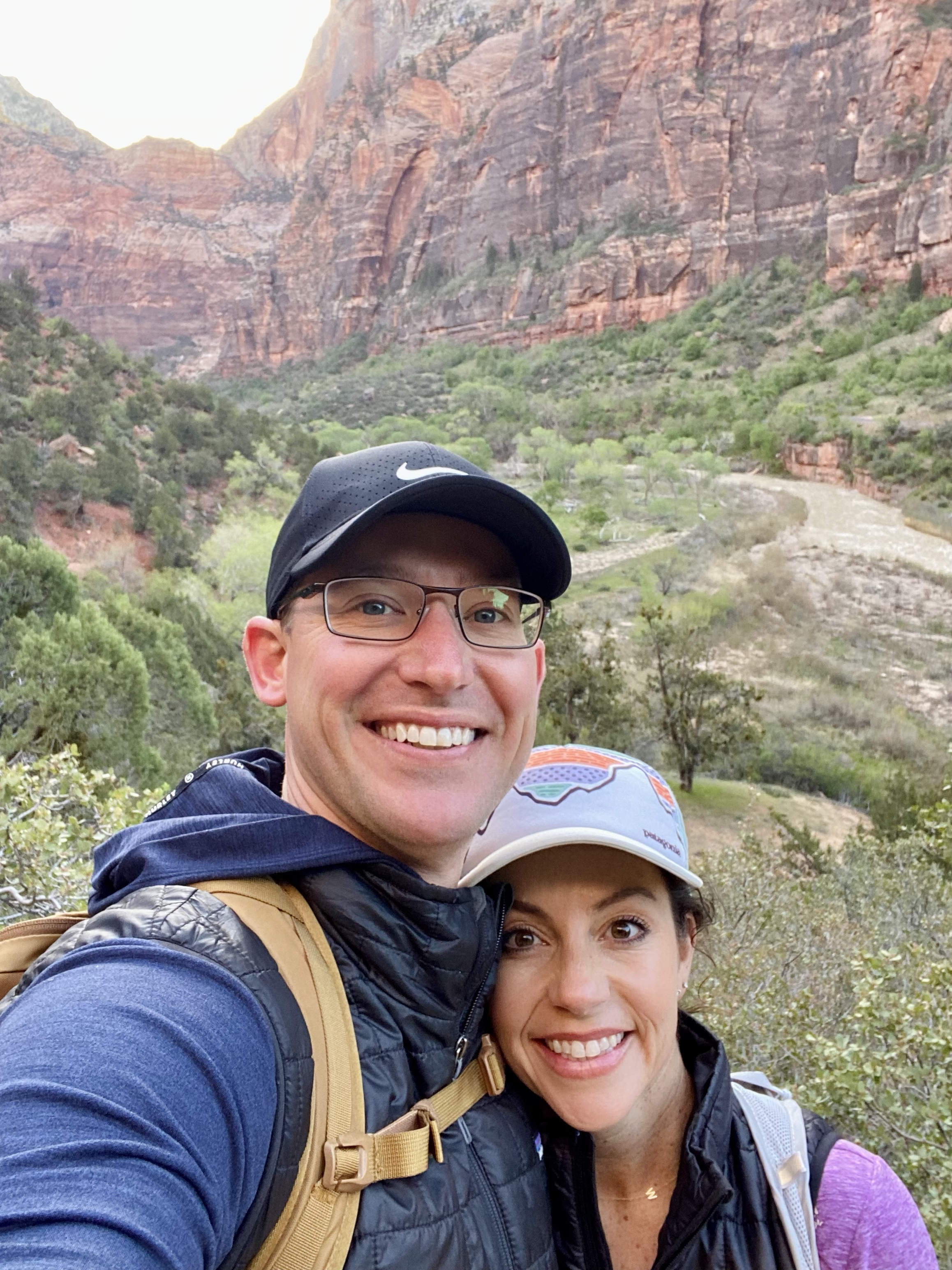
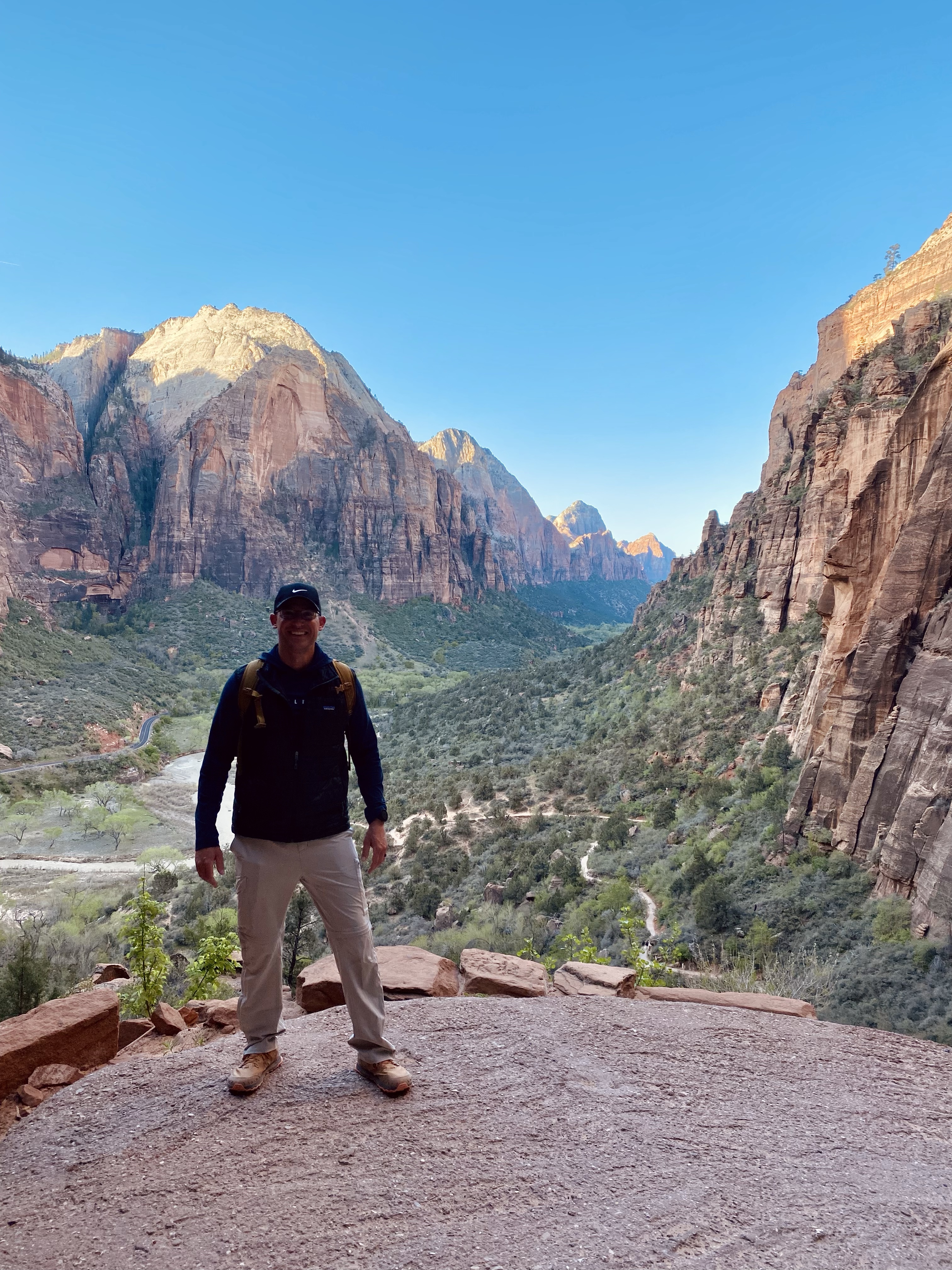
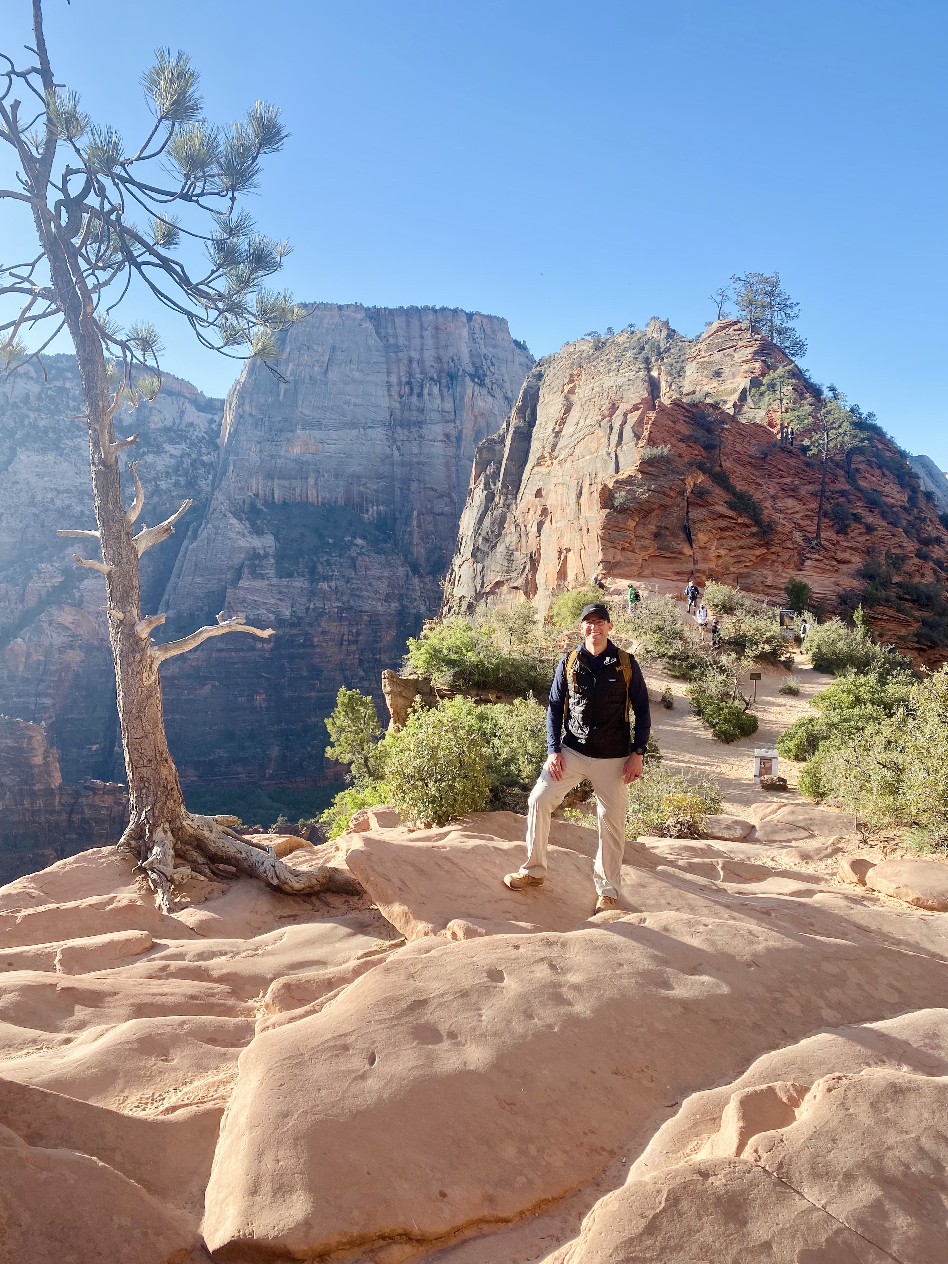
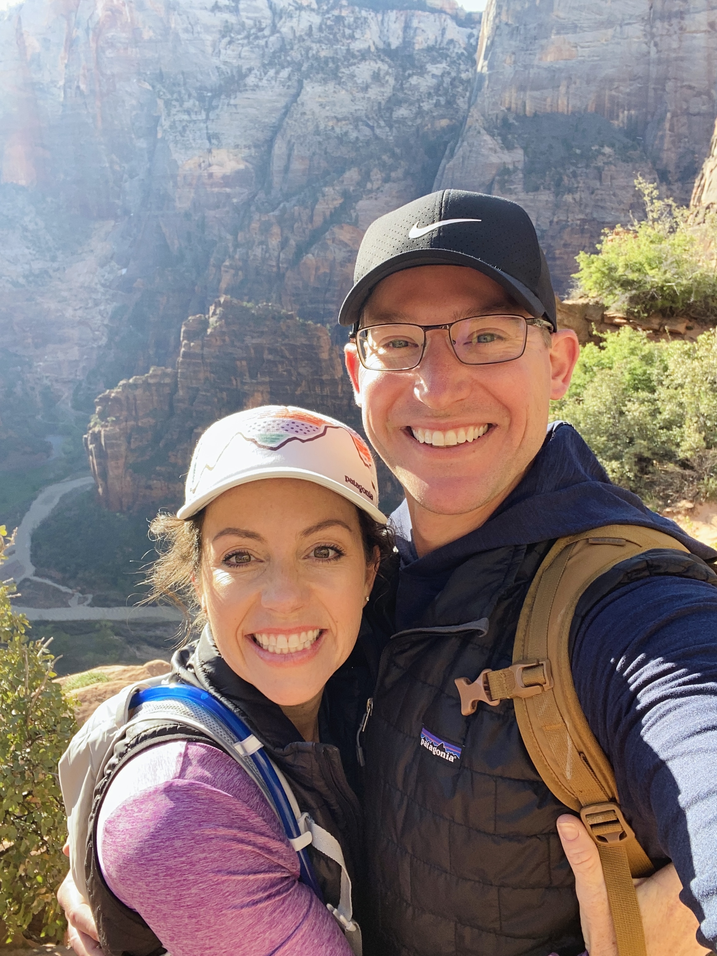
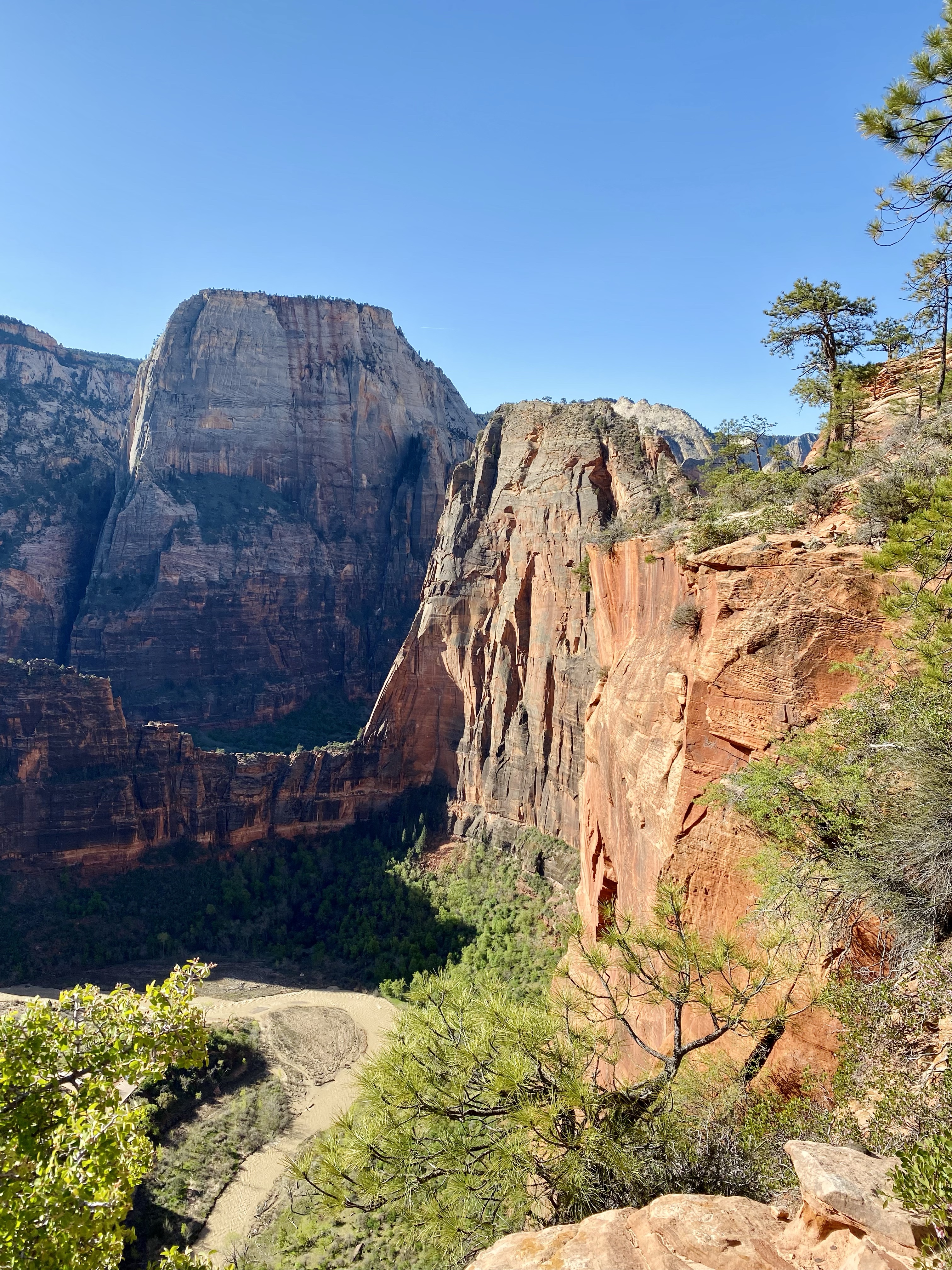
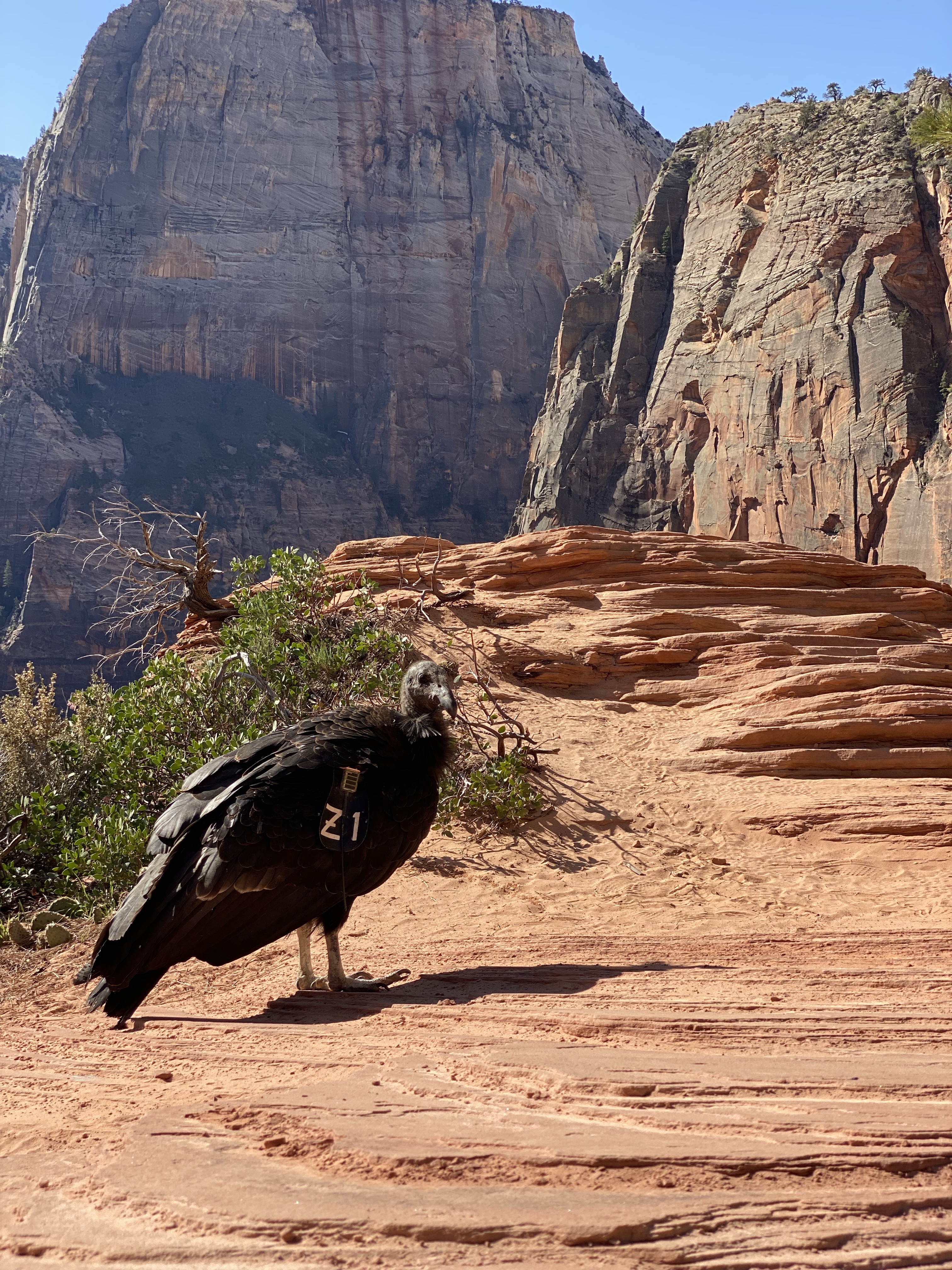
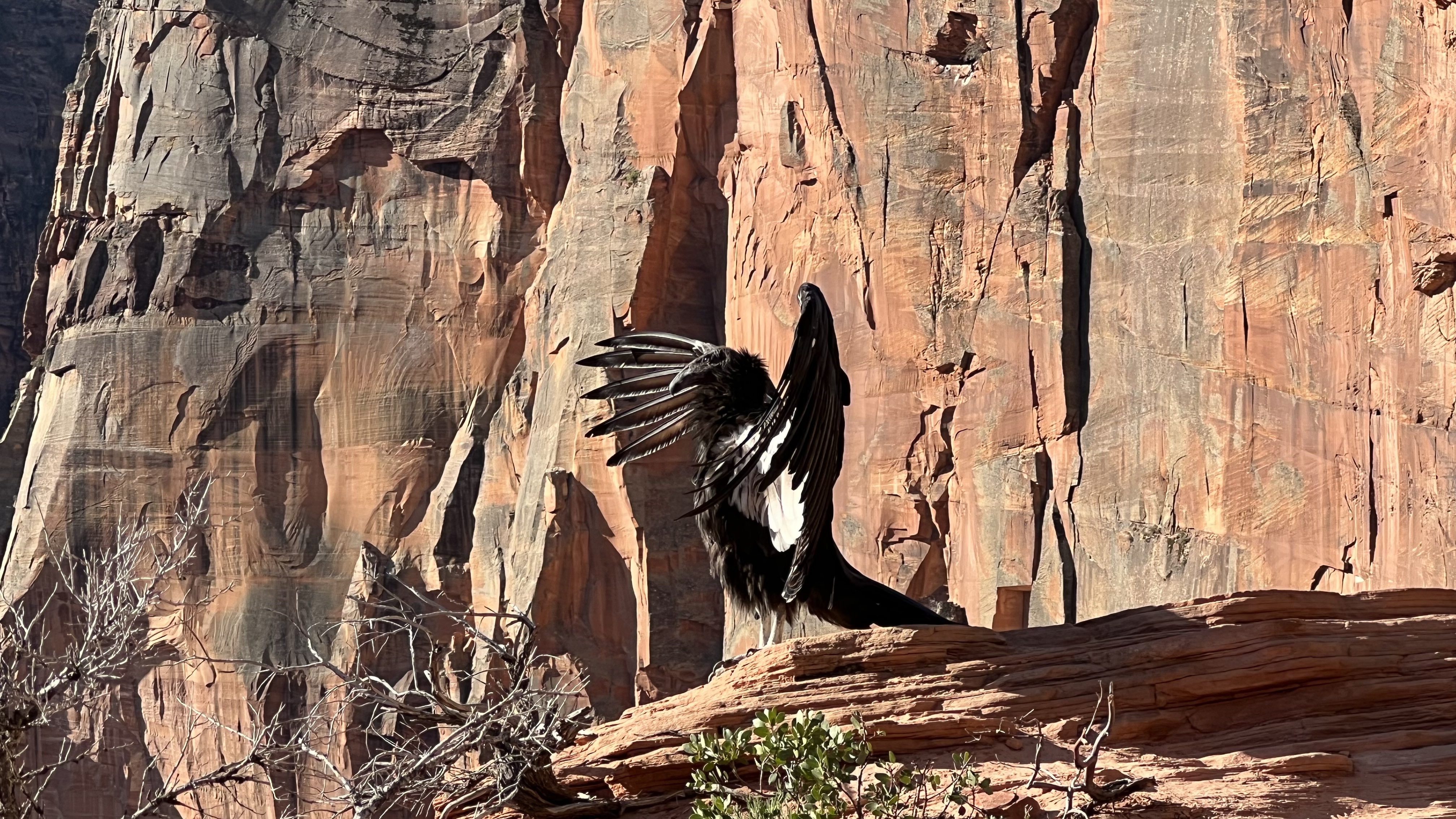
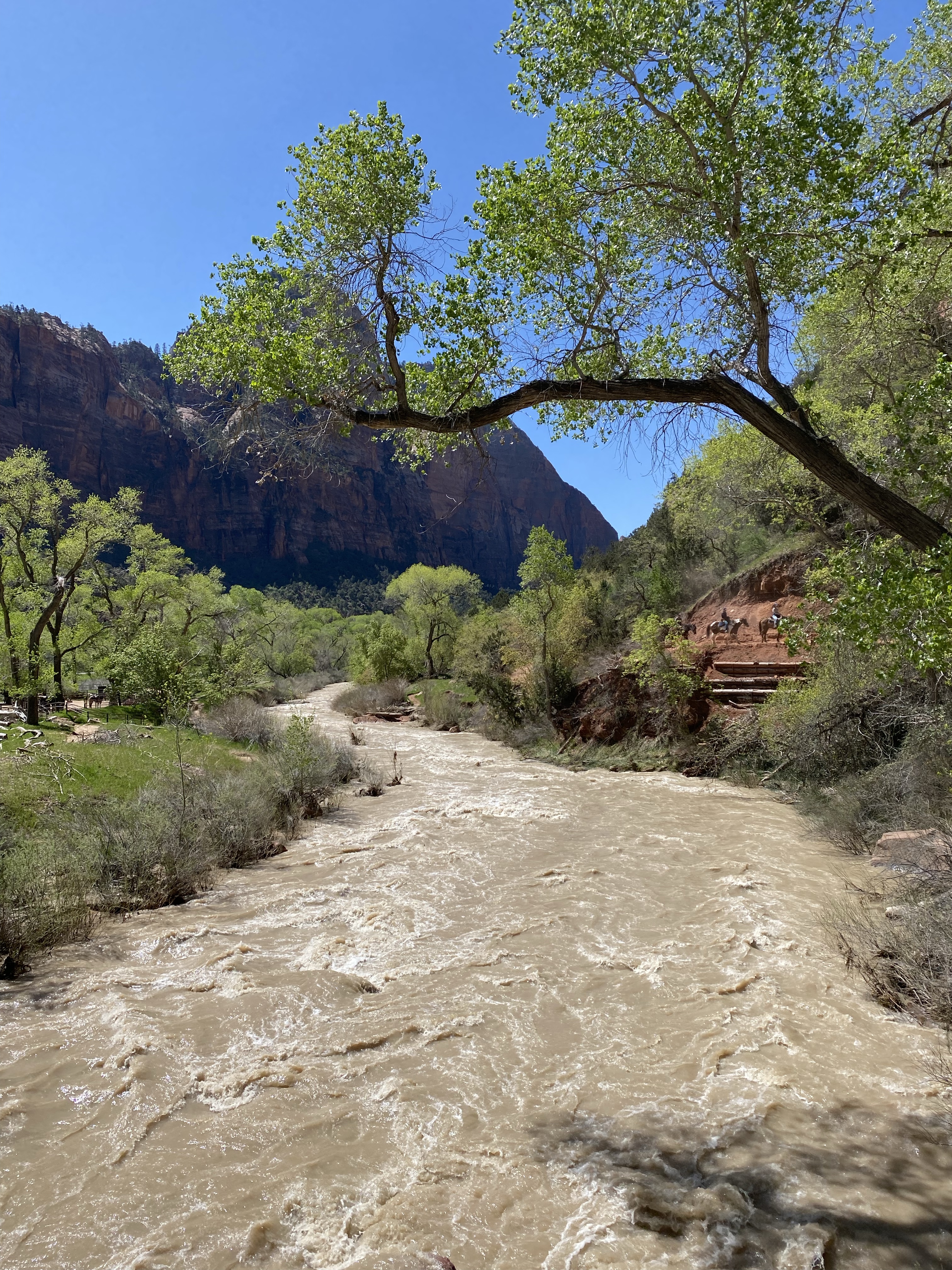
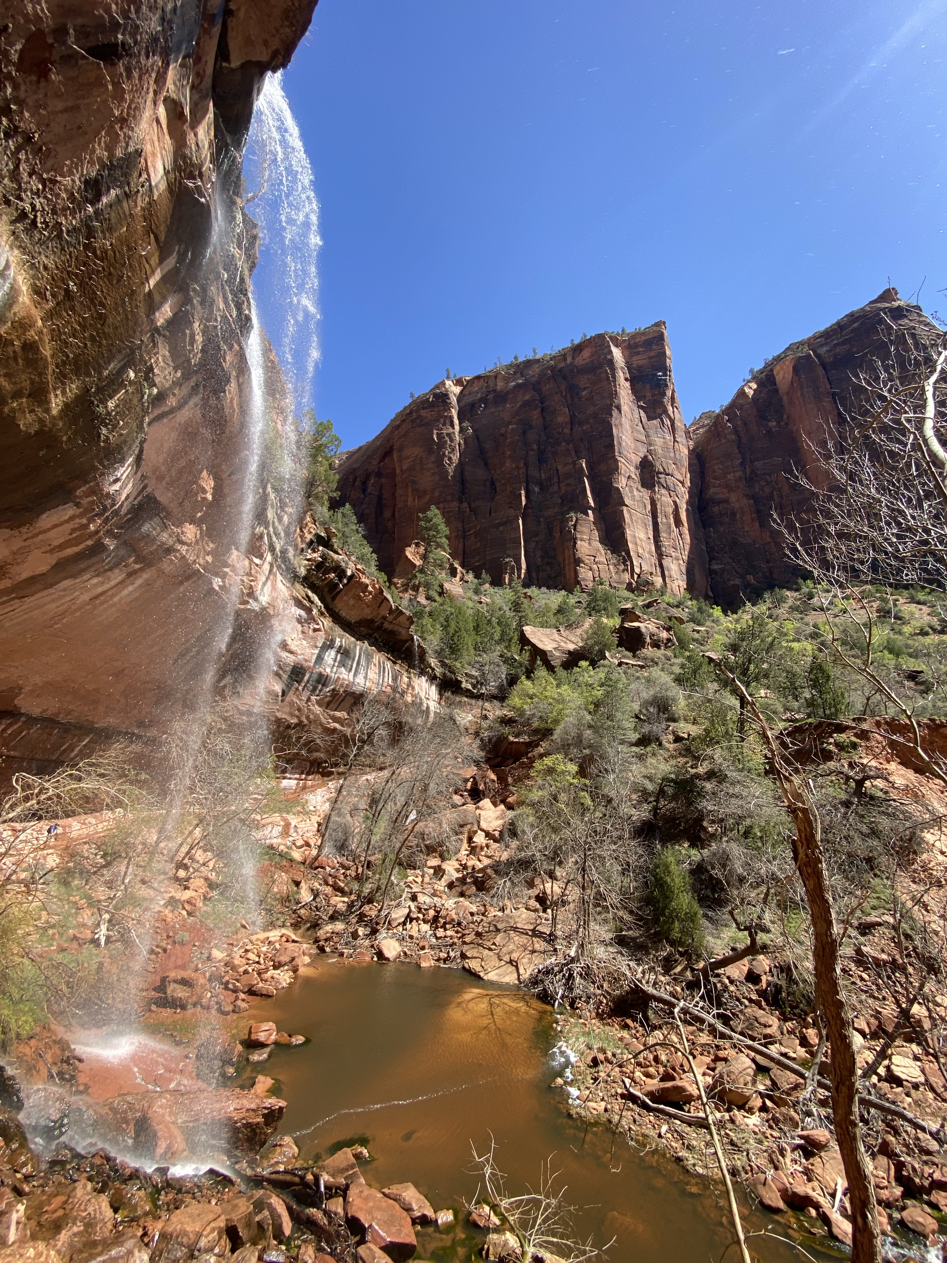
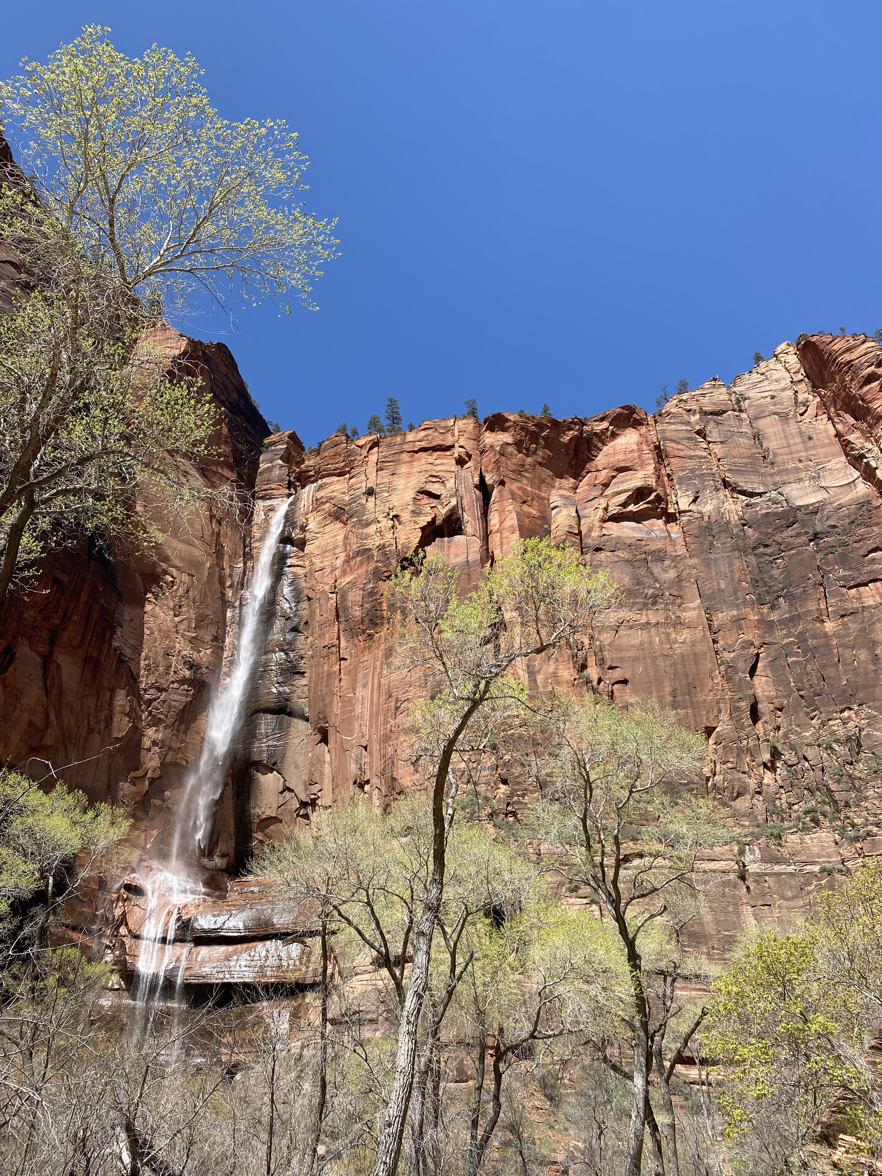
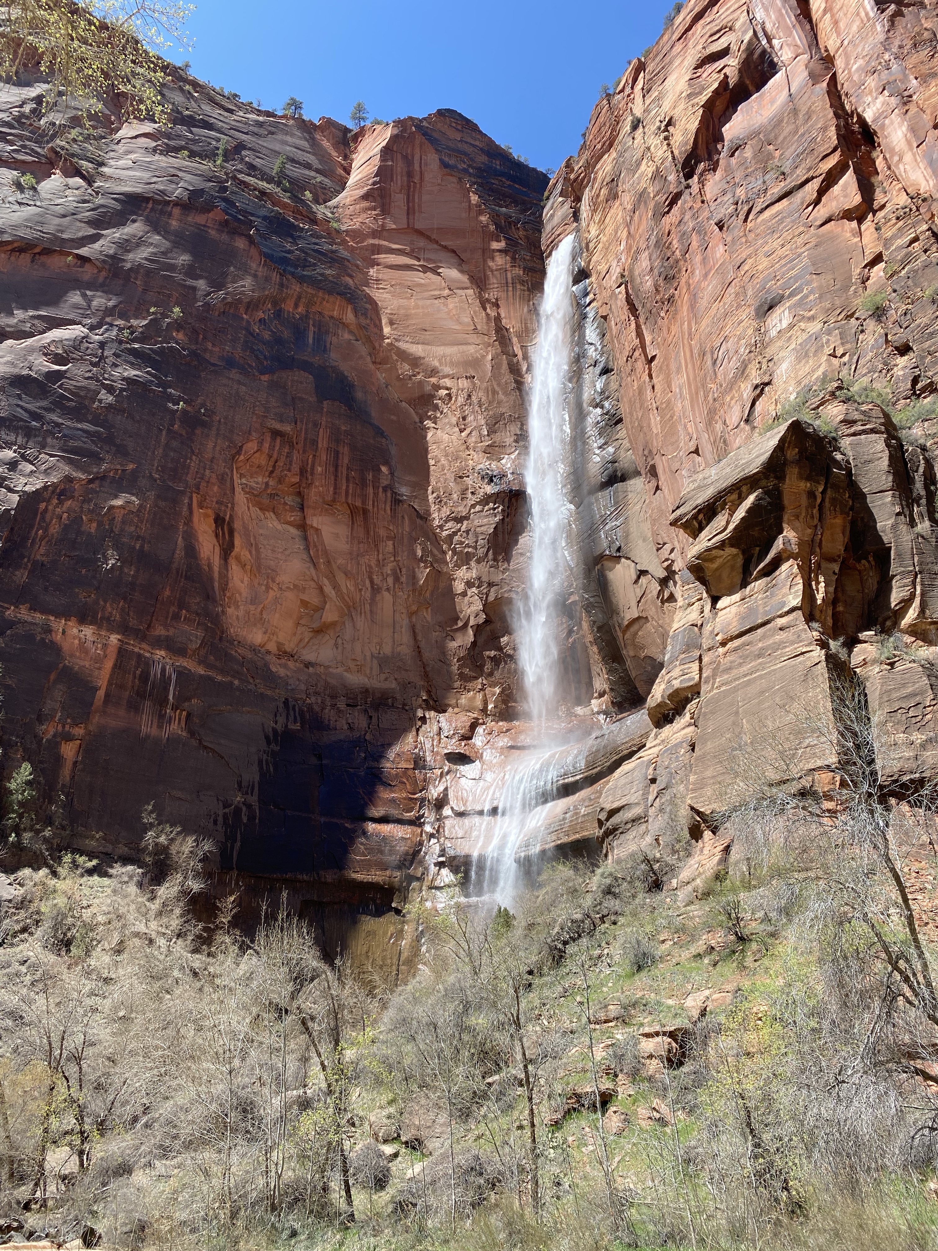
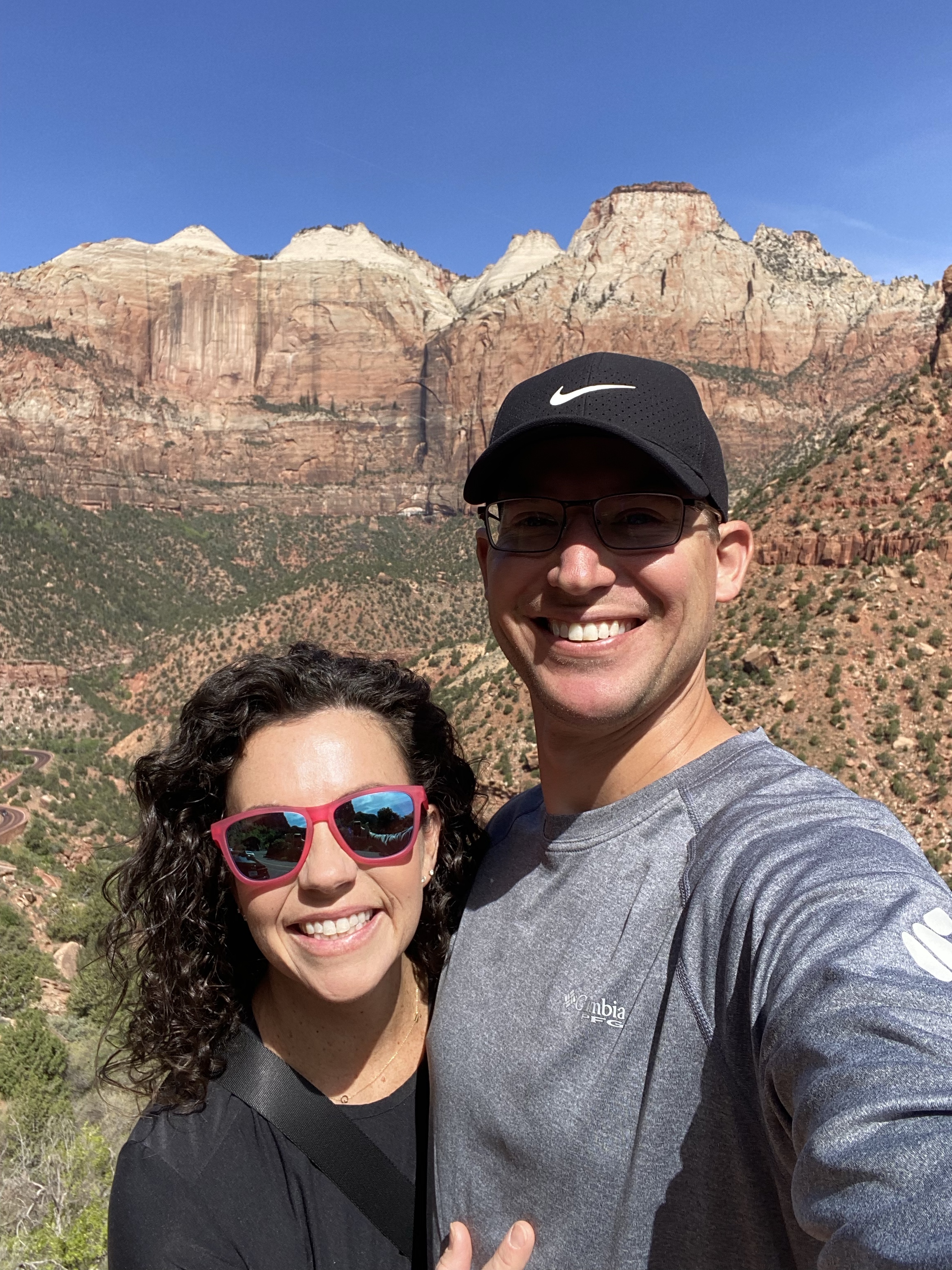
When Adam and I traveled out west in April of 2023 to visit Bryce, Zion National Parks and other bucket list stops, we passed through Sedona at the end of our trip but didn’t have time to explore. Knowing I’d only be 2 hours away on this trip, I made it a priority to incoportate it into my itinerary as an adventure day. I got coffee for the road at Black Riffle Coffee Co (which i was excited to know was walking distance from my rental) and made the drive to Sedona. I spent the day hiking three different trails, each one offering something special—red rock views, peaceful forested paths, and that unmistakable Sedona magic.

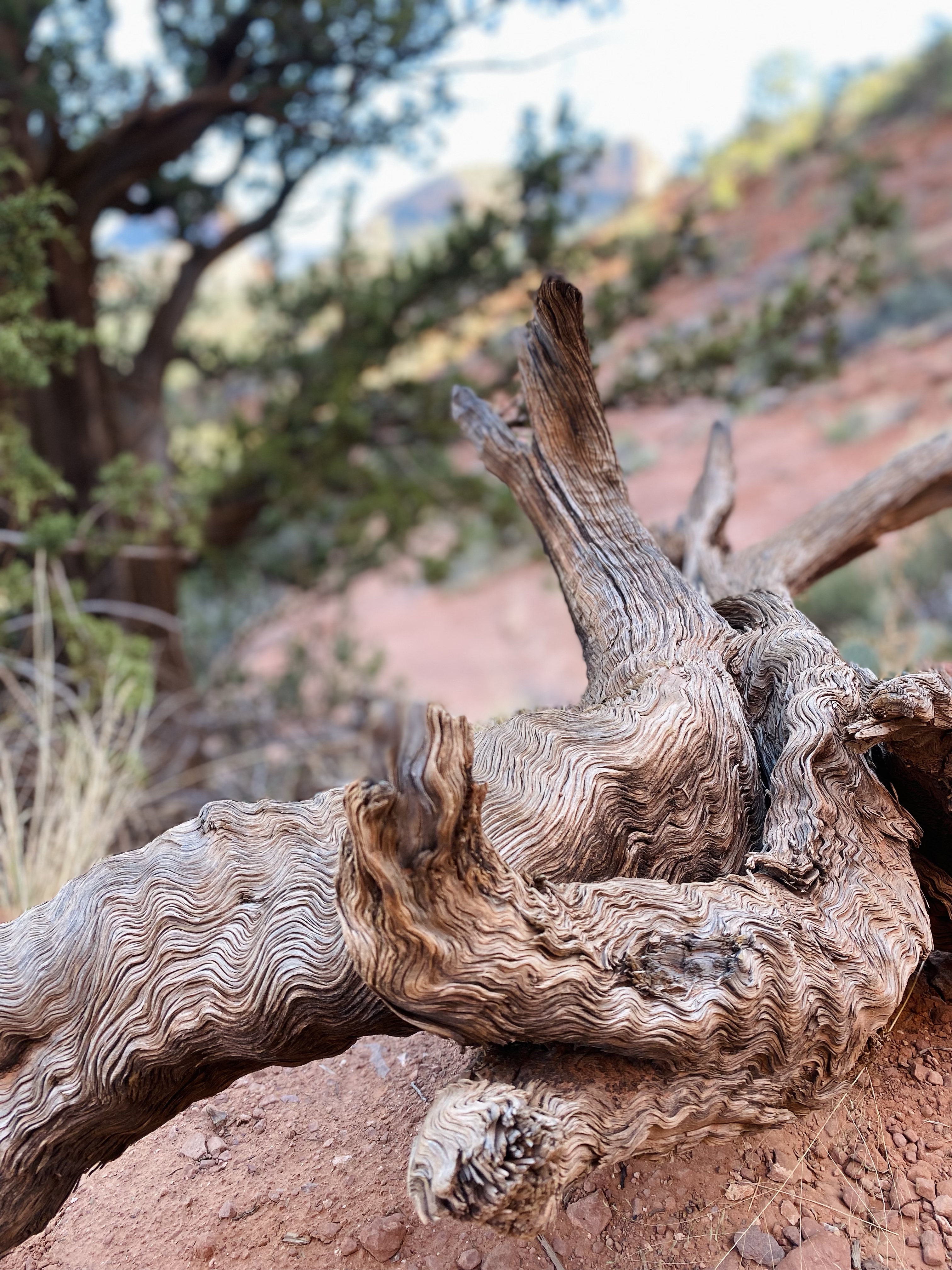
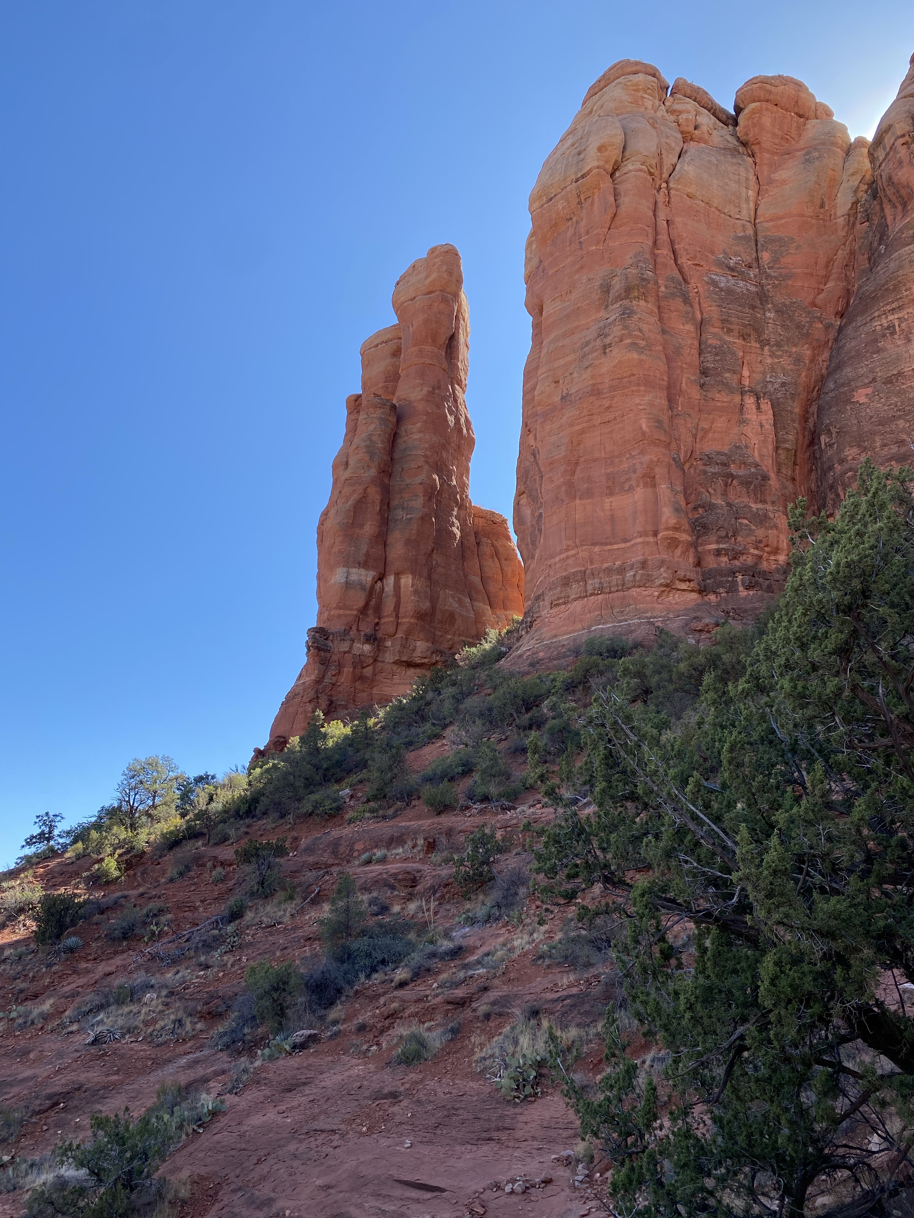
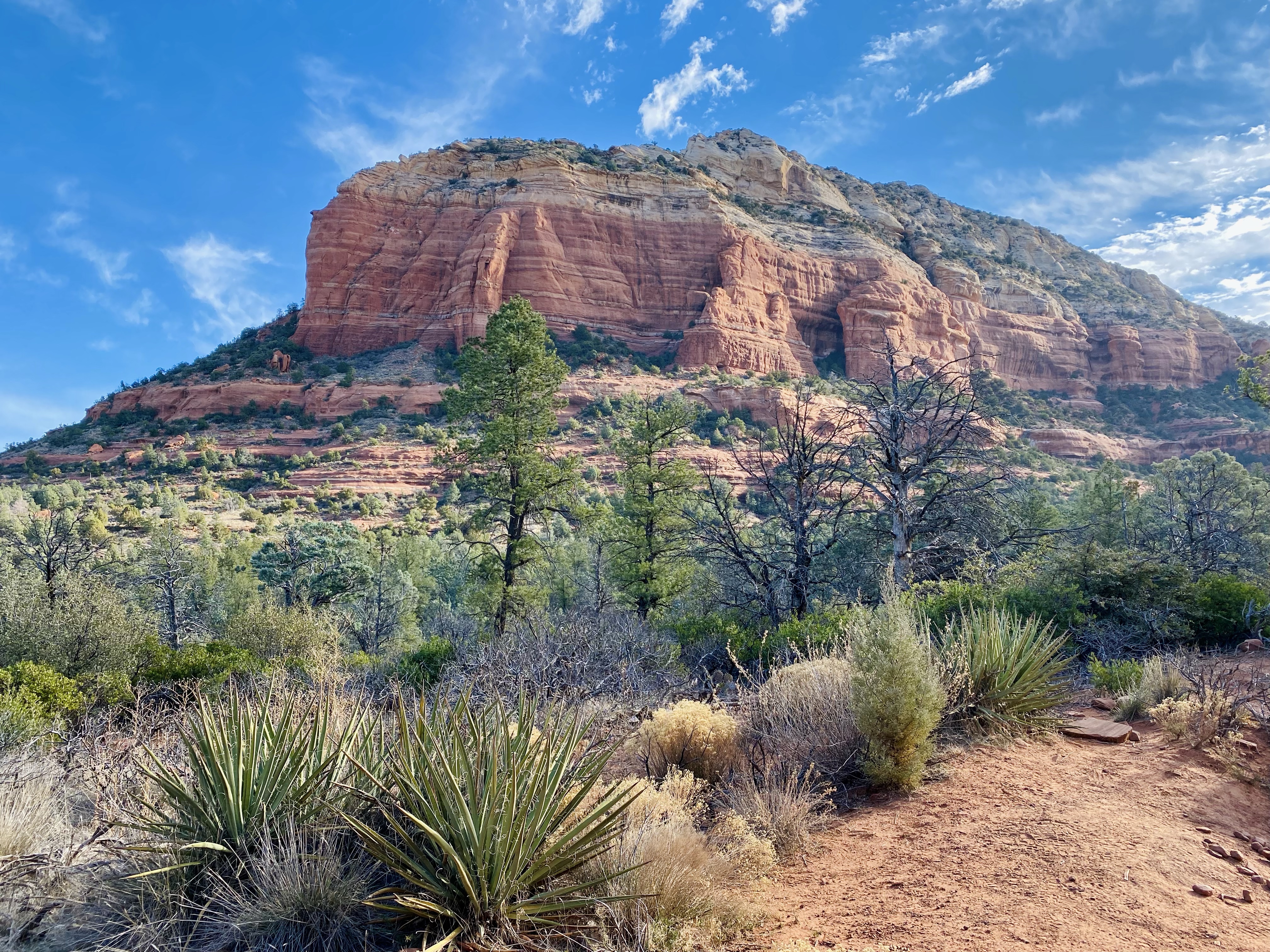
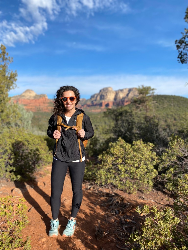
The landscape here is breathtaking, and I could feel the grounding, calming energy with every step. It was the perfect way to wrap up my wellness retreat, feeling strong, clear-headed, and deeply refreshed.

If you have one day to spend in Sedona, just know that it is an easy day trip from the Phoenix/Scottsdale area. I’m sharing a simple itinerary if you want to squeeze in hikes and see the area.

12 hours in Sedona:

Leave Phoenix by 6AM. If the timing is right, you can catch the sunrise as I did at Aqua Fria National Monument along the way. It was right off of an exit.

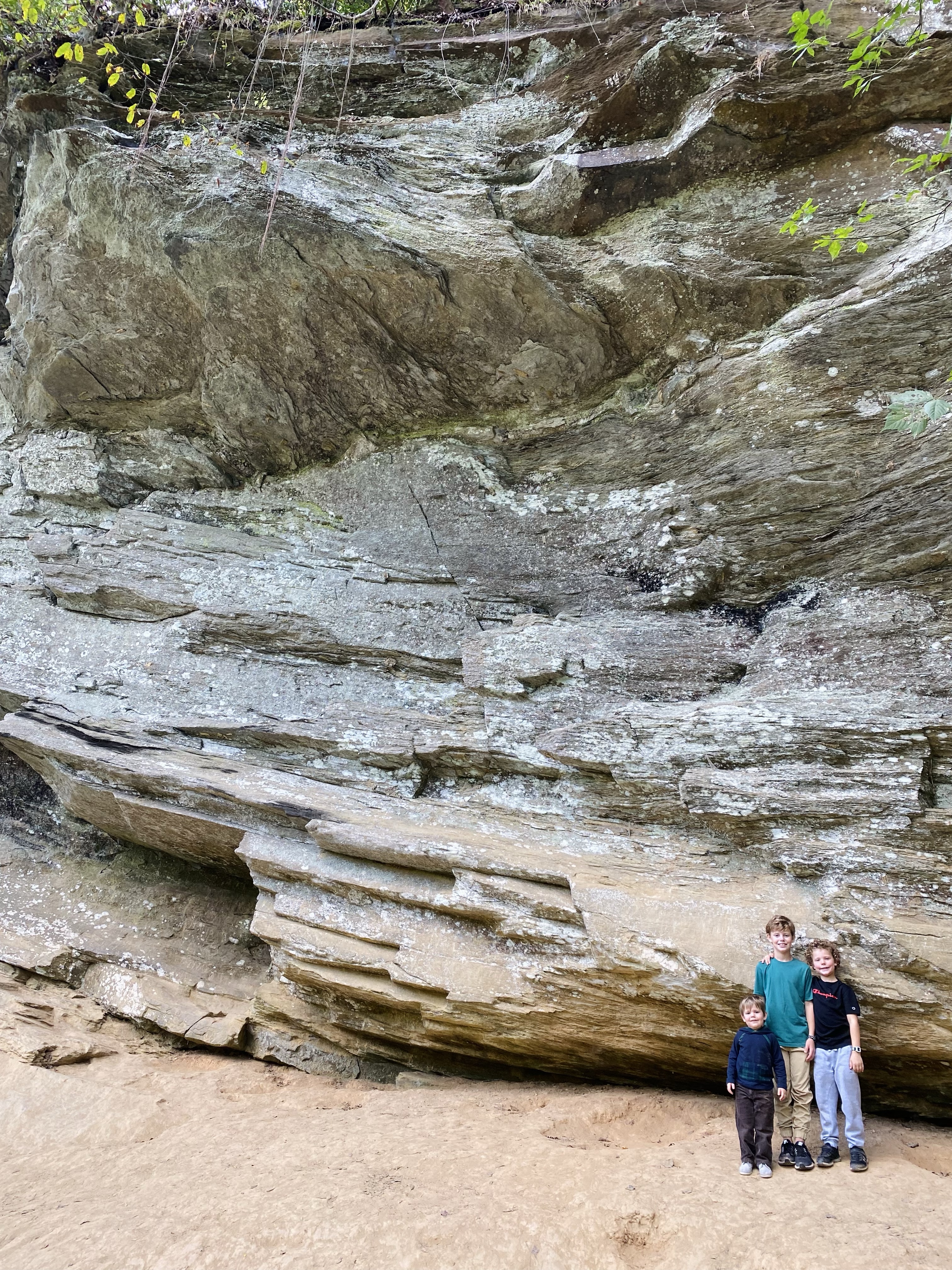
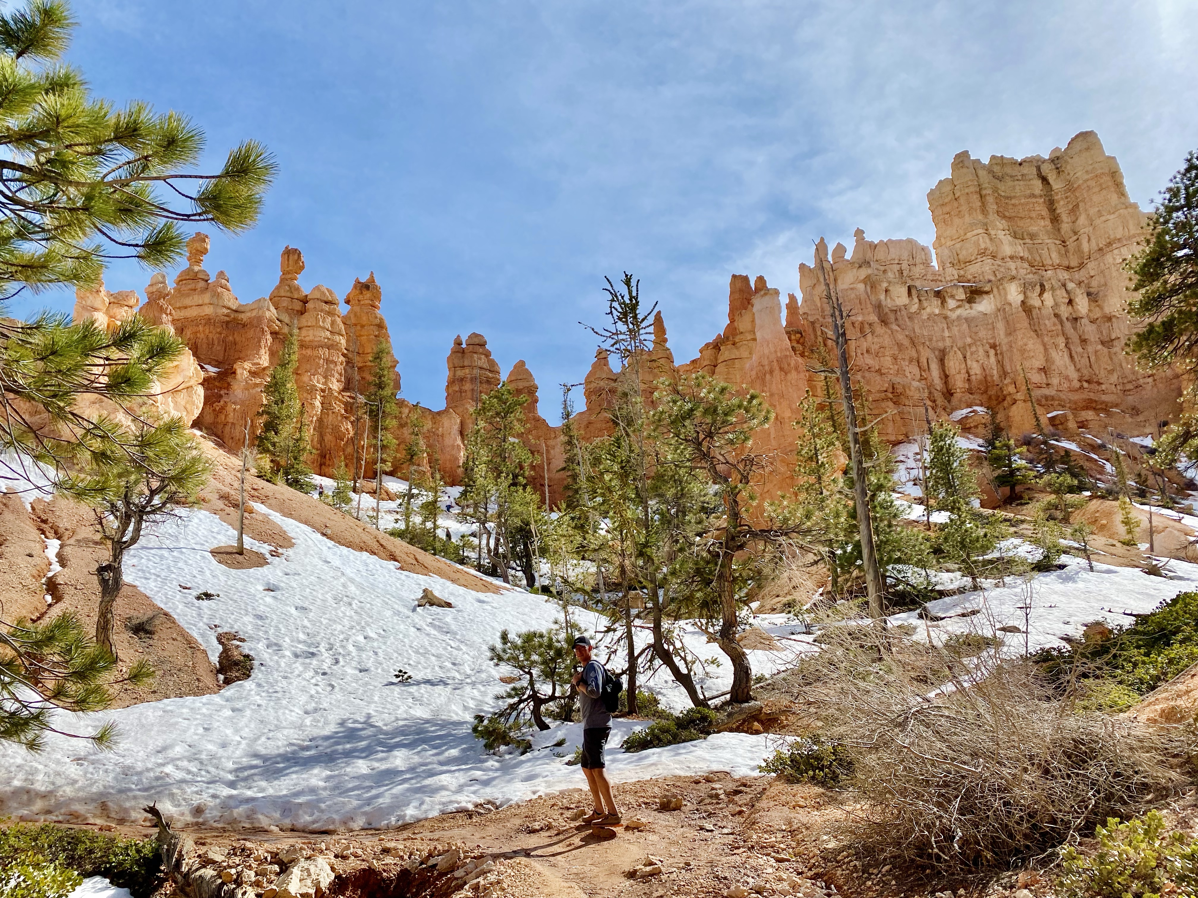
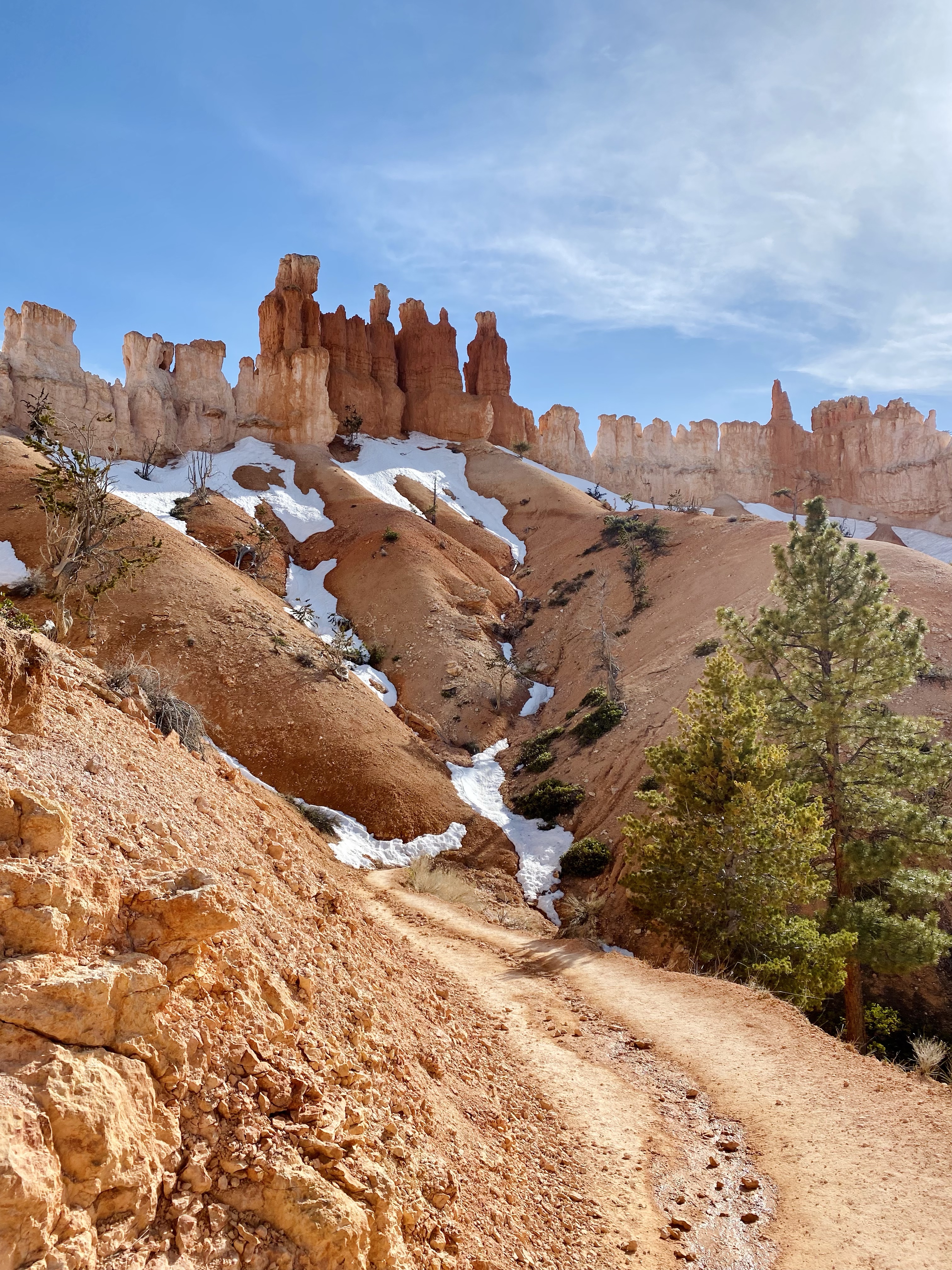
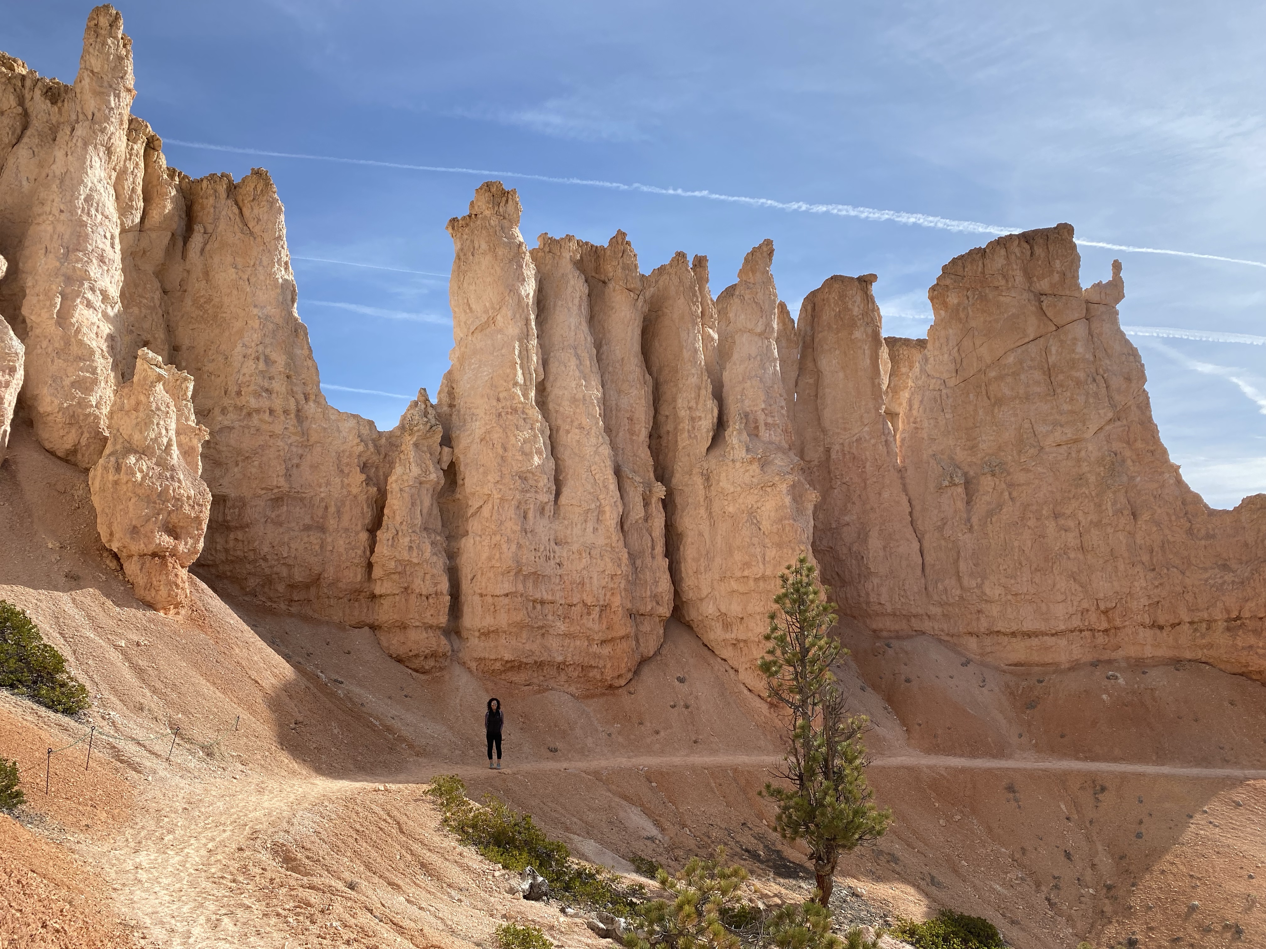
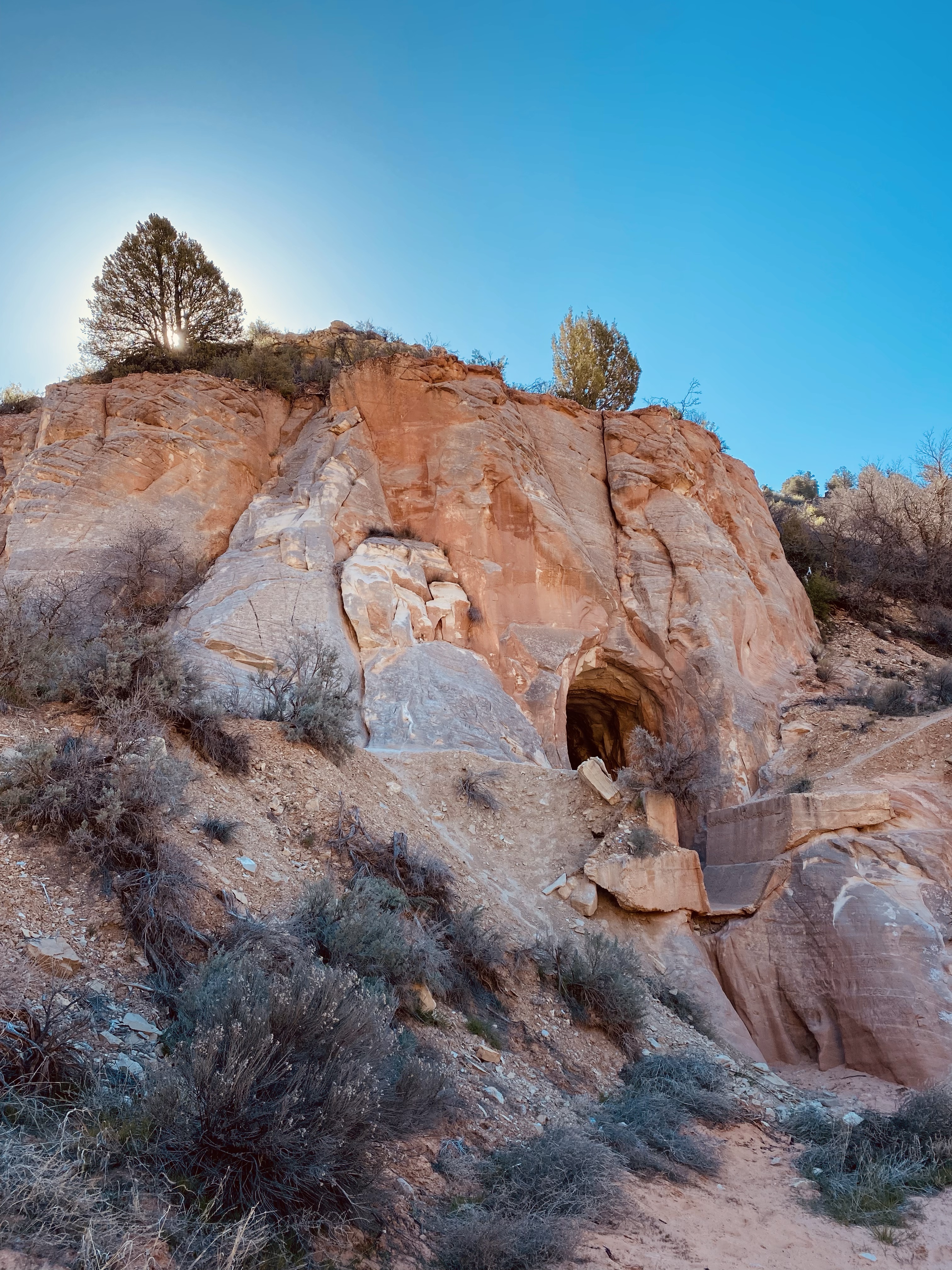
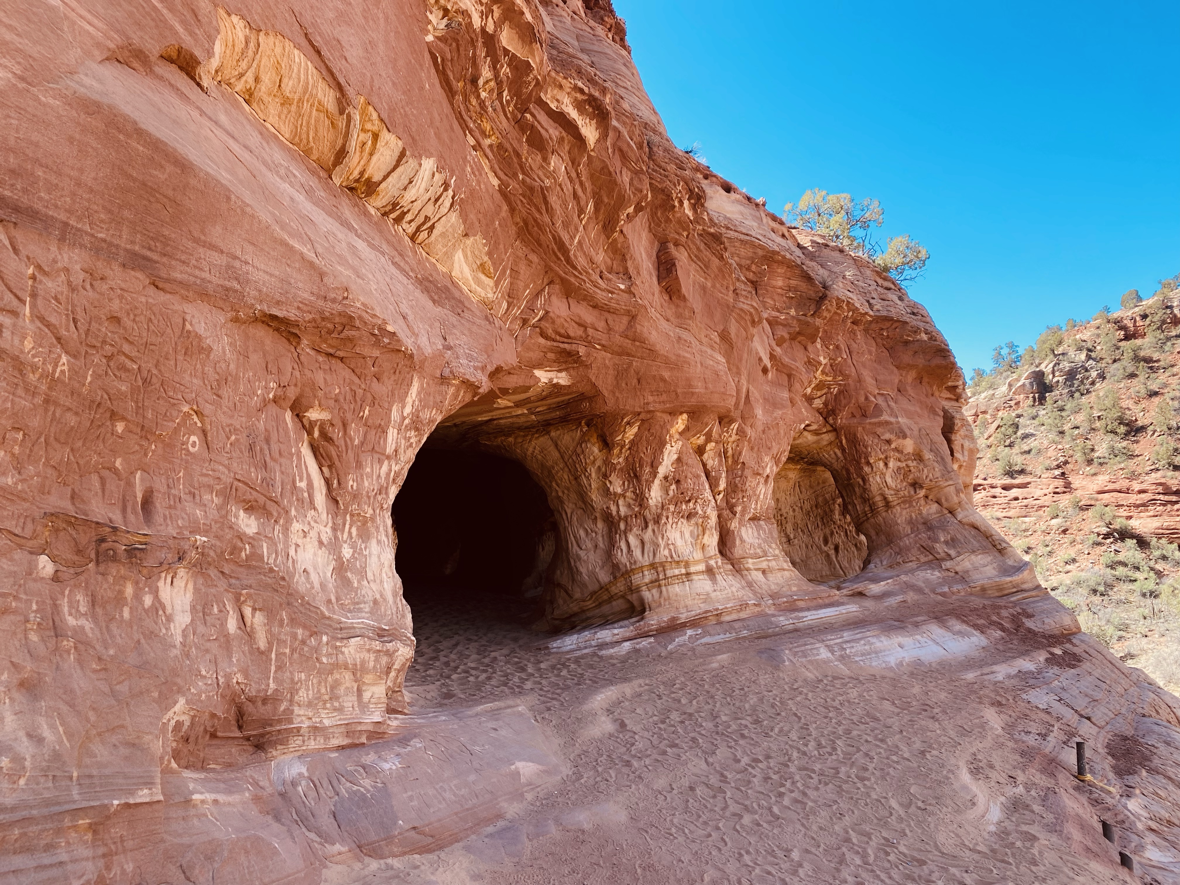
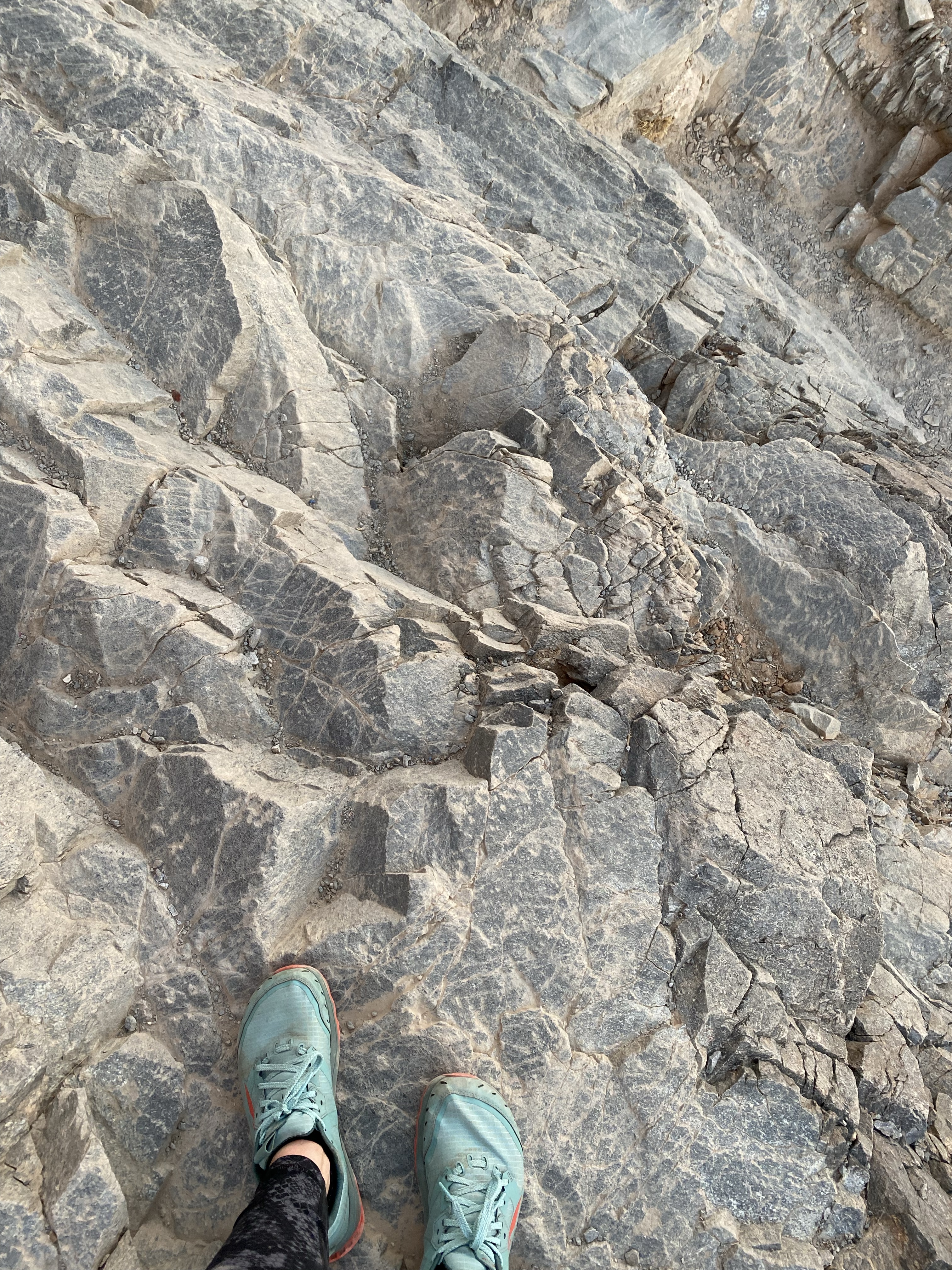
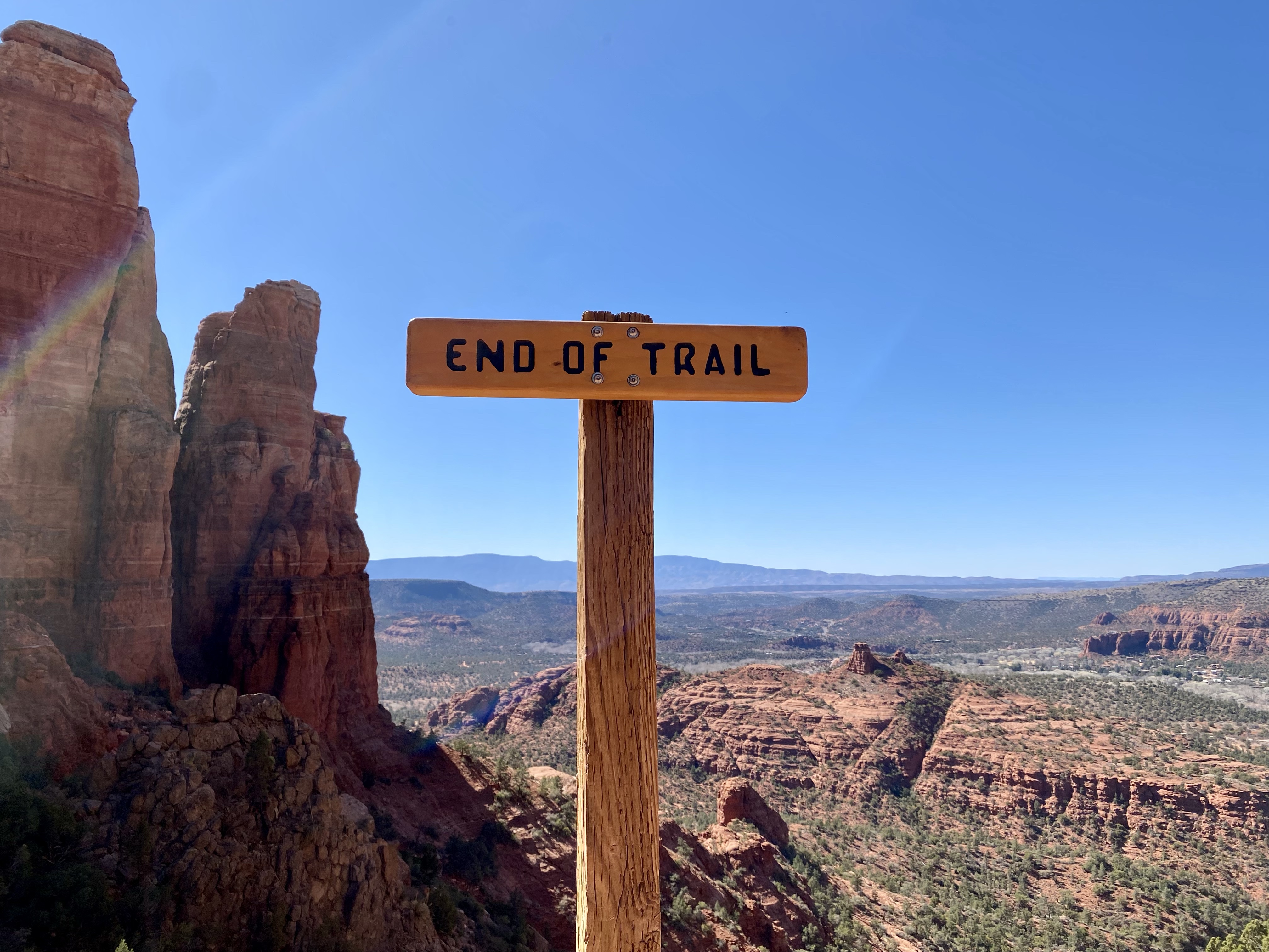
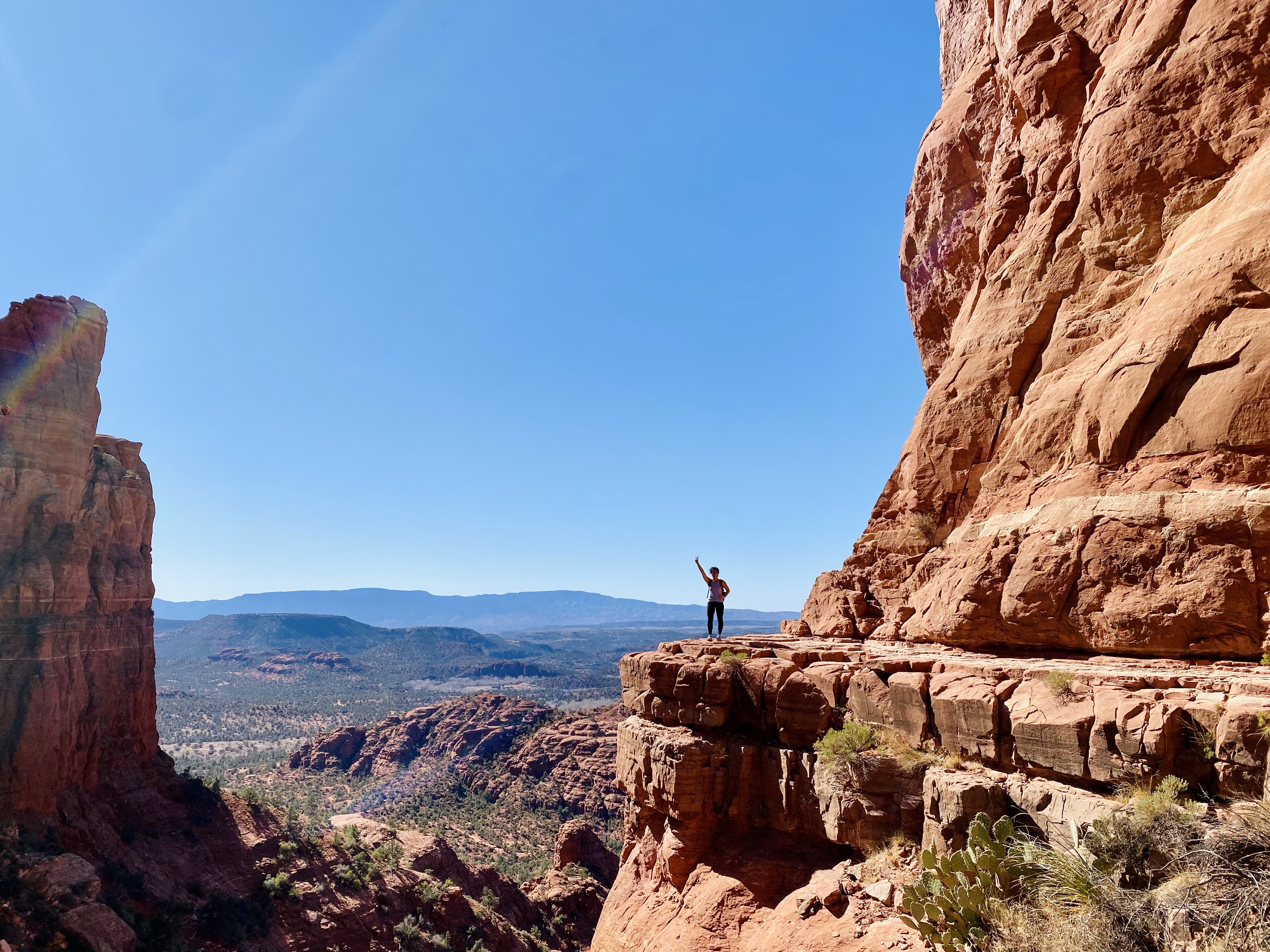
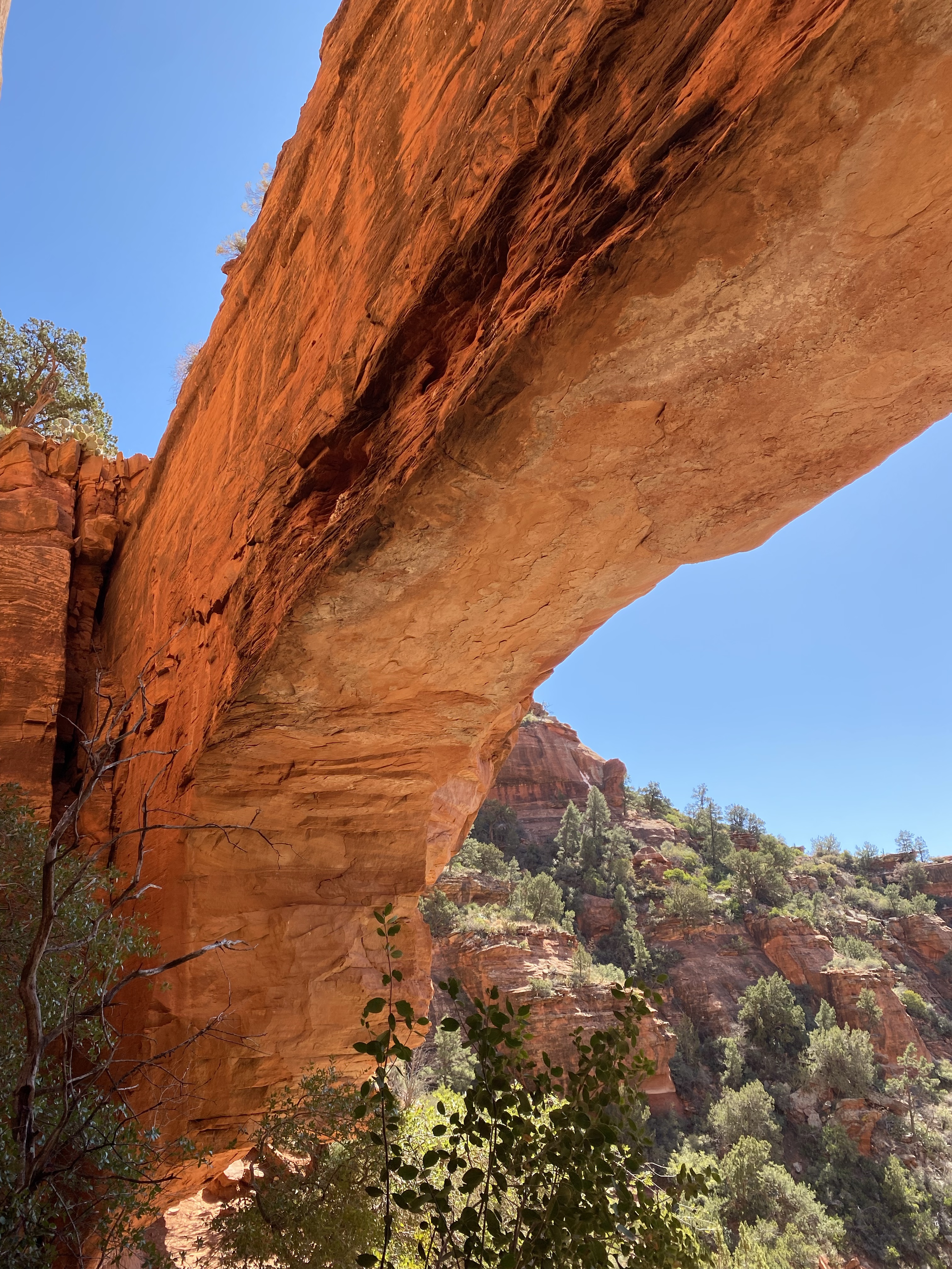
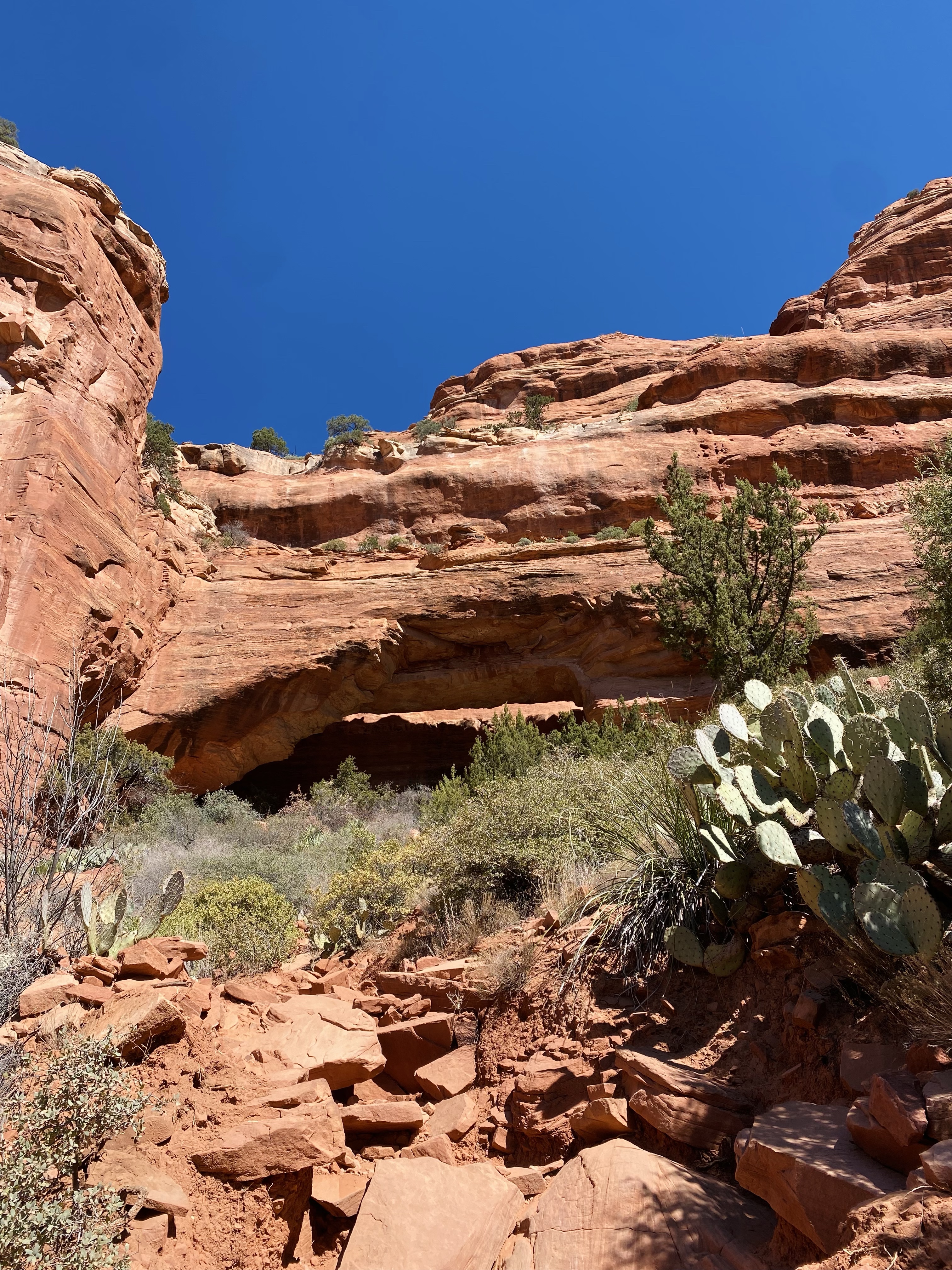
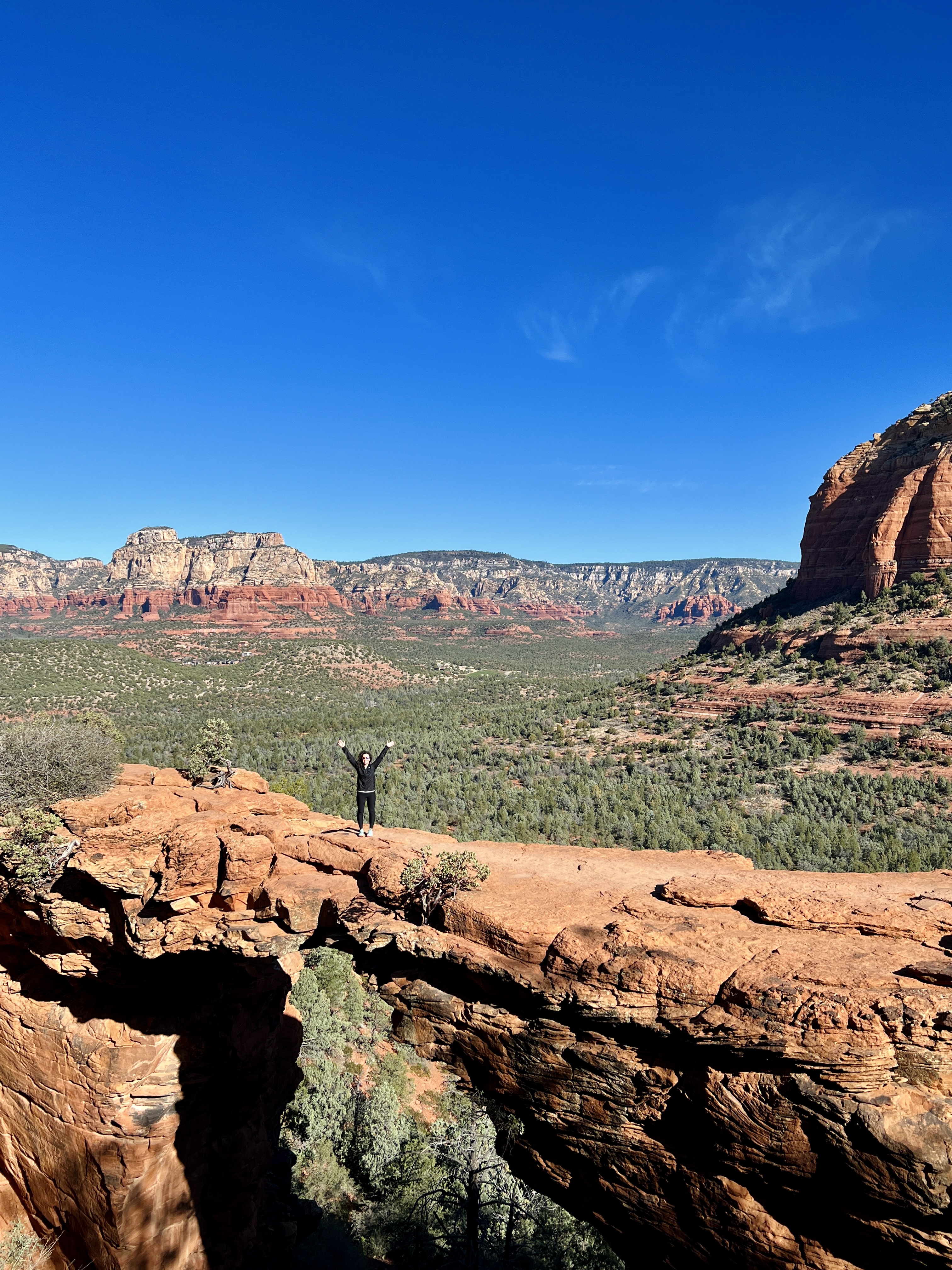
Arrive at Devil’s Bridge via Mescal Trailhead around 8AM and hike the beautiful trail. There is some rock scrambling as you get closer to the bridge but it wasn’t too difficult for a seasoned hiker. I would feel comfortable if our 3 sons were to hike it at ages 10, 8 and 4. Be sure you also check out the short trail that leads you to the underside of Devil’s Bridge. Allow 2 hours for this hike. During peak tourist season, you may need to allow more time if there is a long line to take picture on Devil’s Bridge.

*It’s not as narrow as it appears in pictures. It’s a wide area to walk across and again, I would be okay with our boys going on it but they would, of course, be holding our hands.

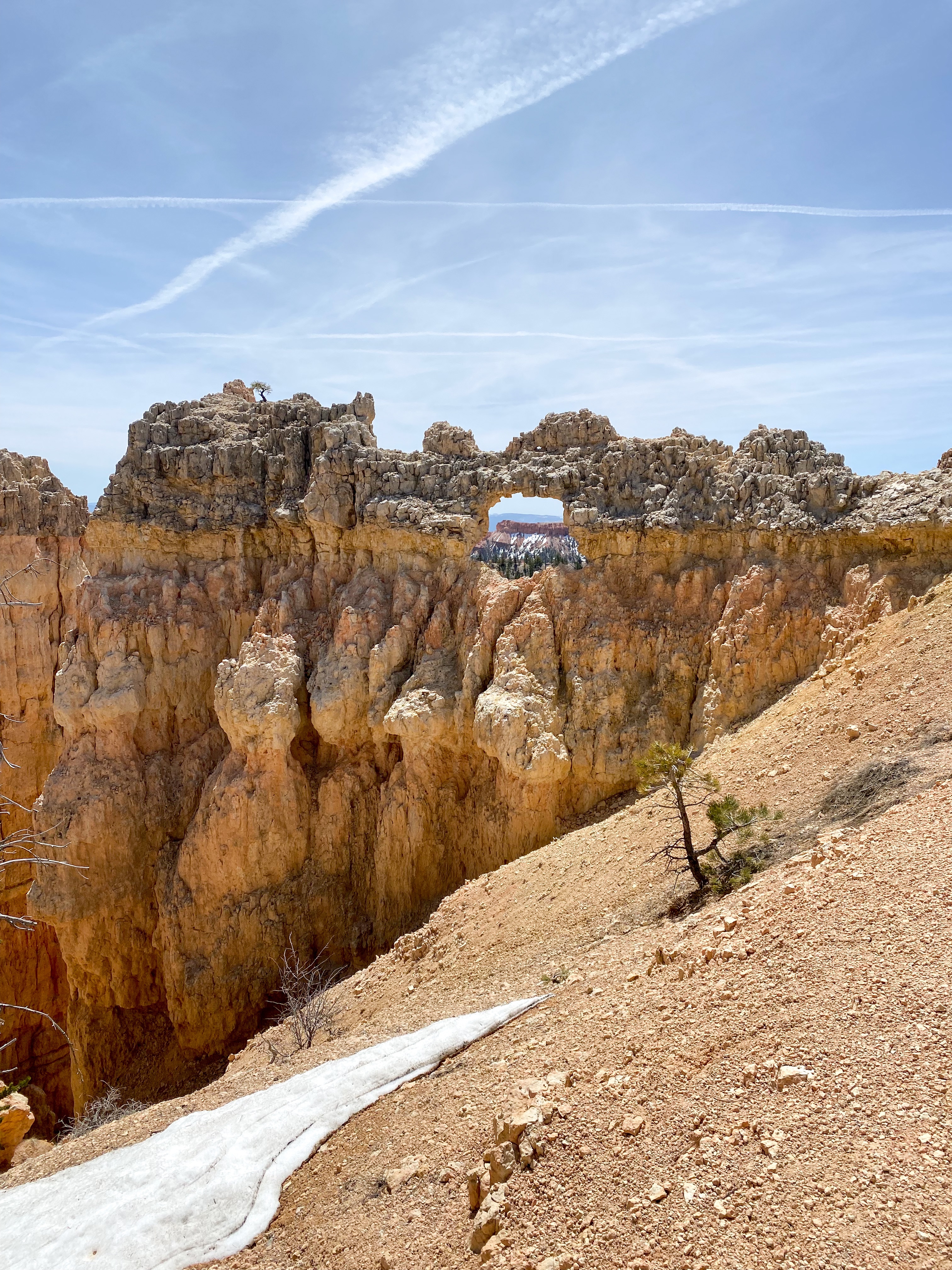
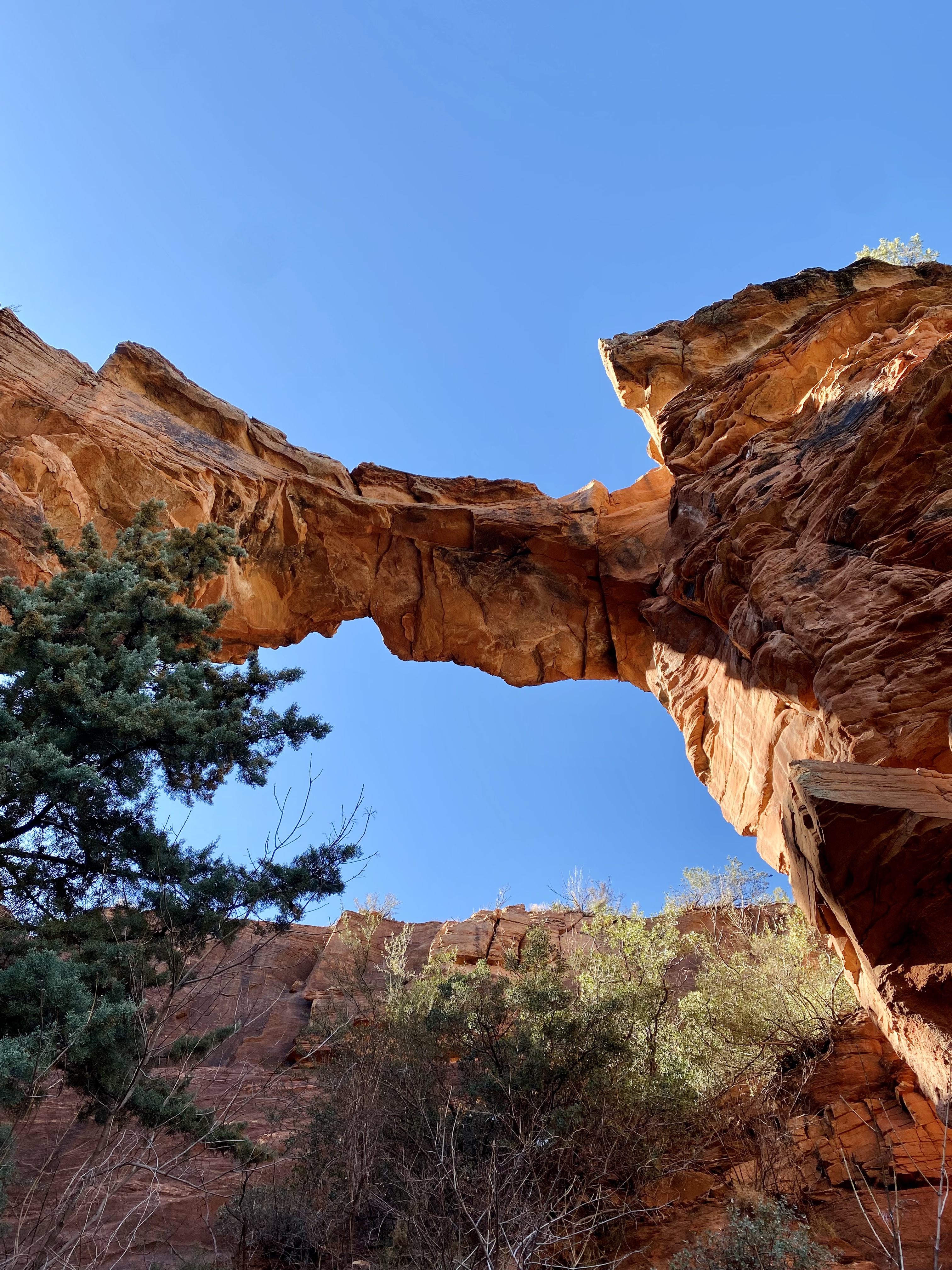
Drive to Fay Canyon Trail (10 Minutes) – This is a shorter hike. You can not miss the offshoot trail that leads to another arch. It is more scenic than the trail end of Fay Canyon. Allow 1.5 hours total for this hike.

Stop in town for a quick bite to eat or enjoy snacks you bring for the hikes as I did. I wanted to hustle to get in as much in as possible.

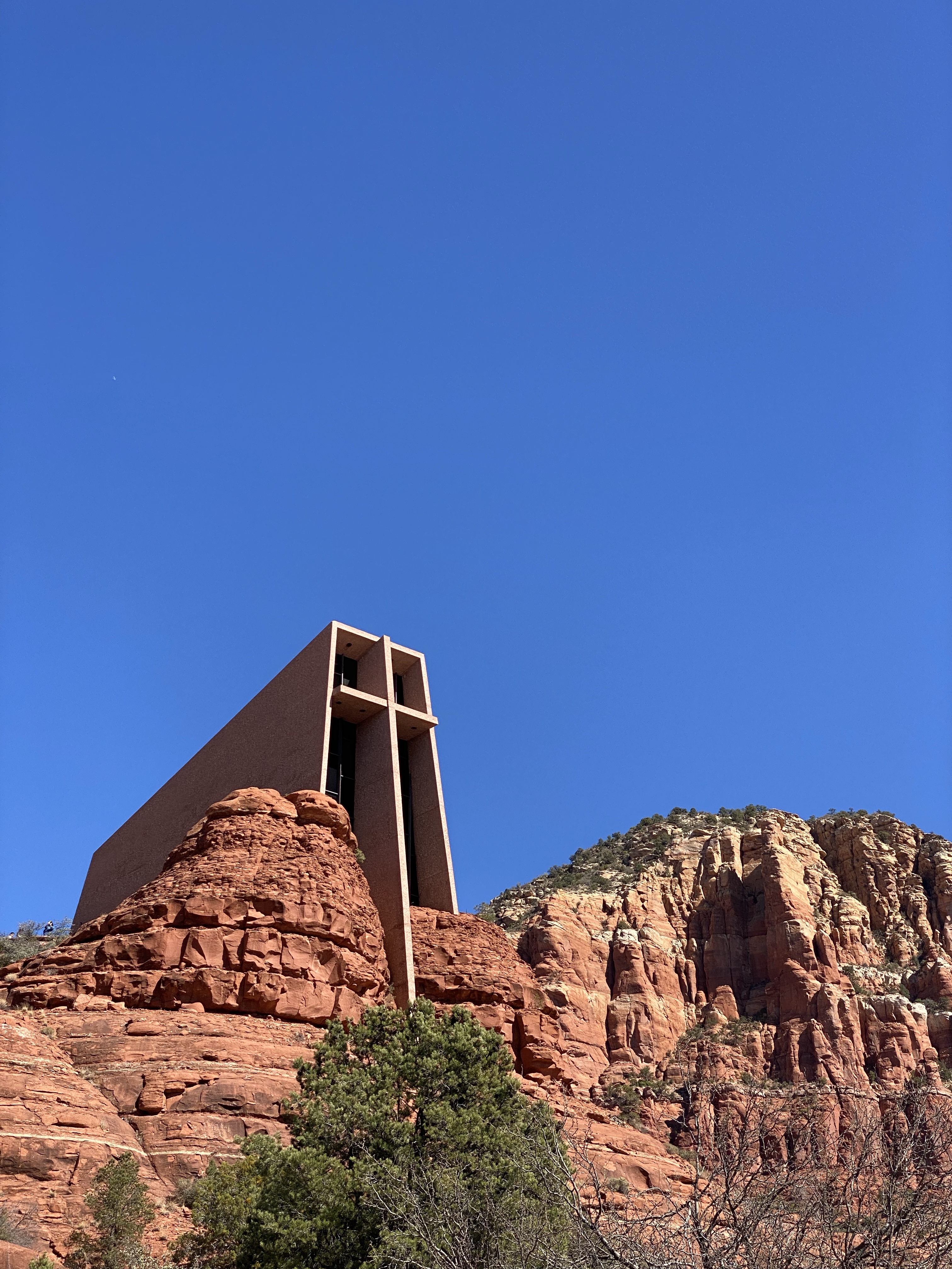
Drive to Cathedral Rock – 18 minutes from Fay Canyon. Pit stop at the Chapel of the Holy Cross that’s along the drive.

Cathedral Rock is considered difficult on Alltrails and I would agree. There is a lot of rock scrambling to get to the top. I pushed through the uncomfortable and challenging path to get to the top and I’m glad I did. The views were worth it.

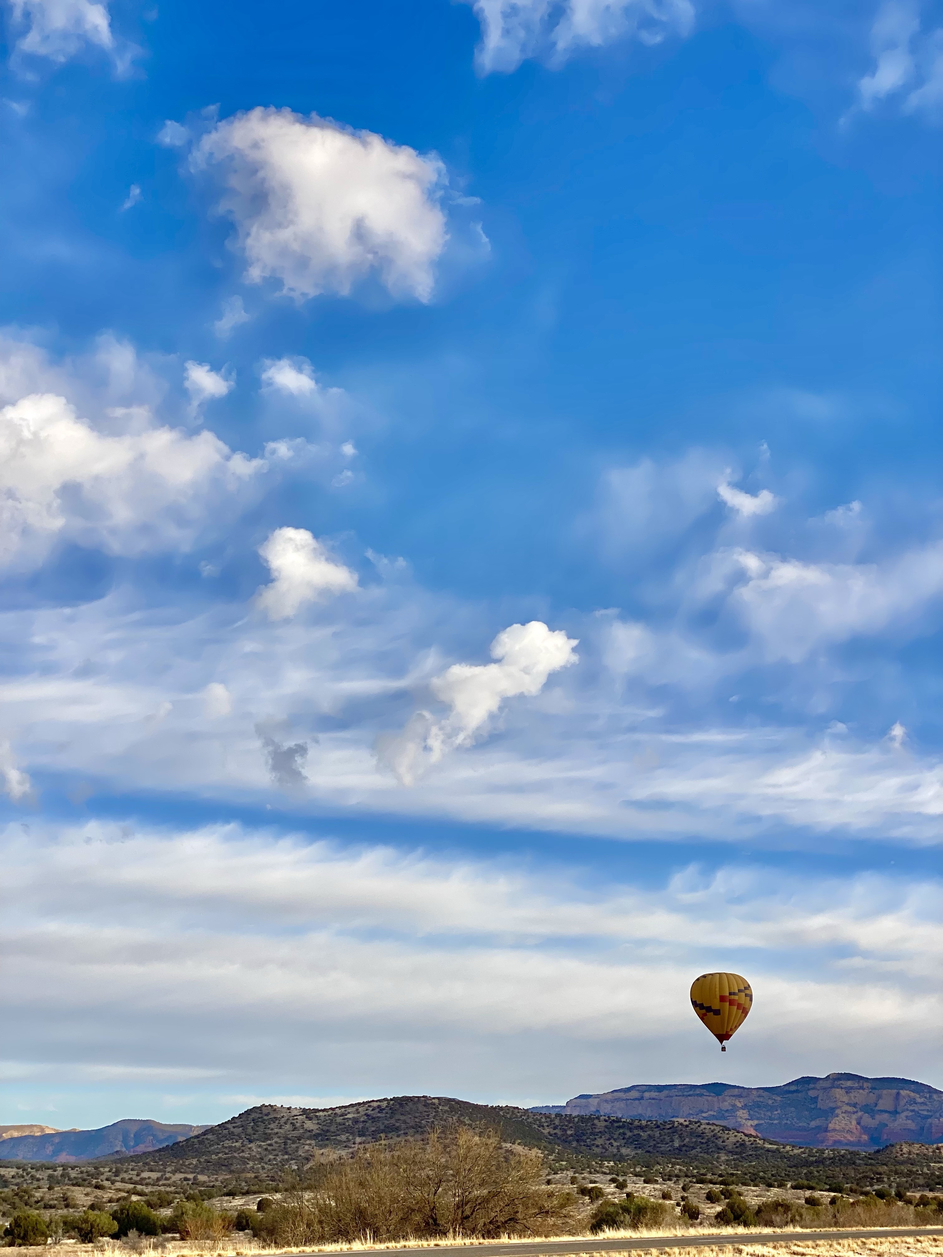
Drive back to Phoenix and enjoy the views along the way. If you’re lucky, you’ll see hot air balloons in the sky near Sedona.

Day 4: A Travel Day – But first, Get. Those. Steps. In.

Given the time I needed to be out of my rental, I had time to make a cup of coffee, relax in my private Oasis, then head out for another scenic run before I had to shower and prep for the airport.

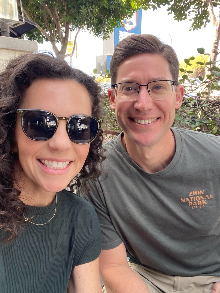
It’s kind of wild that Adam and I traveled so far together and didn’t spend much time, just the two of us, in Arizona. I did get the best surprise on the last night when he wrapped up work early and was able to join me at my rental for the night.

Final Thoughts: Why This Trip Was Exactly What I Needed

Stepping away from my normal routine and gifting myself these four days was one of the best things I could have done. Movement, nature, quiet moments, and intentional rest—this trip reminded me how important it is to carve out time to reset. So, thank you to all my friends for encouraging me to go when I almost backed out.

Whether it’s a solo getaway or just taking small moments in everyday life, prioritizing your well-being is always worth it. This is something that I have learned to not feel guilt over the older I get. At the end of the day, I know carving out this time will, hopefully, allow me to be present and live a healthier life so I can be here for our family.

If you’ve ever thought about taking a solo trip, let this be your sign to go for it! Everything you you normally have to do will be waiting for you when you get back. So, go on that trip. Take the time. Miss your family. Let them miss you. Then go back with a refreshed mindset and core memories that you’ll hold with you forever. (Especially if you’re celebrating a milestone birthday like I was). 💛

Would you take a solo trip for a wellness reset? Drop a comment—I’d love to hear your thoughts!

Crisp Air & Colorful Trails: Our Top Family Friendly Hikes in The Triangle

When I look back on my most cherished memories, from childhood to adulthood, so many of them were spent outside, immersed in nature. Adam and I have always loved to get out and explore new places, both locally and in our travels.

Our family dynamic has evolved with the addition of our three sons, who are now 10, 8, and 4 years old. What hasn’t changed is our love to get outside in nature and explore.

Bringing kids along can sometimes feel overwhelming, but I assure you, with patience and persistence, they’ll develop a love for the outdoors and enjoy exploring new trails with you.

Hiking, biking, scootering (this is a word, right?), and running different trails local to our area has lead us to find our favorite places that we frequently visit.

Here are our top 5 family-friendly trails that you should definitely add to your adventure list! Along with each trail, I’ve included a guide to help you determine if it’s ideal for walking, running, biking, or scootering—so you can pick the perfect path for your next outing.

Bass Lake Park – 🚶‍♀️ 🏃‍♀️ 🚴‍♀️ 🛴 (Greenway Path only)

This is a 2.02 mile loop, mostly mulched, that also has connecting access to the Carl Dean Greenway and Sugg Farm.

This is a beautiful trail year-round. In the summer and spring, everything is lush and green. In the Fall, the foliage is vibrant. Be on the lookout for wildlife year-round. We almost always see deer in the woods. We have also seen river otters, cormorants, and snakes in the summer but this is rare.

The main club house also has concessions available for purchase like various chips, cracker packs, ice creams, water and sports drinks. (Very inexpensive too) This is a fun fact you can keep in your back pocket if you need to encourage little ones to make it around the lake.

The kids will also love viewing the various reptiles and small animals they have inside the clubhouse.

If you are up for a longer distance, 4 miles out and back from the main parking lot, I highly recommend getting on the connecting greenway path. The kids take their scooters or bikes when this is our planned adventure. We often take the greenway all the way to Main Street Square where you’ll find a few shops but our favorite stop is Thanks A Latte. I can get a little pick-me-up and the kids share a baked good.

The greenway also connects to Womble Park in Holly Springs which is a great park for kids of all ages.

There are various workout stations along the greenway path that the boys love to rush ahead to find and try out. (Pull up bars, core bench, step-up boxes, ect.)

If you’re feeling really adventurous and are biking the greenway path, you can continue past Main Street Square and follow the sidewalk into downtown Holly Springs for shopping, lunch, and ice cream. I did this with all 3 of our sons one Saturday when daddy was out of town on a guys trip. We had the best day and felt like we were exploring somewhere far away from our home. We parked at Bass Lake, biked to Main Street Square (had a snack), biked to Smash Burger, biked to Fresh Homemade Ice cream, biked to Womble Park and played, then biked back on the greenway path to the car. Total mileage was around 8-9 miles. The older two did it with ease while the littlest was along for the ride in the carrier attached to my bike.

Fuquay Varina Greenway – 🚶‍♀️ 🏃‍♀️ 🚴‍♀️ 🛴
2-6 Miles

This is a mostly flat and paved path with a few gentle hills. Since it’s an out-and-back trail, you can easily adjust the distance depending on where you park and how far you choose to go along the greenway.

If you are to park in the main lot off of Hwy 55 in Fuquay Varina, you can follow the path all the way to the main lake which is 1 mile. There are benches and two swings at this point. If you continue past the lake and follow the pathway to the right, you will reach the High School. Continue around the school to the connecting sidewalk. Circling back around the school to the greenway path is 4 miles back to the parking lot. You can also park at the lot by ClubWorx gym but it will require you to cross Hwy 55 via the crosswalk. Parking here and following the path all the way around the high school will be 6 miles in distance.

Our boys love to take their scooters or bikes for this outing. Our youngest will often ride his balance bike but I still bring the stroller from time to time if I know he will teeter out and need to rest. Isn’t this how most walks go with toddlers? You end up carrying the gear of the tired little ones.

The boys sometimes fish at the kayak launch that is located on the lake.

Raven Rock State Park – 🚶‍♀️ 🏃‍♀️

You can choose trails of varying lengths, depending on how far you’d like to hike. Our favorites, which are probably the most popular, offer scenic views and unique rest spots along the way. We usually stick to the Little Creek Loop Trail and Raven Rock Loop Trail, which conveniently connect for a seamless hike.

To access the trailhead for Little Creek Loop Trail, park at the first lot on the right after you enter the park entrance. There, you will see an oversized picnic shelter. The trailhead is just to the right of it.

The boys love Little Creek Loop as it follows alongside the creek with several pathways that run off the main trail that connect to the creek which they explore. They enjoy jumping onto the larger boulders that are in some areas, skipping rocks, and looking for crayfish.
(Insert picture of boys on the rocks at the creek)

Don’t miss out on the stairs that lead down to the banks of the Cape Fear River. The rock walls and exposed roots of the trees are worth exploring.

Explore the various trails at Raven Rock here.

Hilltop Needmore Town Park – 🚶‍♀️ 🏃‍♀️ 🚴‍♀️ 🛴

This was a former golf course within a neighborhood community. The trails are paved and were once the pathway for golf carts. There are some steeper hills which can pose to be more challenging for the littles on wheels. It’s never stopped our boys from trying to make it to the top peddeling. Going downhill is no issue apart from my own anxiety as they fly down.

There are 5 miles of paved trails with varying elevations on each. Due to some construction of a new community center and elementary school, there is one trail section that is closed to pedestrian traffic. Stay current with closures on their website, here.

This is a beautiful park year-round. The large oak trees, rolling hills and ponds throughout provide for many scenic spots for picnics, leisurely walks, and wildlife watching. Whether you’re exploring the trails or simply enjoying the peaceful atmosphere, it’s a perfect place to connect with nature.

Lake Benson + White Deer Parks – 🚶‍♀️ 🏃‍♀️ 🚴‍♀️ 🛴
2-4 Miles

Lake Benson Park and White Deer Park in Garner, NC, offer a perfect family-friendly outdoor escape. The trails at Lake Benson wind along the shores of the scenic lake, providing peaceful views and ample opportunities for spotting local wildlife. We have seen several deer on our visits. The wide, mostly flat trails are ideal for leisurely walks, jogs, or bike rides with kids.

There is one gravel section that goes into the woods that I’d recommend doing if you are on foot.

You can also explore shaded picnic areas and enjoy any three of the playgrounds making it a fun outing for all ages.

While you’re in the area, be sure to stop by Holl & Stone. It’s located between Lake Benson and White Deer park. There, you can feed the llama, alpacas and other farm animals, shop fresh produce and plants then get a ice cream from their food truck.

As a family, we’ve found that these hikes not only help us get outside and move but also create opportunities for bonding, problem-solving, and even a little adventure. Whether it’s a peaceful stroll or a more challenging trek, there’s something for every energy level. I hope you’re inspired to lace up your shoes and hit the trails with your family. 

Bryce Canyon National Park – An ultimate 2 day guide

Many ask which National Park was our favorite between Zion and Bryce. If I’m being honest, I cannot choose either. They are both uniquely special and beautiful in different ways. Here’s a look back on our two days at Bryce National Park. If you missed the post on Zion, click HERE.

The drive from Zion National Park to Bryce National Park was only about an hour and 20 minutes at most. When we got closer to Bryce National Park, we were still in awe of how beautiful the Mt. Carmel Highway and scenic route was but little did we know, we’d continue to have those speechless moments when we saw hoodoos for the first time. I mentioned in the Zion post that we applied for the Coyote Buttes lottery when we were in the GEO range along the route from Zion to Bryce. See that post (toward the end) for more specifics if you hope to visit The Wave. You could also do this if your trip has you visiting Bryce Canyon before Zion.

Before entering Bryce National Park, you will drive through Dixie National Forest. This was the beginning of many moments when we were left, yet again, in awe of the sights surrounding us.

So much of Utah experienced more snow accumulation this Spring compared to the averages in years past. Lucky for us (because we don’t get much snow in our area of North Carolina), we saw a good amount of snow which had not melted as we approached Bryce National Park.

This made for a unique viewpoint and contrast of the hoodoos in Bryce with the snow that had not yet melted in contrast with the orange and tan hoodoo landscape. Seeing so much snow was fun for us. I also loved seeing my favorite type of Birch tree, the Paper White, nestled in the snow. It was quit picturesque.

Day I: Arrived in Bryce Canyon National Park by 12:30

We entered the park and went straight to the visitor center to look around and get confirmation on trail closures which are posted on a board daily. We also wanted to talk to a Park Ranger to confirm which hikes would be best to tackle the two days we were there even though we had pretty much decided what we thought was best.

Hike goal for the day: Peekaboo Loop Trail (5.5 Miles), Queen’s Garden Trail, Part of the Navajo Loop trail that was still open, Two Bridges Trail, and part of the West Rim Trail, and that leads you to the start of the first trail. This was approximately a 13 Mile total hike day.

You can view the trail map and descriptions of hikes HERE.

First, we decided to drive to the furthest point on the scenic area route that we wanted to see and then backtrack to park and begin our hike. This also gave us the opportunity to get our bearings of the park and possible lots with more parking.

Natural Bridge and Fairview Point were our first two scenic stops. They are located approximately 12 miles from the visitor center.

We decided to park at Inspiration Point which was a higher elevation overlooking the amphitheater. The views are incredible. Pictures cannot do justice of the scale of the amphitheater. Note, you will walk on the Rim Trail along the edge of the amphitheater until you reach the Queen’s Garden Trail entrance. This is mostly downhill so keep that in mind as the hike from this point to return is an out and back.

We weren’t able to hike the Navajo Loop Trail because of the melted snow that washed away most of the trail. We were still able to see the popular area from both the top and the base of the Navajo Trail. The switchbacks on the Navajo Trail are a popular highlight for many hikers but you will also experience views and hiking switchbacks on both the Queen’s Garden Trail and Peekaboo Loop Trail.

Bonus: Peekaboo Loop is a longer hike and considered strenuous. We felt the difficulty while hiking it as you ascend and descend a lot. We hiked the trail in a counterclockwise direction which, as I’m looking back on the park map now, it was recommended to hike clockwise. Given our experience and the views we had, I’d actually recommend hiking counterclockwise as we did.

See why from these views:

We’re so glad we pushed ourselves to hike one of the longer trails in Bryce on the first day and highly recommend it. Because there are so many places to stop and viewpoints to take pictures of along the way, you’ll have moments of rest throughout the hike.

You will also look forward to getting back to your car to sit at the end. Our leg muscles started twitched the moment we stopped and sat.

From here, we checked into our AirBnB in Tropic, UT which is only about a 20 minute drive. It’s a very small town with only a couple options for dining. The first night we ate at Rustler’s Restaurant. We barely made it before they closed but they happily served us. Adam ordered a Ribeye with sides and I ordered a grilled chicken Caesar salad. When you are as hungry as we were, it was an exceptional meal, particularly the fresh baked bread loaf they brought to the table.

We identified the only location we’d be able to get coffee in town first thing the next morning and made our way back to our AirBnB.

Day 2: Fairyland Loop Trail (8 Miles), plus The West Rim Trail out and back, totaling a 10 mile hike day.

We heated up oatmeal and leftover egg white and veggie omelets from our Zion hotel, I made lunches and packed snacks in our Camelbaks for the day and we headed for coffee at Bryce Canyon Coffee Co.

We decided to park at Sunset Point, hiked part of the Rim Trail until we reached Fairyland Point. There was a lot of areas on the furthest part of the Rim Trail that had muck and deep muddy areas. We passed a few people whose entires shoes looked like clay but realized they intentionally walked straight through those areas instead of making a path around them. You do you.

Fairlyland was widley different from the first day hiking in Bryce. The color of the hoodoos for one, was much lighter and almost a sandlike color. We also had more open trails with wide open views and weren’t down in the amphitheater looking up as we had the day prior.

We crossed one creek area that had the most beautiful pink rocks.

The coloring from the rocks and variations you see in the hoodoos are because of their mineral composition.

Do you know how the hoodoos come to be? They started out as a wall and over time, you will see a “window” form. As time continues, the top of the window breaks away leaving you will the individual hoodoos. If you want to read more on the history, this is a great source.

We felt this hike was much easier compared to Peekaboo Loop however, it’s much longer. It’s still considered strenuous on the trail descriptions.

We hiked relatively quickly and were done by lunch. We ended up eating our picnic lunch at Sunrise point and checking out the Bryce Canyon Lodge. There weren’t any available accomodations when we were booking our trip but I’d recommend looking into this when you’re planning in advance.

My mom had told us The Lodge had a restaurant that she remembered seeing when they visited and suggested we check it out. We looked at the menu, confirmed when they opened for dinner, toured the gift shop then headed to our AirBnB to regroup, rest and shower.

After a quick power nap, we decided to venture into another neighboring town that my parents stayed in, Panguitch. At this point, we were in search of finding another coffee shop in hops we’d make it to dinner.

The Flying Goat Cafe was our first stop in town. We walked to a couple restaurants down the street to check out their menus but decided pretty quickly that The Lodge was were we wanted to have dinner and planned to watch the sunset from Sunset Point overlooking Bryce Amphitheater.

Panguitch has a super cute downtown area with shops, restaurants and a couple Bed in Breakfasts, one of which my parents stayed on their trip the year prior. We ventured into two antique stores and had the best time looking at all of the vintage items. We shared memories with each other each time we saw something that reminded us of a grandparent, family member or a specific memory from our childhood. It was the perfect slow afternoon.

We made our way back to The Lodge for dinner as the restaurant doesn’t take reservations and seating is available on a first-come-first-served basis. Be sure to look at their menus!

Our meal was one of the best we’d had on the trip. Highly recommend it when you’re visiting Bryce. Don’t worry about being dressed up either. We saw a mixture of everything, people still in hiking attire (us included), and those who were dressed in casual dinnerware.

Two long hiking days in Bryce, we felt like we’d seen it all. We were ready for out next adventure, staying at Under Canvas in Page, AZ, visiting Antelope Canyon, Horseshoe Bend and more. We had a couple of stops planned along the way to Page which I’ll share in the next blogpost.

Our time at Under Canvas was unlike anything we’d ever done and was EVERYTHING we needed. Here is a peak at what I’ll share next.

Zion National Park – An ultimate 2 day guide

We spent more time in Valley of Fire State Park exploring than we anticipated but ultimately, we made our own schedule and didn’t rush through seeing all that we wanted to on our way from LAS to Zion National Park.

Day 1: Afternoon/Evening in Zion after arrival

After leaving Valley of Fire State Park, we drove to Springdale, UT which is a quaint town near the South entrance of Zion National Park.

It was around 4PM when we arrived to our hotel, Holiday Inn Express, which included a free (and healthy) continental breakfast every morning. For example, egg white and veggie omelets, fresh fruit choices, greek yogurts, oatmeal, DIY Waffles and pancakes, turkey sausage, freshly brewed coffee and a filtered water station to fill up your camelbaks and water bottles for a day full of hiking.

Springdale has a lot to offer including a complimentary shuttle service, shopping, restaurants, coffee shops, a brewery on the Virgin River and a greenway to walk/run or ride e-bikes.

After settling in to our hotel room, quickly walking the property grounds outside and resting for a little while, we were anxious to head out and hike one of the shorter trails that had promising views overlooking the town of Springdale.

A quick 5 minute drive to the South Entrance of Zion National Park, we handed over our National Park pass to be scanned, the ranger offered us a map (you will want this as it includes all of the trails, discriptions/difficulties and what stop you’ll need to get off for the shuttles to access each), and parked at the Visitor Center.

Watchman Trail – 3.4 Miles roundtrip. My watch calculated it was a bit further than that at 3.75 Miles which may have been because we did a smaller scenic route once we were at the top (definately do this…you will have better views) and we walked part of the Pa’rus Trail along the Virgin River which connects you to Watchman Trail.

We started this hike around 6:15PM and knew we needed to hustle before we lost daylight as the sun dropped behind the mountains. It probably only took about 45 minutes to get to the top and left us with plenty of time to take in the beautiful views.

We only passed a handful of people on the trail which was so peaceful. Having 3 boys at home that are all talkative from sun up to sun down, one of the first things we noticed while hiking either late evening or early mornings was the noticeable quiet all around.

We decided on a dinner spot, The Spotted Dog, and ended up having one of the best meals of our entire trip. Please go and ask for Freddy if he’s working. He was our amazing server and lead us to our dinner choices but more importantly, we had a wonderful time talking to him about his life and what lead him there, how much growth that has happened in the area in just a few years, and how it’s impacting locals.

Refueled with good food & a delicious cocktail, we were more than ready for a solid nights rest.

Day 2: Up and at ’em – Breakfast eaten by 6:30 and in the car to snag a parking spot at the visitor center to catch the first shuttle in Zion departing at 7AM. Our day’s objective was to see Angels Landing before the crowds.

Take the Zion Shuttle – Zion Canyon Line to Stop 6, The Grotto

Begin hike toward Angel’s Landing taking The Grotto Trail (1 Mile) to the West Rim trail which leads to Scout Lookout (4.2 Miles roundtrip) and Angel’s Landing (another .5 miles).

*Note* A permit is required to hike past Scout Landing and continue to Angels Landing. (Apply Here) Also keep in mind the difficulty and nature of the remaining .5 mile hike to Angels Landing. The most difficult part of the hike (for those afraid of heights) is the half mile out onto the ridge and back. Sheer drop-offs extend downward on both sides of the path in places. Some rock scrambling is also necessary. You will also have to hold onto the chain railing.

As you wind up the West Rim trail toward Scout Landing, the pathway will have many switchbacks leading up. The views continue to get better as you climb. This is one of our favorite viewpoints along the way.

Walter’s Wiggles is also another popular area on the trail.

After reaching Scouts Landing, there are restrooms and views that will take your breath away. You can continue right on the trail toward Angel’s Landing if you have a permit or left on the trail to continue on the West Rim trail as far as you want to hike. Keep in mind it’s an out and back trail so you have to hike back the way you came.

We continued on the West Rim trail and were quickly stopped by the rare sighting of two California Condors. We stood and watched them in complete awe.

While hiking the West Rim trail, I met a local couple who said “Angels Landing is so overrated. The West Rim trail is so much better and doesn’t have all of the traffic.” Hearing her say that made me feel better about our decision to not apply for the permit to hike Angels Landing. Pre-kids I wouldn’t have hesitated but something happened after kids and I have become too anxious when it comes to certain risks.

We had a picnic lunch/snack from this area on the rim trail and I have to say, the views didn’t disappoint. We were also alone until we packed up and began hiking again.

We probably hiked 2 miles on the rim trail before deciding we were ready to make the trek back down to our starting point and head to our next destination. The Condors were still on the trail and showing off.

It’s fun to hike the trail back down to see the views from a different vantage point.

Back at The Grotto stop for a bathroom break, we hiked the Kayenta Trail (2 Miles) leading us to the Emerald Pools trails. After taking the advice from a couple we met, we only did the lower and middle trails as they said the upper didn’t offer different views and there are no visible falls from that point.

Lower Emerald Pool Trail – 1.2 Miles

Middle Emerald Pool Trail – 2.2

Upper Emerald Pool Trail – 1 Mile

The Middle Pool Trail leads you back to The Zion Lodge which is another shuttle stop. Here you will find a restaurant that is a part of the Lodge, a gift shop and restrooms.

Next, we took the Zion Lodge shuttle from Stop 5 to the final Stop, 9, Temple of Sinawava.

Riverside Walk (2.2 Miles) – Takes you to The Narrows. Unfortunately, we couldn’t hike The Narrows as the water flow in the Virgin River was around 1400 CFS (cubic feet per second) and they require the flow to be 150 CFS or less for 24 hours before hiking is permitted. The extreme snow fall this winter caused the water flow to be at such a high volume.

This just means we will have to go back to Zion, right?!

Get back on the shuttle and stop at Big Bend, Stop 8, which is only available on the down-canyon shuttle. Take pictures and get back on to stop at the next stop, Weeping Rock. This .3 mile out and back trail is an easy and accessible trail for most anyone.

The shuttle service is an enjoyable scenic ride that also plays tour guide audio along the journey. We learned a lot about the sights we were seeing along the way that we had not already read in our research.

At this point we had hiked around 12-13 miles and it was only the early afternoon. We took the shuttle back to our hotel, had a much needed rest, then got ready for an afternoon/evening exploring Springdale.

Dinner at Bit and Spur Saloon – Walking distance from our hotel, we took the leisure stroll over to the restaurant. We had no trouble being seated right away but also discovered you can walk to their back property to seat yourself at one of their outdoor tables and order food from their taco truck and drinks from the outdoor bar. We requested to be outdoors and were able to enjoy the outdoor space on such a beautiful Spring day. It was kid friendly with open space, corn hole, a stage for live music performances and room to roam around. The views weren’t too bad either.

I ordered their seasonal margarita, Prickly Pear Margarita, which used locally harvested fruit. It was so delicious, we got a second after dinner.

Day 3: Observation Point (8 Mile loop) or Drive toward Bryce National Park. Unfortunately, access to this hike was closed as the trail was obstructed by a fallen boulder so we pivoted and began our drive. I read the views are worth the hike so try to incorporate it in your itinerary if you can.

Zion-Mt Carmel Highway – Arguably the most scenic drive in the entire national park system, this 26 Mile route winds around and through colorful rock formations, sweeping views, seasonal waterfalls and switchbacks. There are several scenic pull offs along the way. It’s hard to not stop at each one as remarkable beauty is all around and will leave you nearly speechless.

You will come to the Zion-Mt Carmel Tunnel along the way. Once we passed through, we immediately noticed a slightly different change in the landscape.

If you hope to see The Wave in Coyote Buttes, you’ll have to apply for either the advance lottery 4 months prior or the daily lottery. You can apply for the daily lottery when you’re in range of the GEO mapped area only. You need to apply 2 days prior to when you hope to visit.

For us, it worked out perfectly to apply when we were in route from Zion to Bryce as our itinerary had us in Bryce for 2 nights. Should we be accepted, we would stop in Coyote Buttes on our way to our next overnight destination in Page, AZ.

Mt. Carmel Junction on the way and is where we applied online, here. Our hope was that we would be accepted giving us entry to Coyote Buttes after our 2 days in Bryce National Park. Our lottery entry wasn’t selected so I was even more thankful we had visited Valley of Fire State park and saw the Firewave as it had a very similar (albeit smaller) landscape as The Wave. (All about Valley of Fire State Park, here)

Our time in Zion National Park was only a small piece of the magic we experienced on our trip.

Next stop, Bryce National Park. (Click here to read all about our two days in Bryce.)